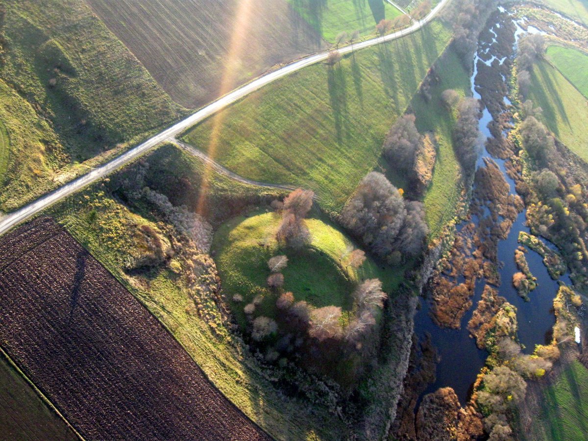

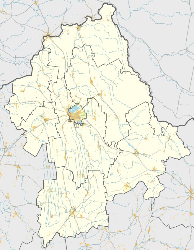
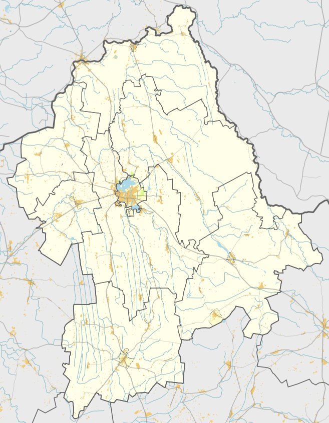
Šimonių hillfort, also known as Migonių, Paberžių, or Sindriūnų hillfort, is located 6 km west of Pasvalio in the Pasvalio eldership, on the western bank of the Mūšos river. It sits in a river bend at the confluence with the Pušynes river. The site is reachable via road 205 through Valakėlius, 1.3 km from the railway crossing, 50 m to the right of the road.
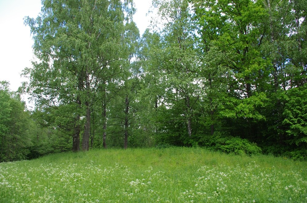
The hillfort is situated in a coastal bend where the Mūšos meets the Pušynes. It features a circular area 30 m in diameter, surrounded by a wall 1-3.5 m high and 12-22 m wide, which is highest on the western side. To the west of the elevation, the hillfort is separated by a ditch 90 m long, 2-3 m deep, and 12 m wide. The slopes rise to heights of 7-10 m. The site dates to the 1st millennium and the 13th century.
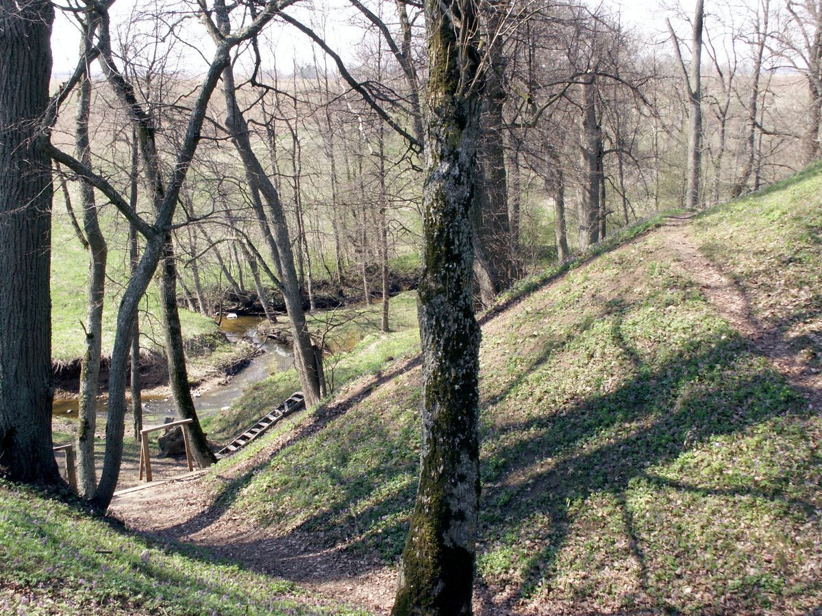
The hillfort is overgrown, with birches and lindens growing on the upper part of the slopes and a path formed by lindens on the western slope. It has been studied only during reconnaissance expeditions. It is thought that the hillfort was used as a defensive fortification, protecting the lowlands from the Kalavijuočiai.
Sources: Wikipedia, OpenStreetMap, Wikidata, Wikimedia Commons



Written by Nicolo Ciampini
Discuss this with the author and others
No comments yet. Be the first to start the conversation.