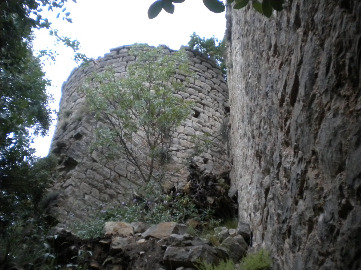

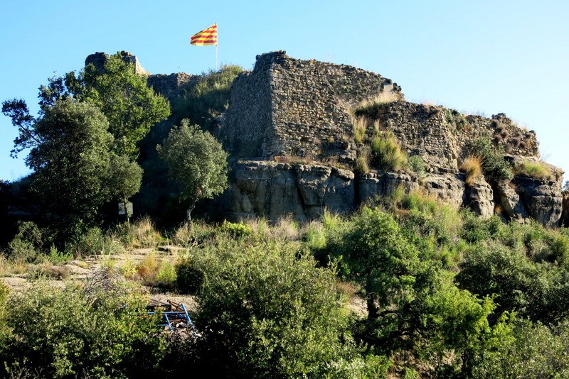
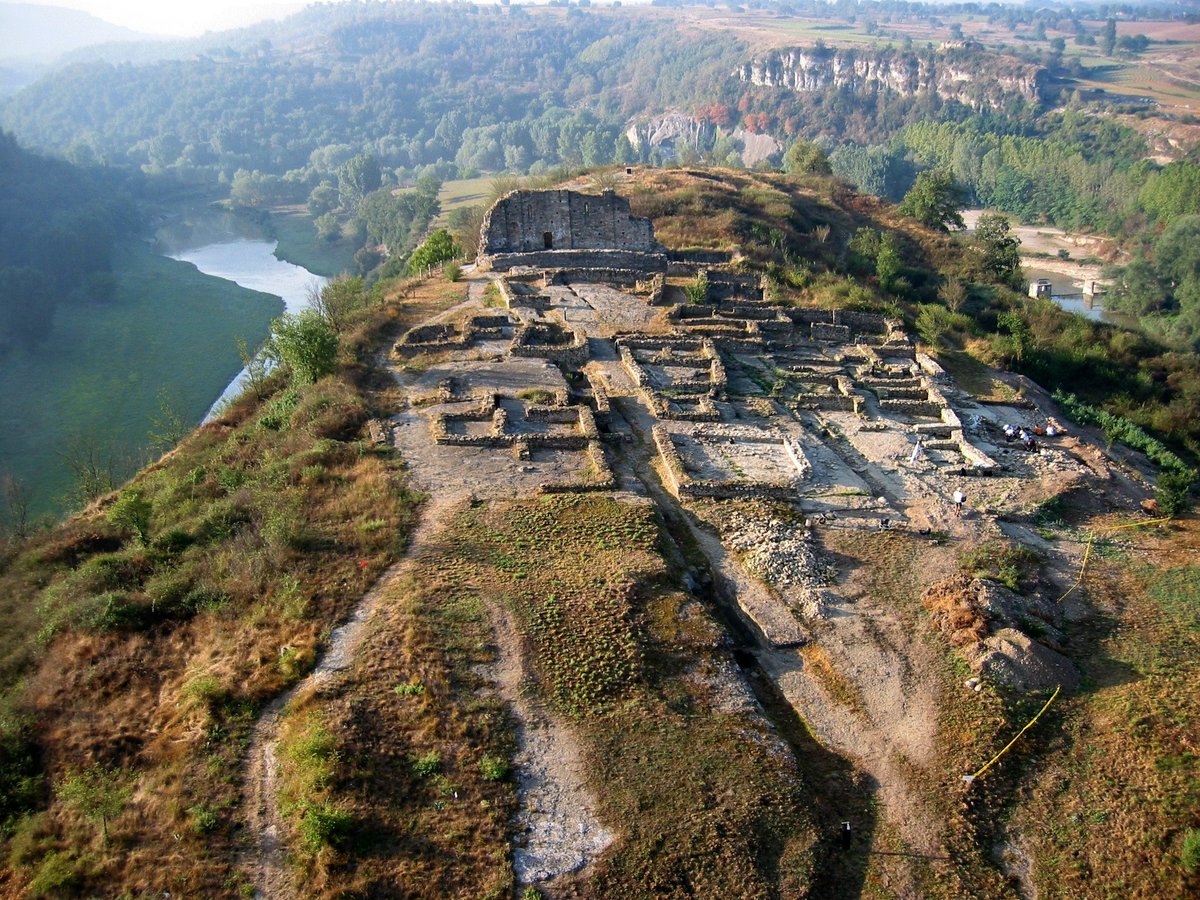
The castle of Fornils occupies a strategic position on a small hill by the torrent de l'Om de Vallisana. From this vantage point, it commanded the territory between the Far cliffs and the Rupit crags.
Historical records reveal a landscape in flux. In the 11th century, this region belonged to a large territory centered on the nearby castle of Fàbregues. However, during the 12th and 13th centuries, the land was divided. One half remained under the influence of the castle of Rupit, while the other became the lordship of Fornils. This split eventually placed Fornils under the authority of Cardona. In 1310, Bernat Amat de Cardona i d'Empúries passed the castle to his daughter, Sibilla.
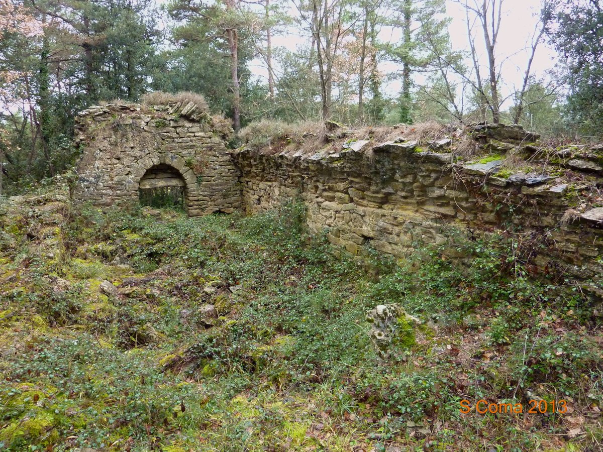
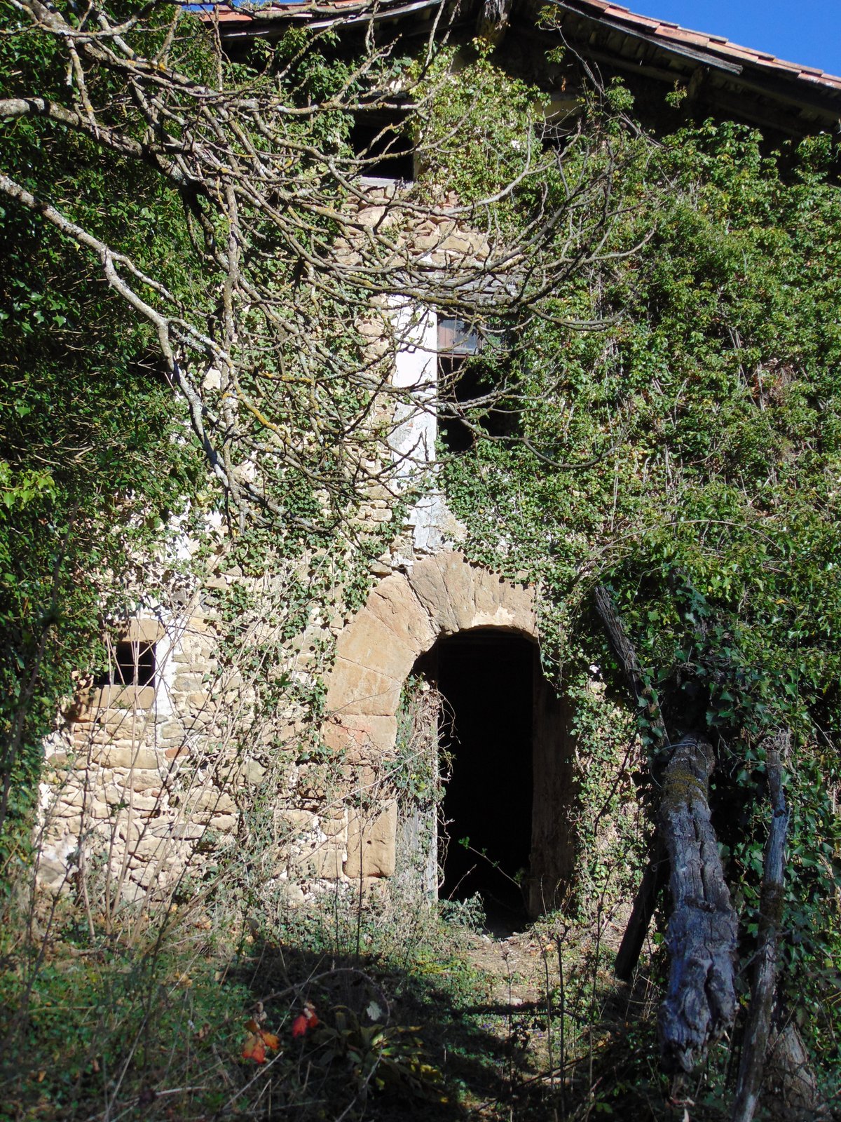
We invite you to observe the core of the site, where a round keep rises about 8 metres high. Its walls reach 1.25 metres in thickness and feature a defensive array of loopholes and small square windows. While time and vegetation have worn the masonry, the scale of this residential fortress remains clear. The north face shows more than six narrow slits that confirm its defensive character.
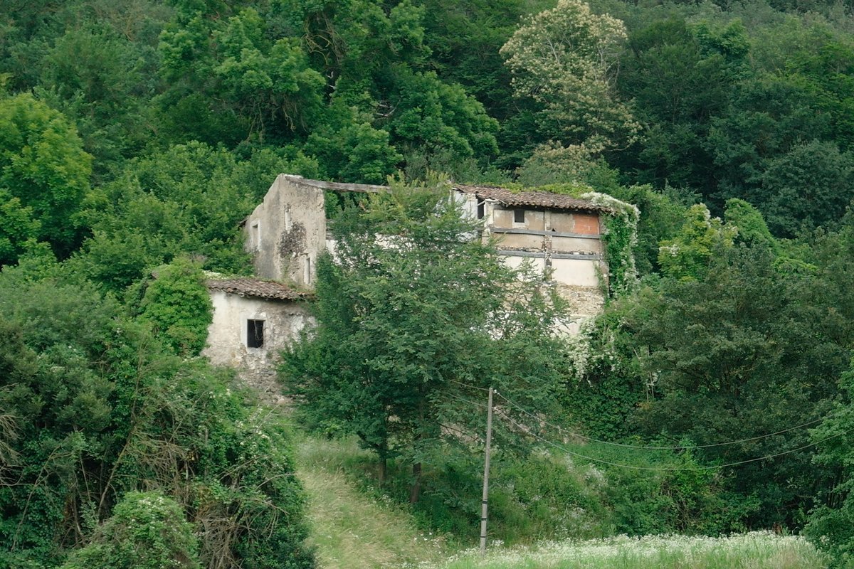
Today, the ruins provide a quiet opportunity to study medieval military life. You may explore the standing walls, which vary in height from 1 to 10 metres, and the large rectangular room attached to the northeast side of the keep. There is much to discover in these enduring stones.
Sources: Wikipedia, OpenStreetMap, Wikidata, Wikimedia Commons
Written by Nik Frost
Discuss this with the author and others
No comments yet. Be the first to start the conversation.