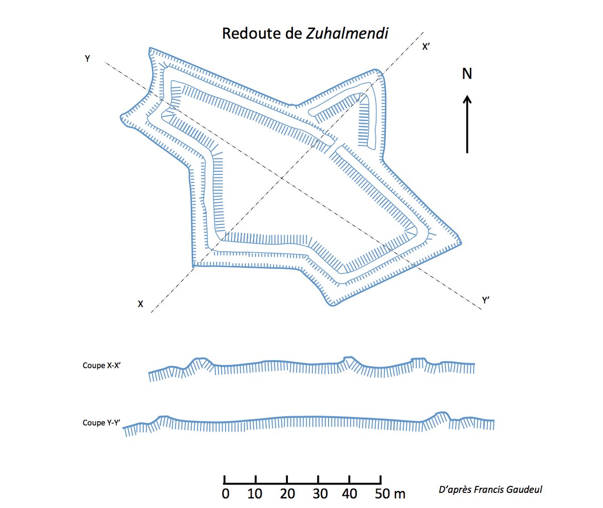

The fortifications of the Rhune are military structures located on the mountain of the Rhune, just west of the border between Spain and France. These defensive works were built for some during the campaign of 1793-1794 and later reused to contain the advance of the Anglo-Hispano-Portuguese coalition. More than twenty redoubts are distributed across the communes of Ascain, Sare, Urrugne, and partially Saint-Pée-sur-Nivelle and Biriatou.
At the beginning of the 19th century, the coalition forces moved towards Bayonne from the slopes of the Rhune. Under the orders of Marshal Soult, French forces defended redoubts such as Zuhalmendi, Grenada, and the Chapelle de la Madeleine. However, the layout was poorly adapted for counter-attacks. Combined with the inexperience of the defenders at the redoubts of Ermitebaïta and Mendibidea, the coalition troops were able to penetrate the defense and push the French forces back toward Saint-Pée-sur-Nivelle.
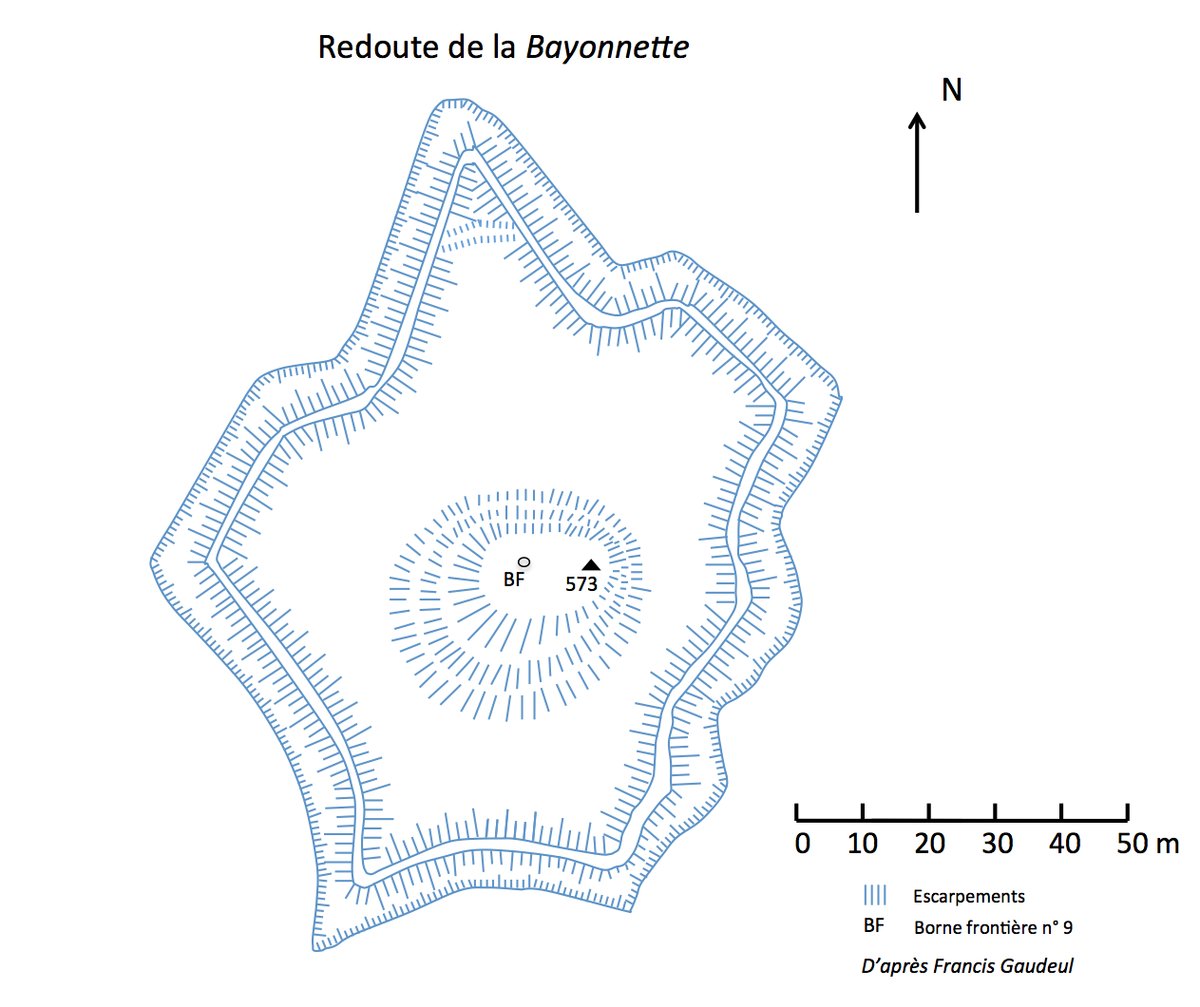
These redoubts were perched on high ridges and designed as isolated shelters for infantry who would otherwise be forced to form squares in open terrain. While trenches were used to increase mobility and provide partial cover, the small number of soldiers the works could house made it difficult to extract from them or conduct counter-attacks. Some structures, like the Louis XIV redoute in Sare, even possess protohistoric origins, while others were built in star, quadrilateral, or pentagonal shapes to suit the topography of the mountains.
Sources: Wikipedia, OpenStreetMap, Wikidata, Wikimedia Commons
Written by Nicolo Ciampini
Discuss this with the author and others
No comments yet. Be the first to start the conversation.