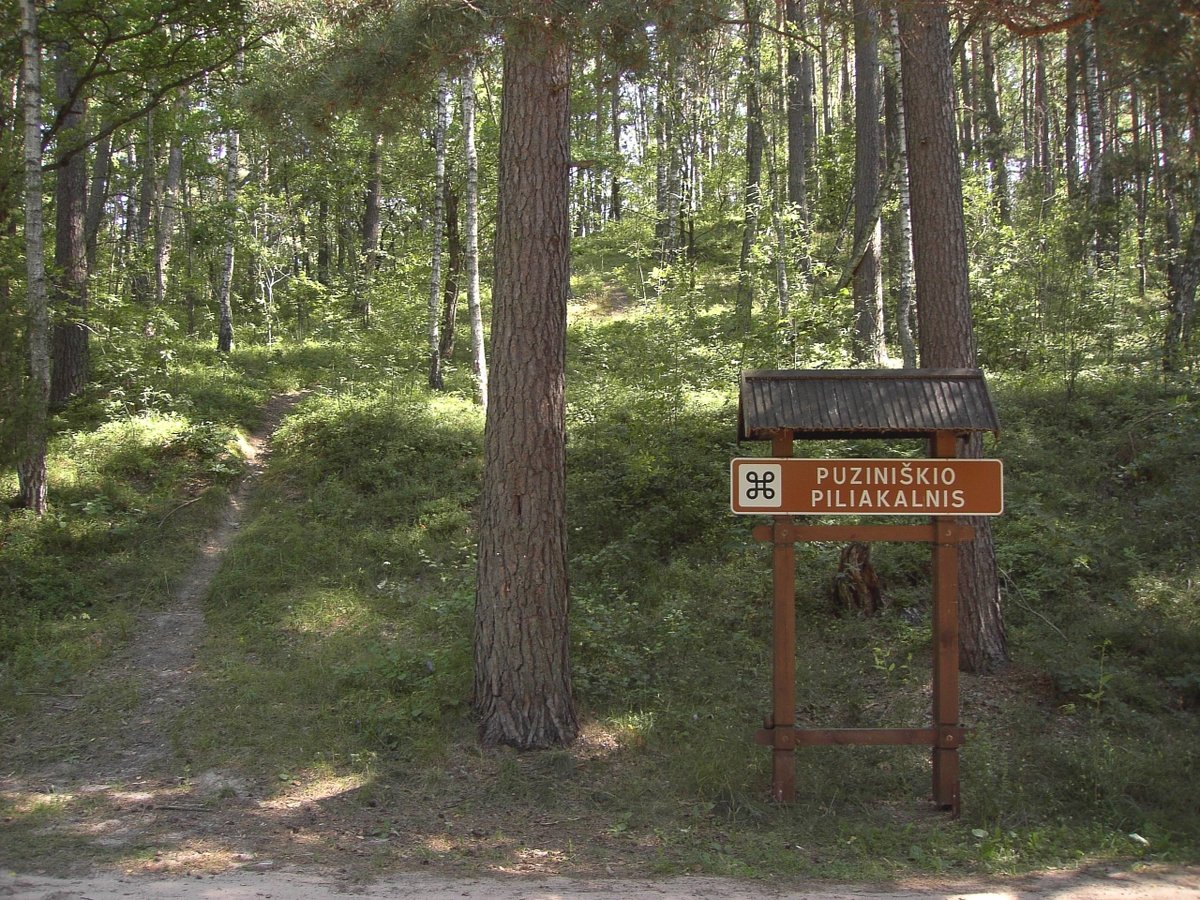

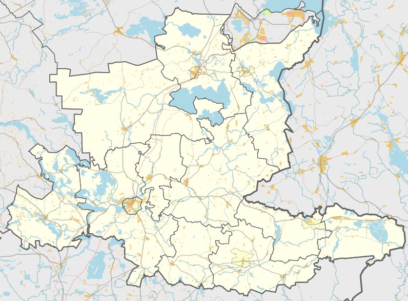
Puziniškio piliakalnis is a fortified hill fort located in the Linkmenų parish of the Ignalinos district, to the northwest of Puziniškis. The site is reachable via the Antalksnė - Ginučiai road by crossing the bridge between Lake Linkmena and Lake Asalnykščio, situated just to the right in a north-east direction.
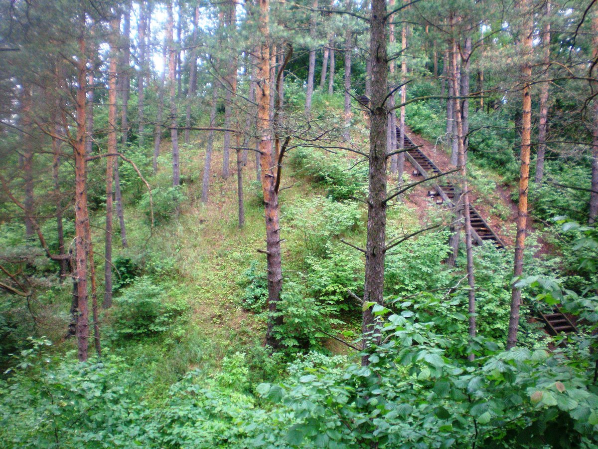
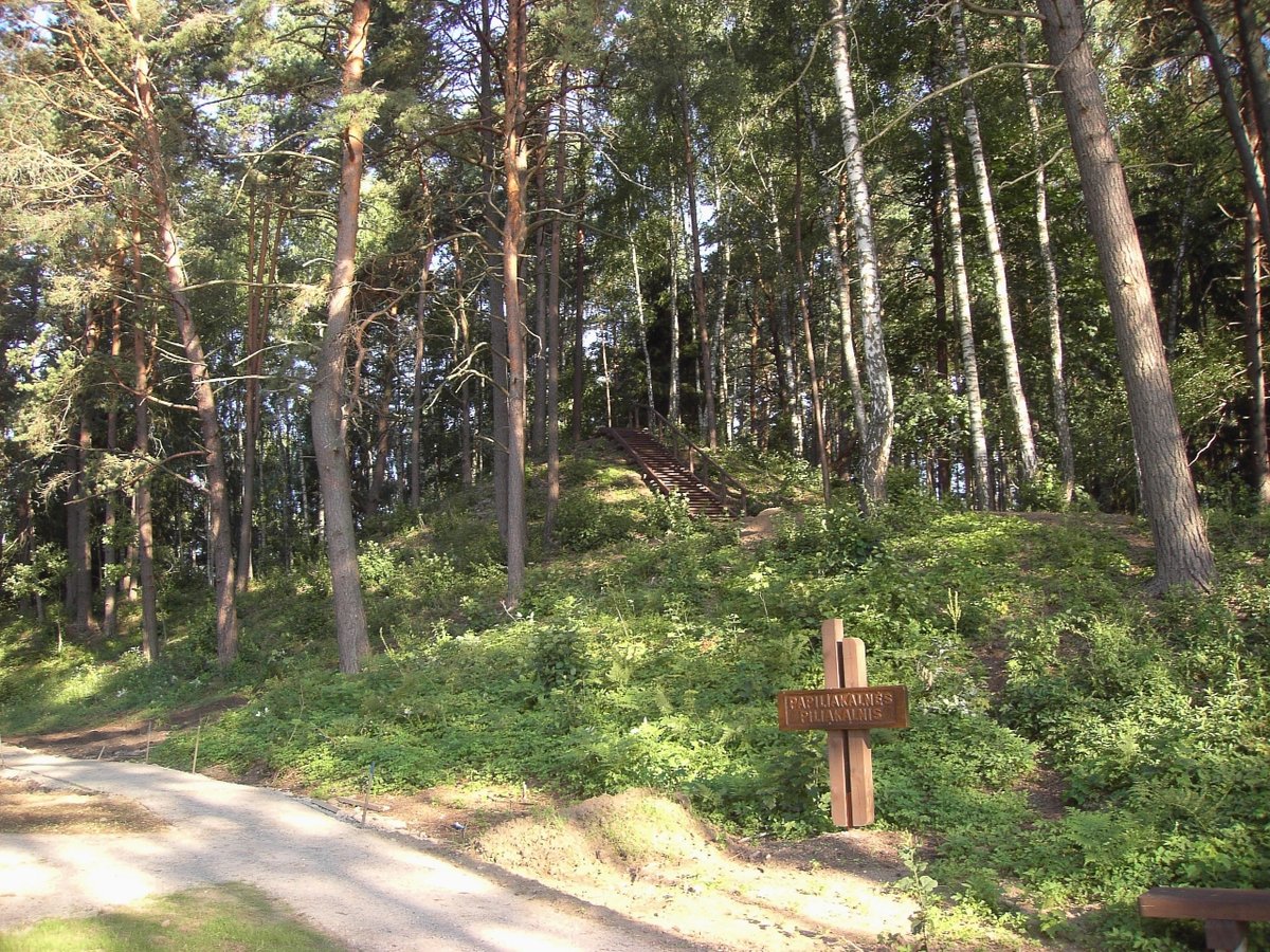
The fort is situated on a separate hill on the northern shore between Lake Linkmena and Lake Asalnykščio. It features an oval enclosure measuring 18 by 14 metres, which is 1 metre high in the center. All sides are surrounded by a 2-metre wide ditch, 0.2 metres deep. Behind this ditch is a rampart, which is best preserved on the southwest side at 0.3 metres high, while other areas have 5-metre wide terraces. Below the main floor, at a depth of 4 metres, lies another 5-metre wide terrace containing a cultural layer.
Archaeological surveys conducted by the Scientific Methodical Council in 1985 date the site to the first half of the first millennium. The site is recognized as a state-protected cultural monument, with a total area of 24,000 square metres. The slopes, reaching heights of 10 to 20 metres, are covered in a mix of birch and pine trees.
Sources: Wikipedia, OpenStreetMap, Wikidata, Wikimedia Commons


Written by Nicolo Ciampini
Discuss this with the author and others
No comments yet. Be the first to start the conversation.