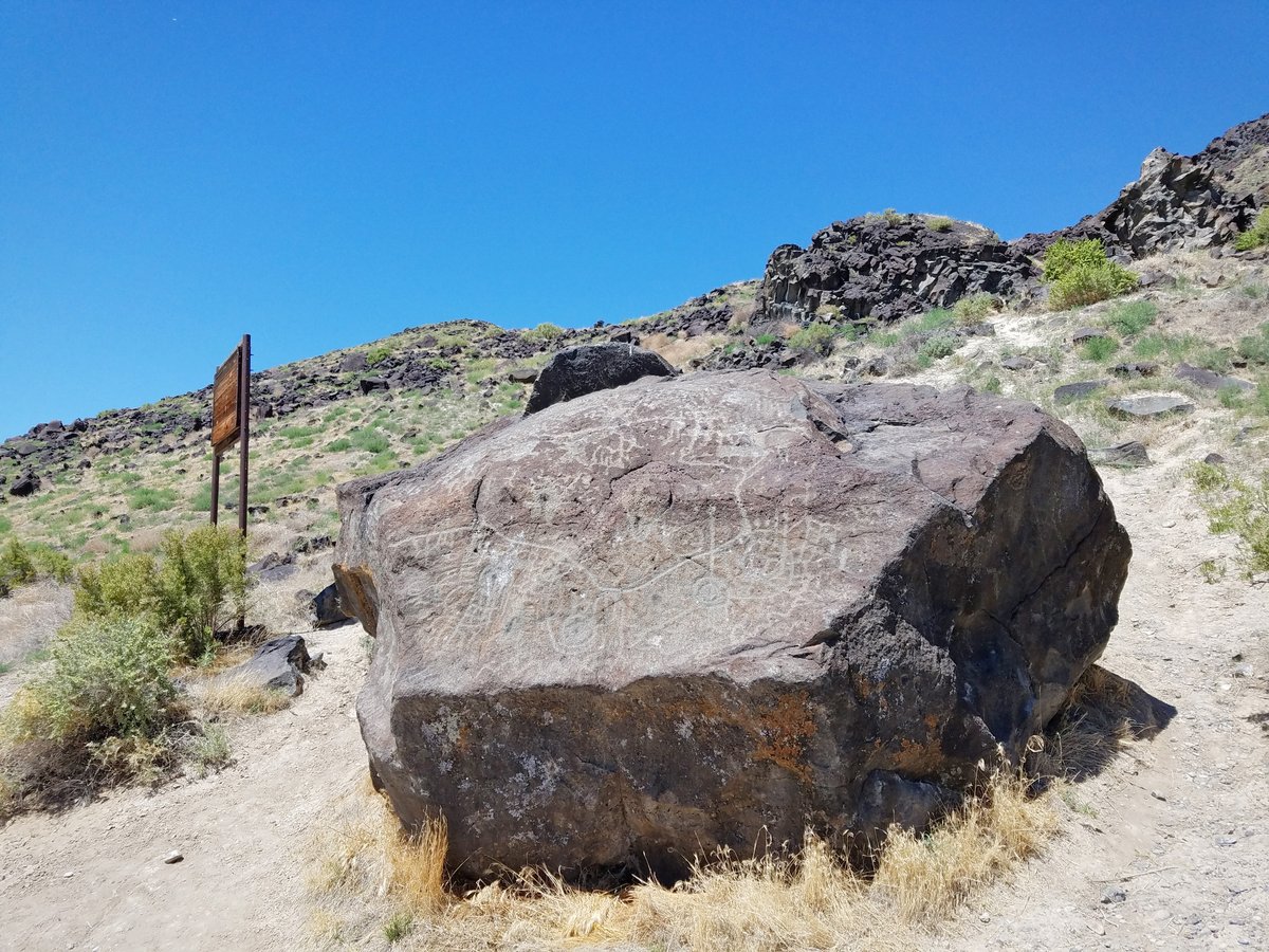
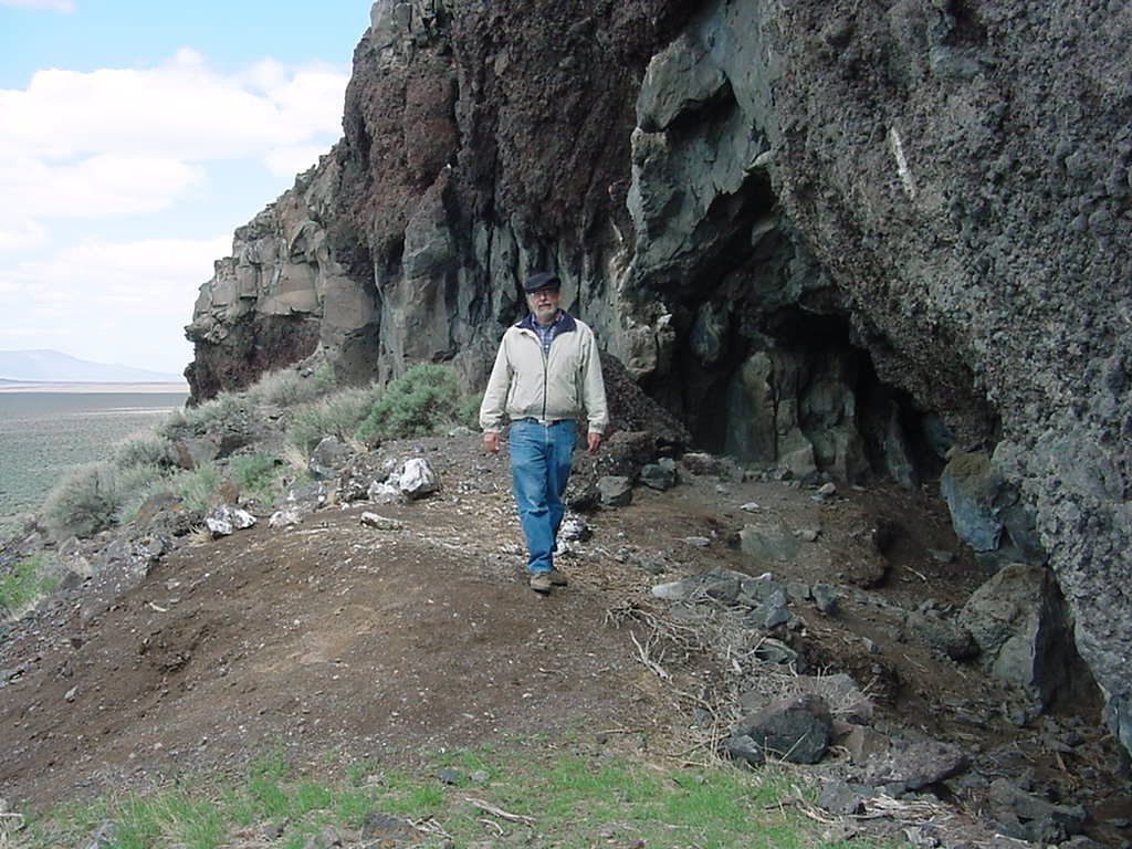
The Map Rock Petroglyphs Historic District in Canyon County, Idaho, is an archaeological site that includes petroglyphs believed to have been made by Northern Shoshone prior to contact with the 19th-century Westward expansion of settlers in Idaho.
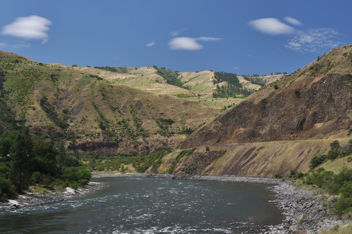
The historic district is named for Map Rock, a massive basalt rock covered in petroglyphs, named by Robert Limbert in the early 1920s. Limbert believed that the rock depicts a map of the Snake River valley, and some authors have suggested that if it is a map then it may be the oldest map in the world.
In 1924 a plan emerged either to move Map Rock to Boise or to cut the rock and move pieces to Boise to become a feature of the State Capitol grounds. Although the plan soon was abandoned, the rock was found to have sustained damage.
Map Rock and the surrounding 38 acres were acquired by Canyon County in 2012. R.P. Erwin penned Indian Rock Writing in Idaho in 1930, while Don Zuhlke wrote The Map Rock of Idaho Decoded in 2016.
Sources: Wikipedia, OpenStreetMap, Wikidata, Wikimedia Commons

Written by Leroy
Discuss this with the author and others
No comments yet. Be the first to start the conversation.