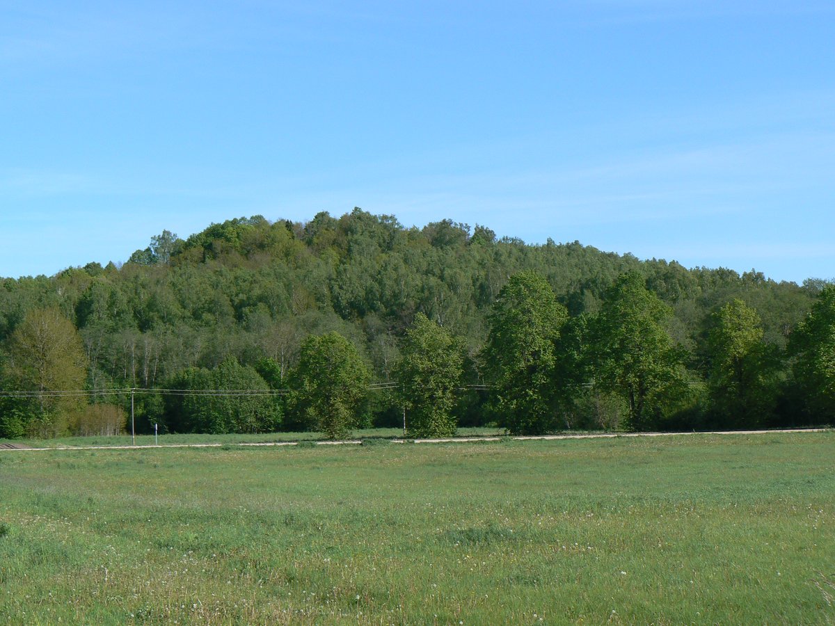

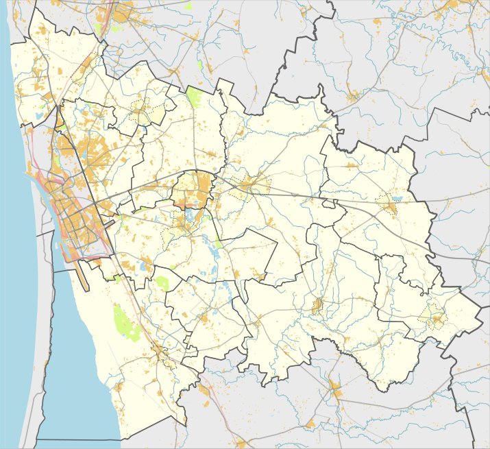
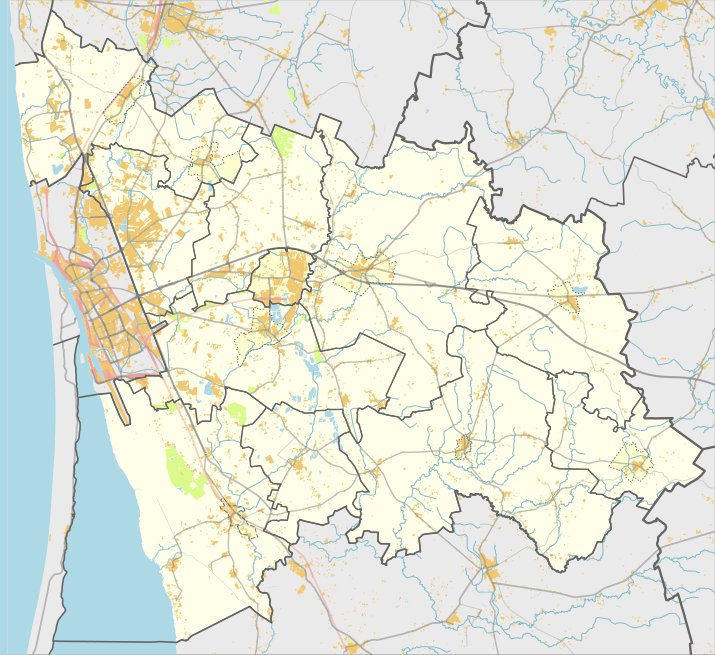
Gerduvėnų piliakalnis, also known as Pilalė, is an archaeological site located in the Klaipėda district near the village of Gerduvėnų. Situated on the edge of a height between the Minija and Gerdaujės rivers, the site features an oval clearing measuring 95 by 70 metres, oriented northwest - southeast.
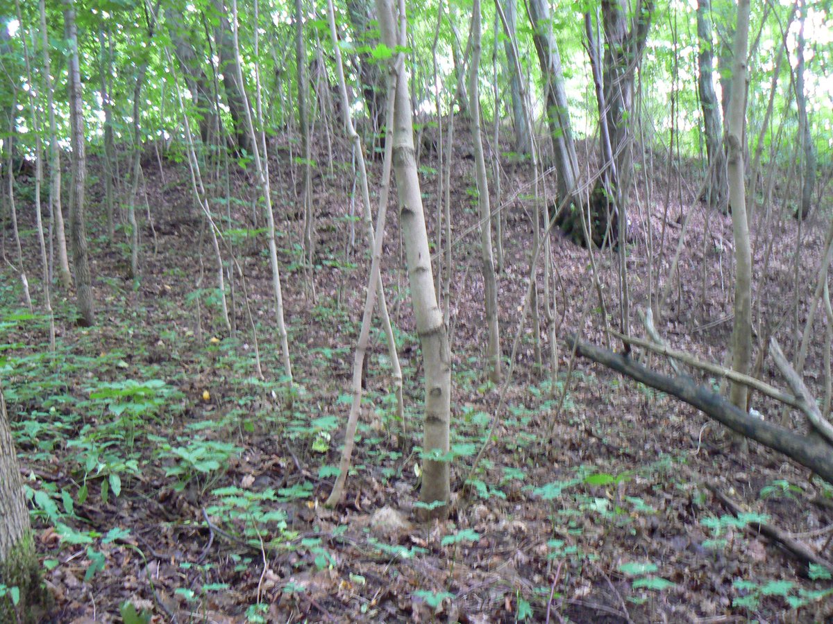
The fortification includes a 2 metre high slope leading into a 5 metre wide ditch, 0.3 metres deep. Behind this is a 10 metre wide rampart, 0.2 metres high, followed by a second 5 metre wide ditch, 0.3 metres deep. This is followed by a secondary fort with a rectangular clearing measuring 27 by 13 metres. This inner area features a 1 metre high, 9 metre wide rampart with an outer 1.2 metre slope dropping into a 4 metre wide ditch.
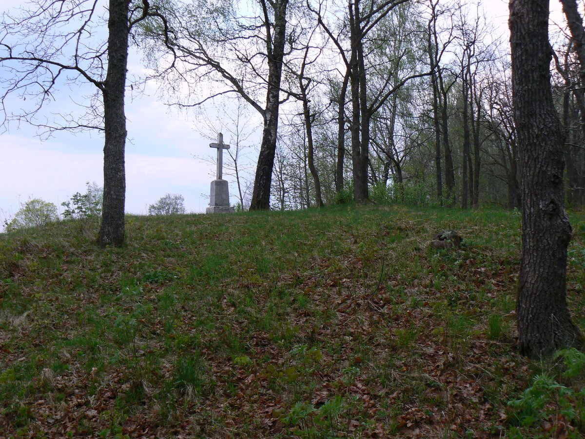
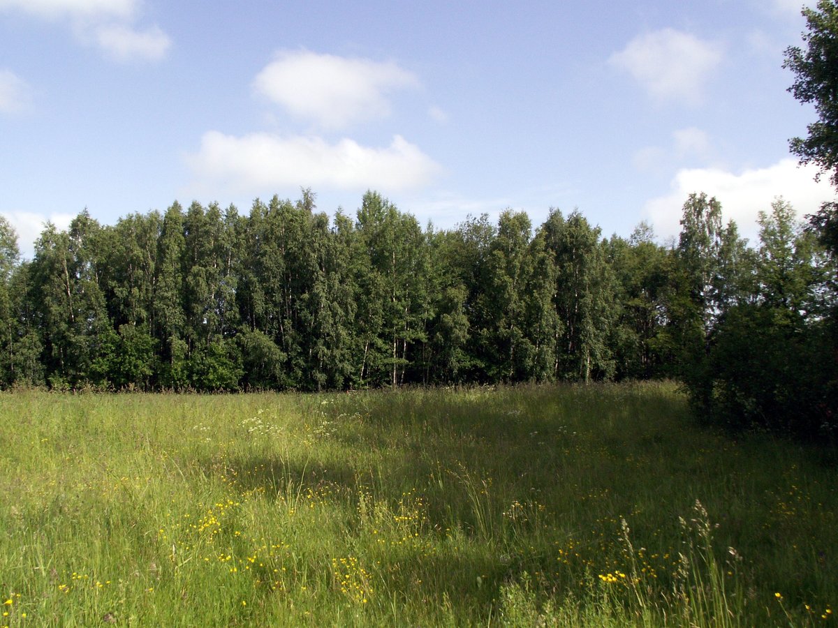
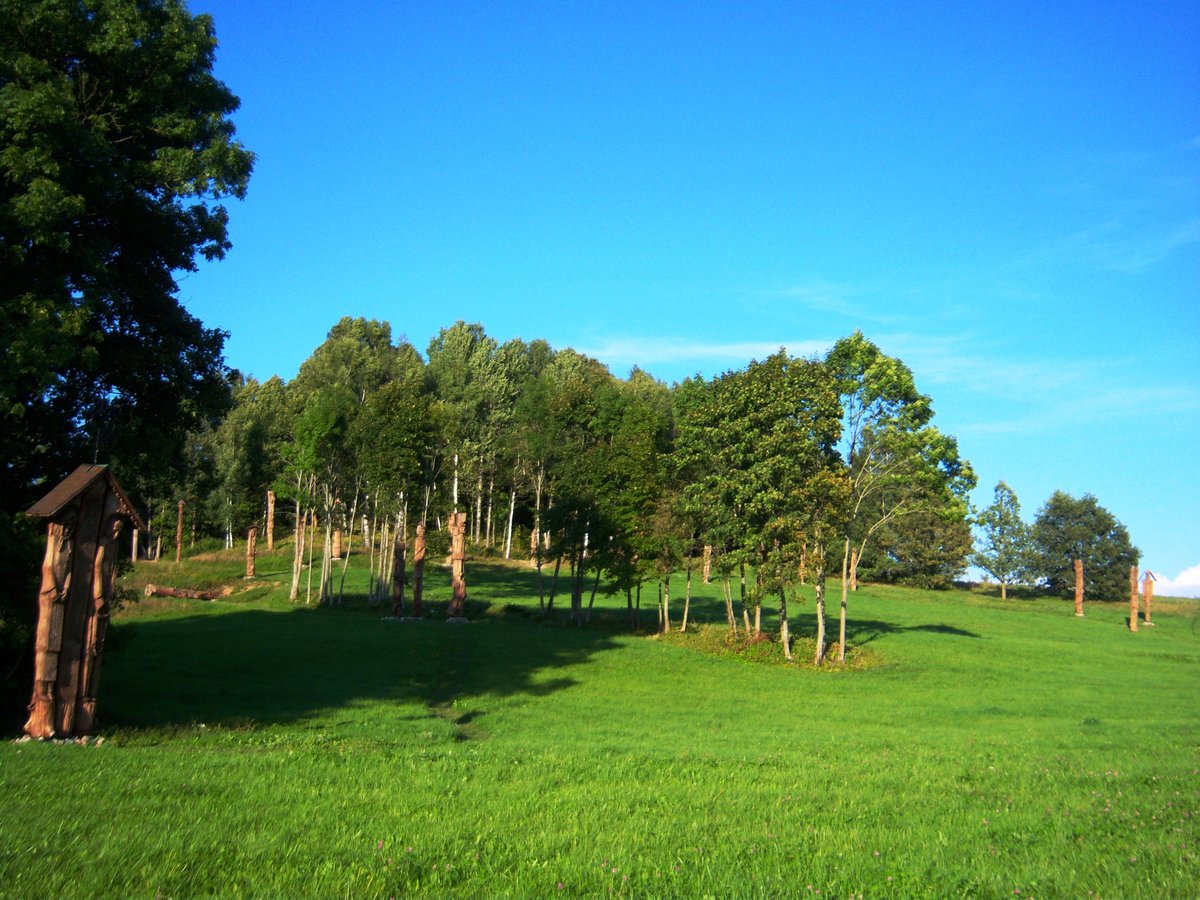
The rampart of the inner fort slopes downward into the southwestern slopes of the hillfort, creating a 5 metre wide terrace. The slopes of the site stand 35 metres high. While the site is currently overgrown with birch trees, it contains a settlement on a 1.1 hectare plot on the western side.
Archaeological research conducted by the Institute of Lithuanian History in 1963 dates the hillfort to the period between the 1st and 13th centuries.
Sources: Wikipedia, OpenStreetMap, Wikidata, Wikimedia Commons



Written by Nicolo Ciampini
Discuss this with the author and others
No comments yet. Be the first to start the conversation.