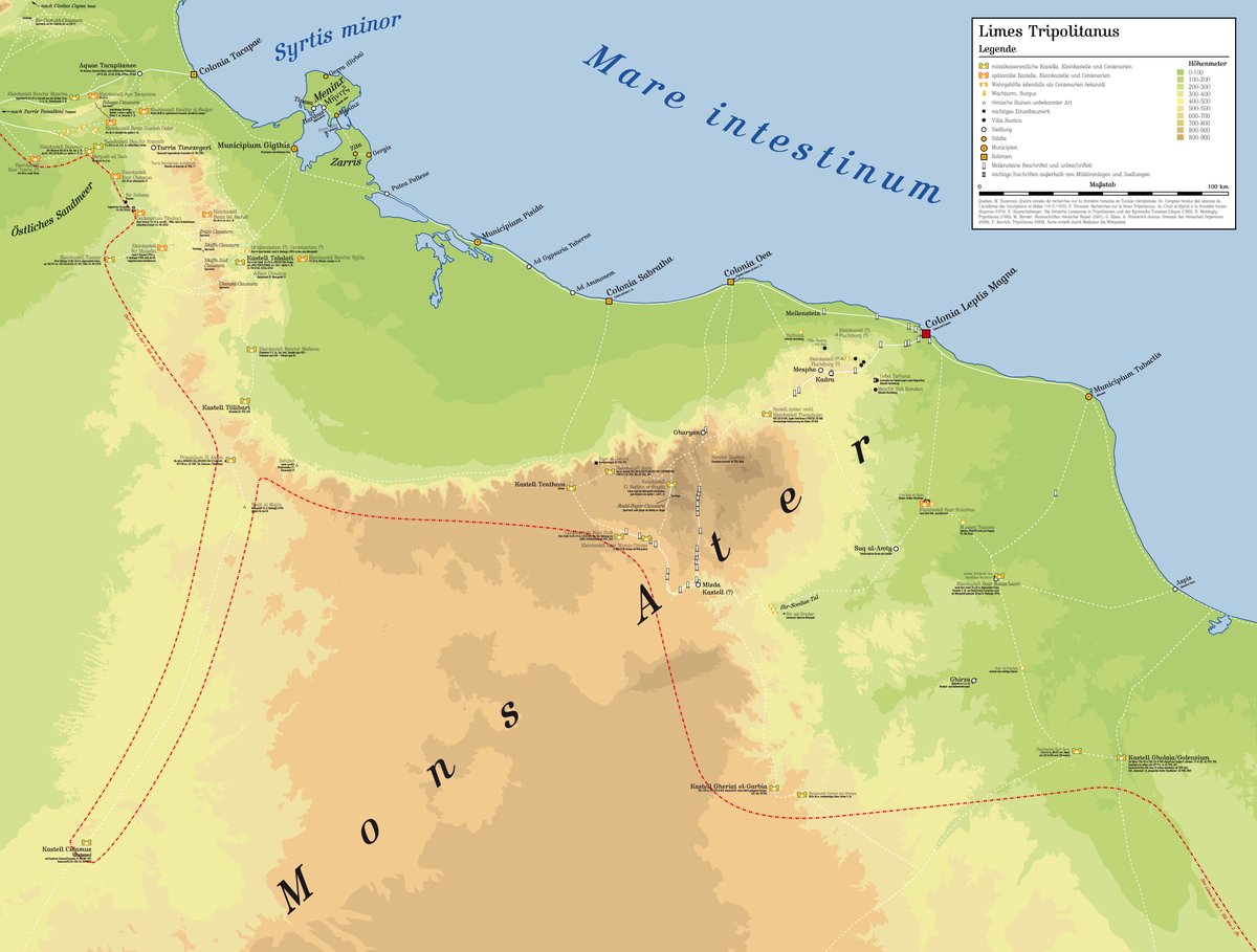

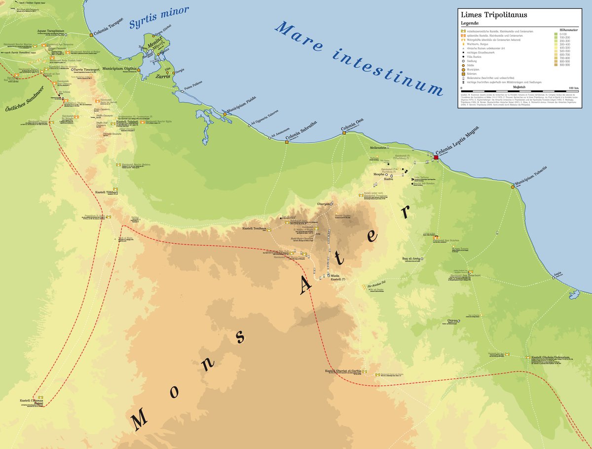
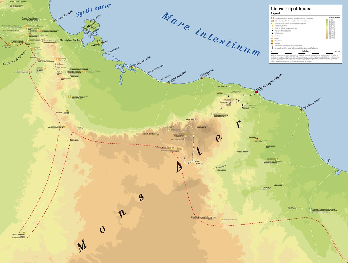
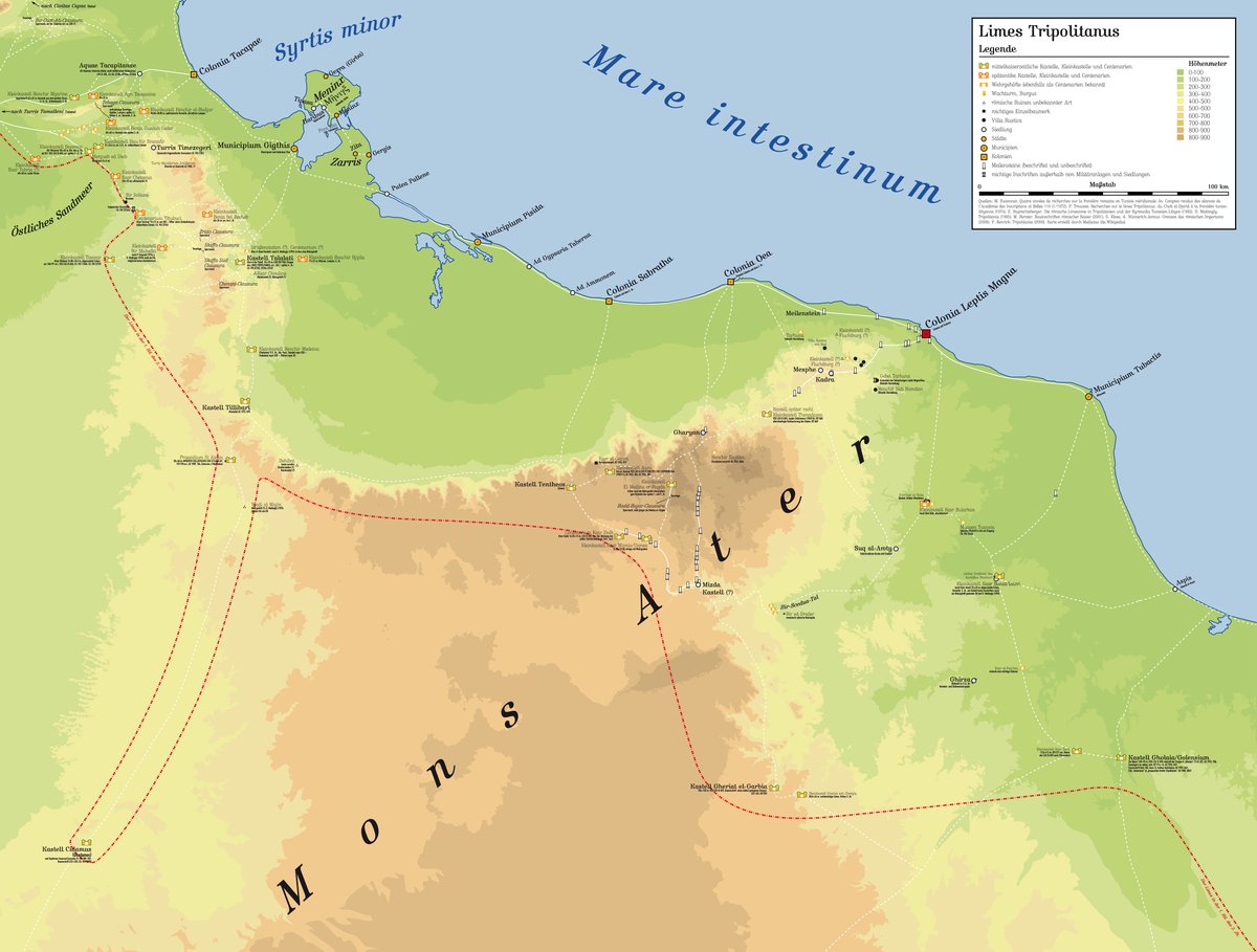
On a high ridge where the dry riverbed of Wadi Bel Recheb begins, the ruins of the Kleinkastell Benia bel Recheb remain. This rectangular fort, measuring just over 40 by 40 metres, was part of a deep-seated system of fortifications along the Limes Tripolitanus. The garrison was responsible for monitoring the Jefara Plain - the fertile coastal land to the east - and controlling the trade routes for Rome. They also maintained the 'Clausurae' or barriers at the nearby Djebel Demmer.
From its position, the garrison could overlook most of the wide valley floor. The site was strategically placed to oversee a major mountain pass leading toward the coast. To the east, other military posts like Kleinkastell Tisavar and Kleinkastell Bir Mahalla worked in tandem to monitor the desert border and the shifting dry river branches that flow toward the west.
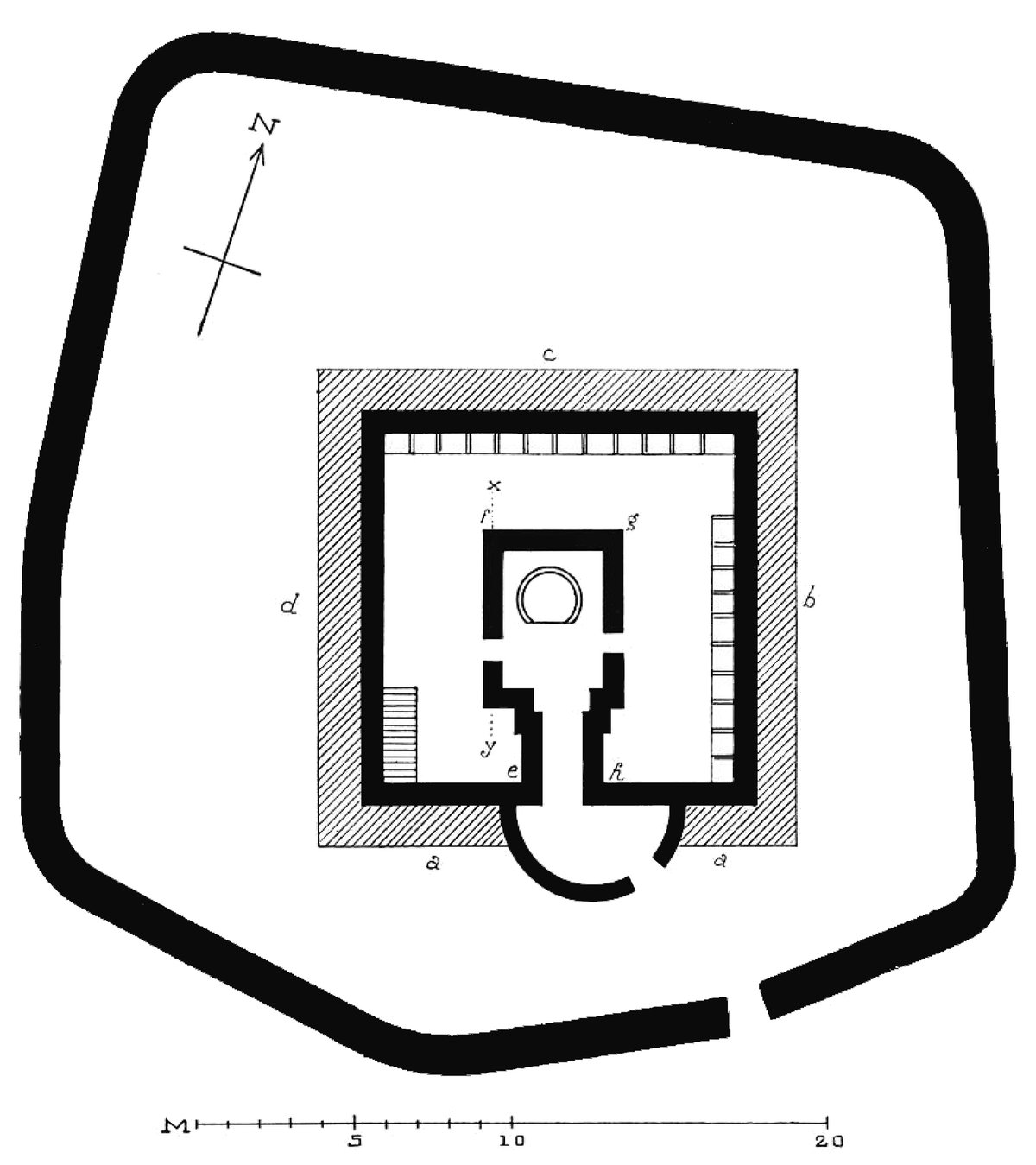
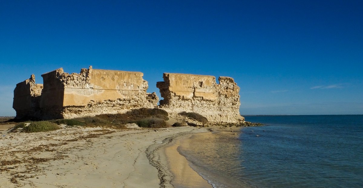
The fort's walls were built from carefully hewn rectangular blocks, some of which were pulled from a nearby quarry. Research from 1903 indicates that in certain sections between the towers, the defensive wall reached four metres in height and featured a protruding cornice. The structure included rectangular towers at each corner and at least two intermediate towers, flanking a main gate with a single-lane entrance and a small corridor
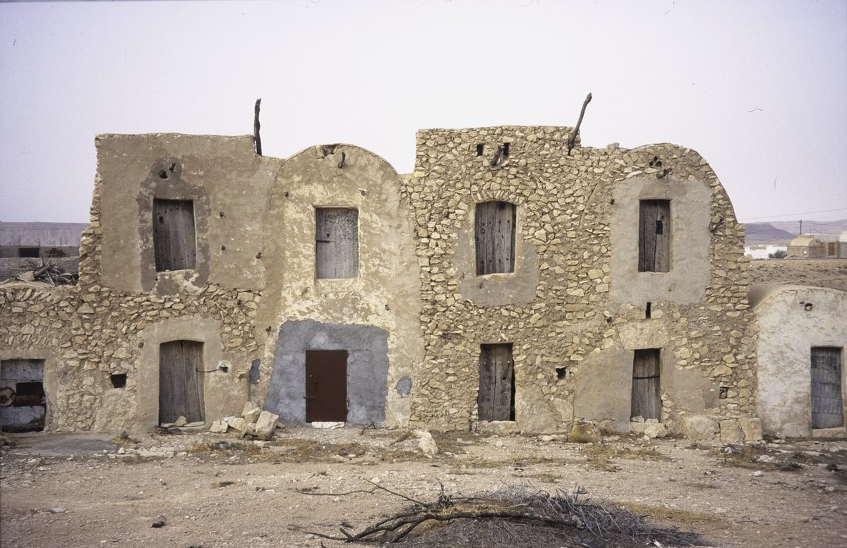
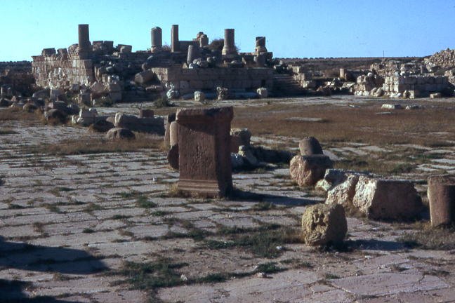
Over time, the fort suffered from extensive stone robbing, which continues into the present day. Despite this, the high-quality craftsmanship of the masonry has preserved much of the site. Today, the remains of the surrounding walls still stand among the hills, showing the precision of the Roman military engineers who built them to protect the province of Tripolitania.
Sources: Wikipedia, OpenStreetMap, Wikidata, Wikimedia Commons

Written by Mutabor
Discuss this with the author and others
No comments yet. Be the first to start the conversation.