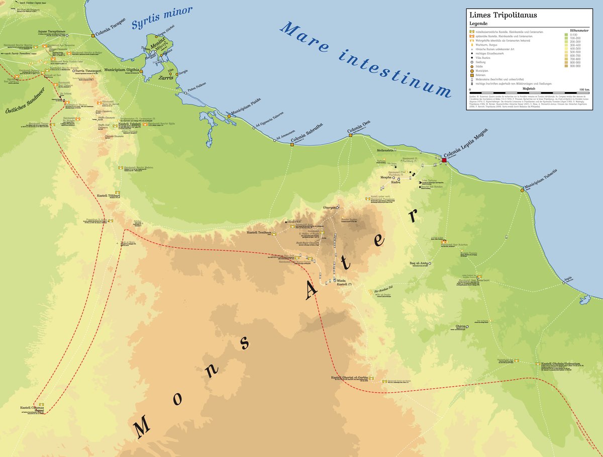

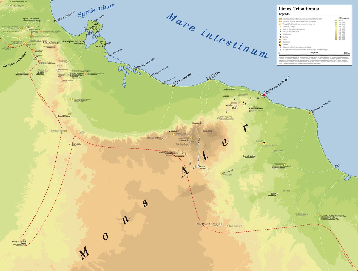
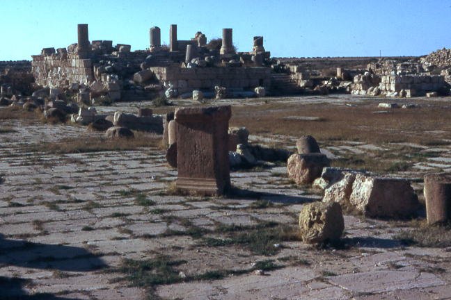
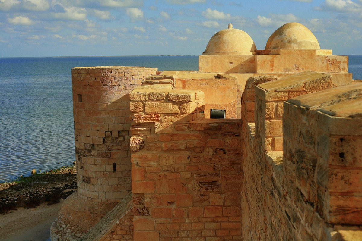
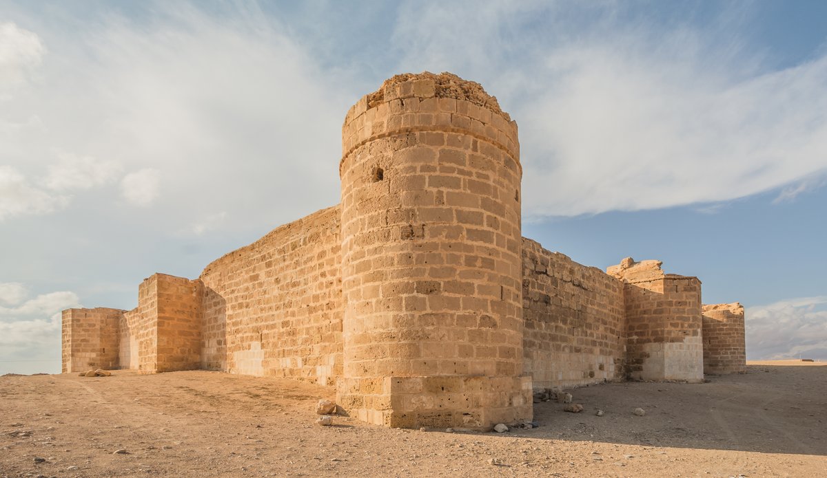
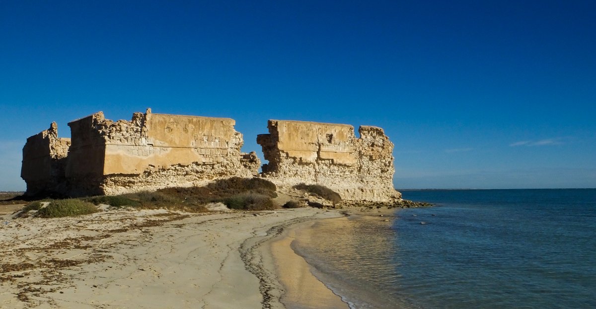
Henchir Krannfir, also known as Henchir Khanefi or Henschir Krannfir, was a small late Roman military fortlet. Its garrison was responsible for security and surveillance tasks along the Limes Bizerentanus, a section of the Limes Tripolitanus in the province of Africa proconsularis. The small fortification was located at the northeastern edge of the Eastern Great Erg in the Governorate of Gabes. Strategically positioned on the southern slope of the Djebel Oum ech Chia, the site sat in a large valley that narrowed towards the northeast.
The fortlet hill was bypassed in a half-circle from the northeast to the southwest by a dry river that eventually flows into the Wadi Hallouf. This river flows past the small fortlet of Bezereos about seven kilometers away. To the north, the hills of the Oum ech Chia limited the monitoring of the land. To the south, the lowland was bounded by the Matmatagebirge, part of the Dahar mountains, while the Djebel Tebaga ridge ran in a curved shape from west to east. In the antiquity, important trade routes from the oases bundled at the Tebaga Gap, and the Romans secured this pass with the Tebaga-Clausura, a continuous barrier and watchtowers.
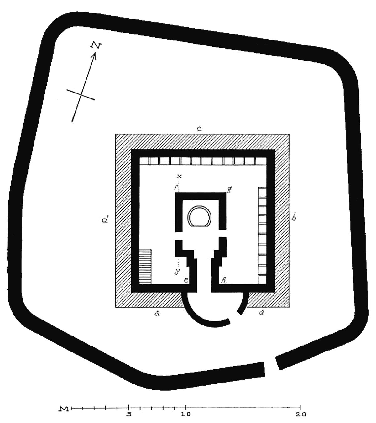
HHenchir Krannfir likely served a second route through the Tebaga Gap, leading from Bezereos where a vexillation of the Legio III Augusta was stationed. Its position on the slopes of the Djebel Oum ech Chia allowed the garrison to observe the wide surroundings and maintain visual contact with the small fortlet of Bezereos and the watchtower on the Mergueb ed Diab. The fortlet was oriented according to the cardinal directions and featured an irregularly shaped central courtyard flanked by several rooms whose rear walls formed the outer wall of the small fortlet. Entry was possible only through a narrow gate on the southern side, which also served as the Prätorialfront facing the border.
The structure, typical of fortifications along the Tripolitanian Limes, dates to the late 2nd or 3rd century. Unique to this site was an area used as stables that could house at least eight horses, with stone troughs preserved in situ. The detachment stationed here was likely a mounted unit subordinate to the nearby fortlet of Bezereos. The surrounding land, now desert, was made arable in antiquity through an irrigation system of defensive forts that supported both the military and a relatively large civilian population.
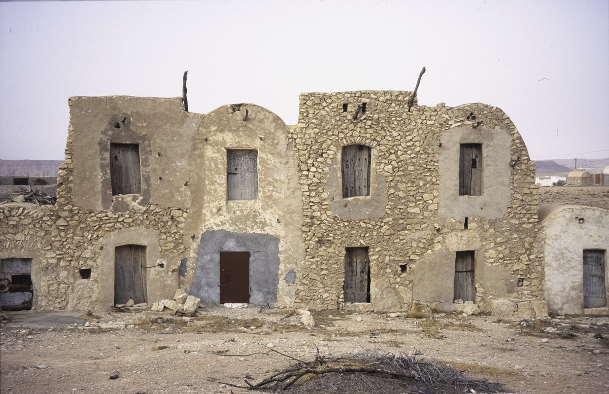
The site was partially uncovered in 1903 by the French officer Raymond Donau, who failed to create a precise excavation protocol. The ruins remained visible and were reused as quarters by soldiers during the fighting in March 1943, who modified the ancient structures to fortify their positions. Fragments of inscriptions found here include a non-readable Neo-Punic ostracon and two Latin-Punic ostraka, which were discovered by Donau before he began his excavations.
Sources: Wikipedia, OpenStreetMap, Wikidata, Wikimedia Commons


Written by Friendly Jane
Discuss this with the author and others
No comments yet. Be the first to start the conversation.