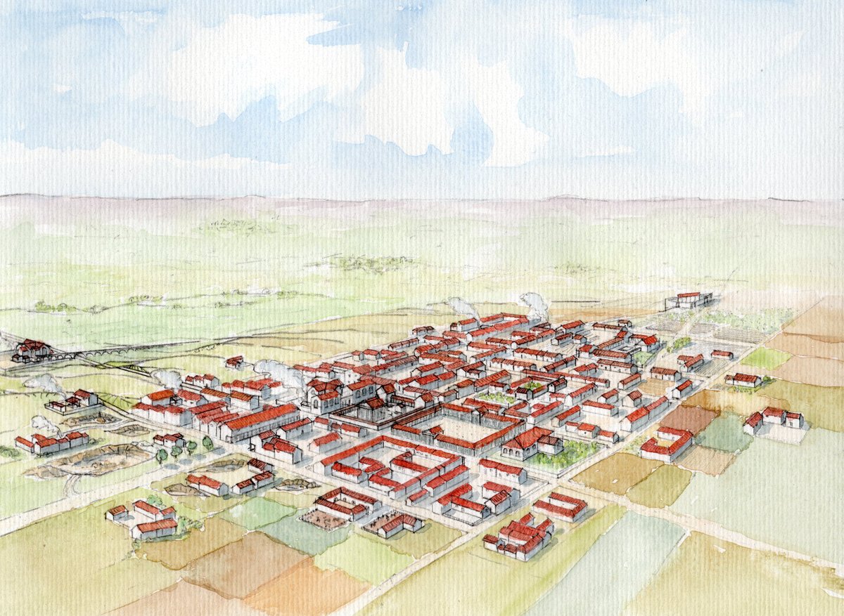

Alauna functioned as a road star where paths shot out toward Cherbourg in the north and Portbail to the southwest. Situated on a plateau between two parallel thalwegs, the town was connected to a dense network of roads and paths that irrigated the peninsula up to the Cap de la Hague. Some of these routes are documented by ancient written sources, while others are gradually revealed by archaeology.
The town housed between 3,000 and 4,000 people and served as a craft center including butchers, forges, and shopping areas. Its urban layout featured a cardo maximus and decumanus maximus, with the southern decumanus appearing to have played a significant role in facilitating long-distance connections.
While some historians and archaeologists have suggested that the role of chief town of the Unelli civitas might belong to Crociatonum or Cosedia, research on Alauna indicates that by its size and monumental structures, it could claim that status. The town was established during the reign of Augustus and underwent significant development during the first century.
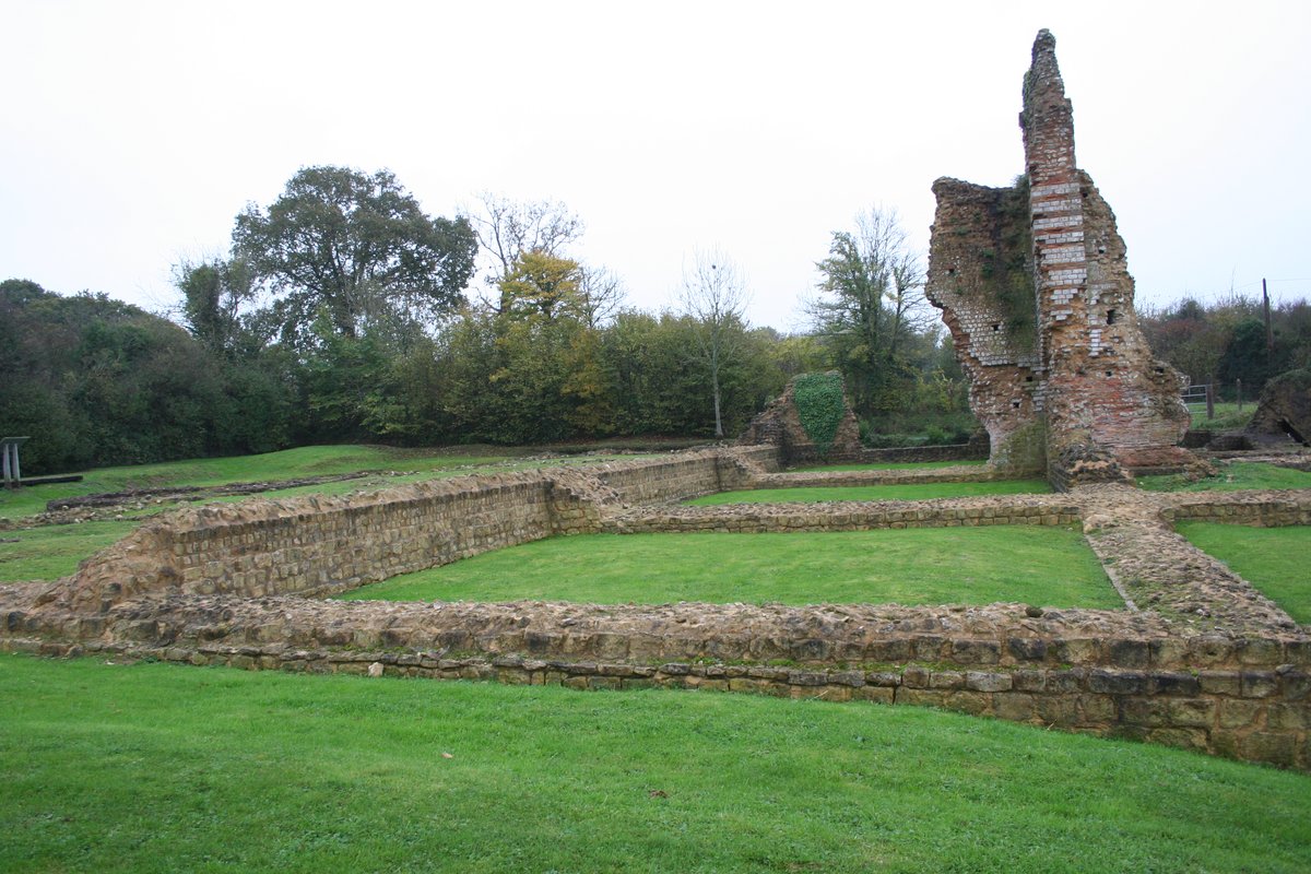
To the north of the city lie the Ancient Baths of Alauna, which were named a Monument historique in 1862. Today, the surrounding landscape is a Norman bocage used primarily for livestock farming, a vocation that has continued into the 21st century.
Sources: Wikipedia, OpenStreetMap, Wikidata, Wikimedia Commons
Written by Nicolo Ciampini
Discuss this with the author and others
No comments yet. Be the first to start the conversation.