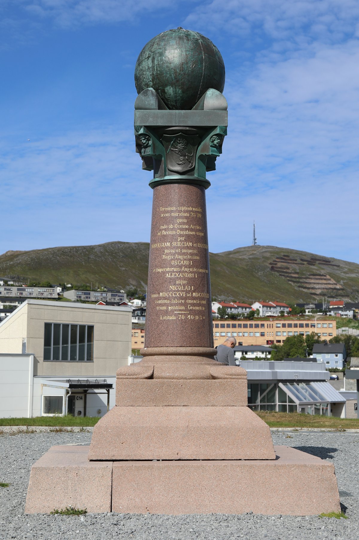
The Struve Geodetic Arc is an remarkable 2,820-kilometer chain of survey triangulations, stretching from Hammerfest in Norway to the Black Sea. This chain, established by the German-born Russian scientist Friedrich Georg Wilhelm von Struve in the years 1816 to 1855, was the first to provide an accurate measurement of a meridian arc. The Arc covers ten countries, passing initially through Norway, Sweden, and the Russian Empire. The Arc's first point is located in Alatornio Church, Estonia, where Struve carried out much of his research.
Measurement of the triangulation chain includes 258 main triangles and 265 geodetic vertices. The northernmost point of the Arc is near Hammerfest in Norway, while the southernmost point is in Ukraine. The World Heritage site incorporates 34 commemorative plaques or built obelisks out of the original 265 main station points, which are denoted by drilled holes in rock, iron crosses, cairns, and others. Each of Norway, Sweden, and Finland contribute several points to the Struve Geodetic Arc, with Fuglenes in Hammerfest, Norway serving as the first point.
Sources: Wikipedia, OpenStreetMap, Wikidata, Wikimedia Commons
Written by Nicolo Ciampini
Discuss this with the author and others
No comments yet. Be the first to start the conversation.