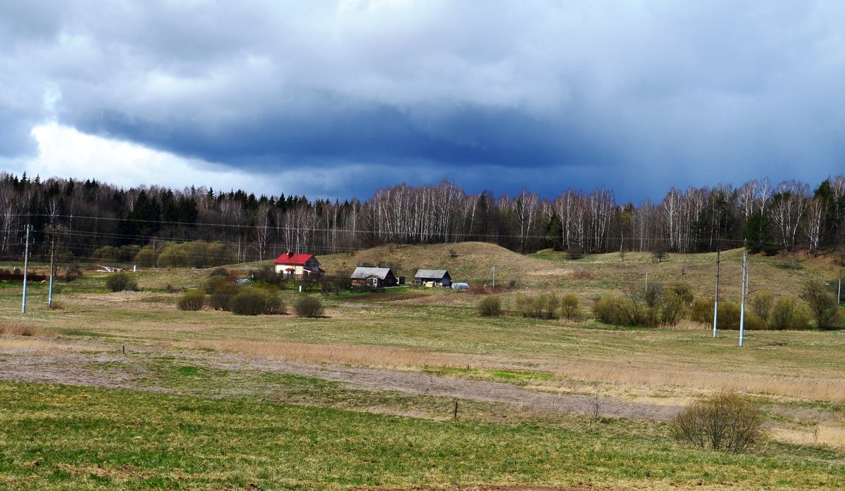

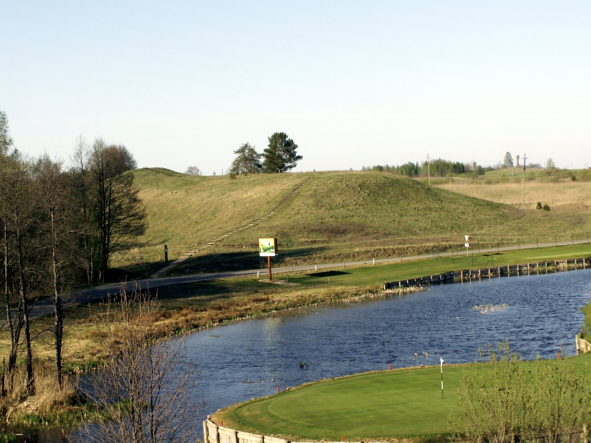
Mažosios Riešės piliakalnis, also known as Batarėja, is a historic archaeological site. Located on a height on the left bank of the Mažoji Riešė stream, it sits about 0.5 km northwest of the village of Mažoji Riešė. The hillfort area is triangular, measuring 32 m long and 45 m wide at the northern end, with a northern edge that is 1.5 m higher.
Along the northeast side, there is a rampart made of packed earth, measuring 65 m long and 1 m high. The site is separated to the north and east by a ditch that is 20 m wide and up to 4 m deep. The slopes are of average steepness and height, reaching 20 m in the north and east.
This hillfort dates back to the 1st millennium – the beginning of the 2nd millennium. Approximately 400 m to the northwest is a settlement from the 5th - 12th centuries, which was researched in 1974.
Sources: Wikipedia, OpenStreetMap, Wikidata, Wikimedia Commons




Written by Nicolo Ciampini
Discuss this with the author and others
No comments yet. Be the first to start the conversation.