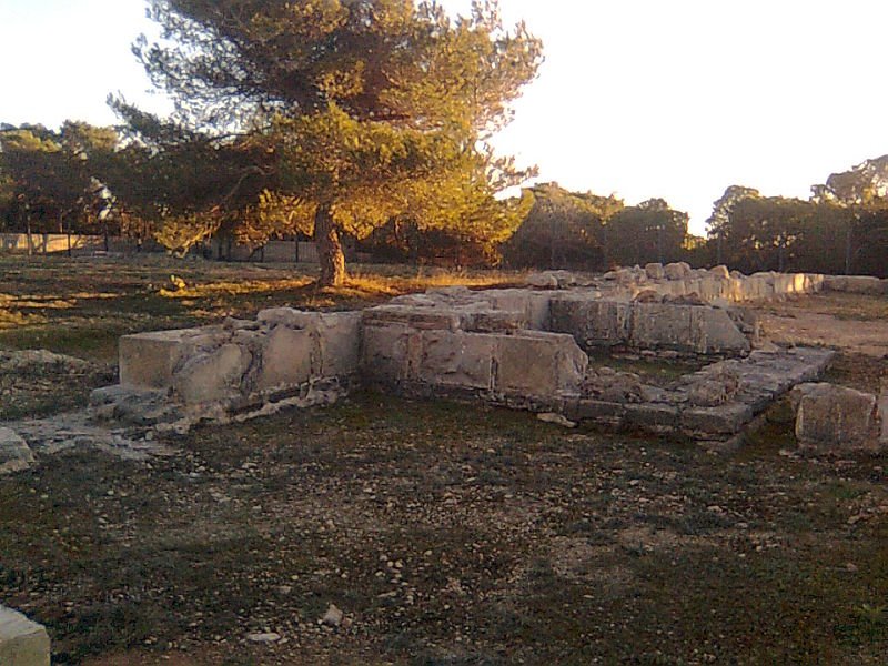

The Castellum de Can Blai is an archaeological site that was likely a fortress during the Roman Lower Empire. Located in the central area of the island of Formentera, the site is situated in the parish of Sant Ferran de ses Roques between the towns of Sant Ferran de ses Roques and el Caló de Sant Agustí.
The site occupies a high point on the isthmus connecting the Mola with the rest of the island, allowing for the control of the sea to both the north and south. Access is provided from the road leading from Savina to Mola at the 10th kilometer. Excavated in 1979 and 1980, the site is also mentioned in some bibliographies as can Pins, as it occupies land from that location in addition to can Blai.
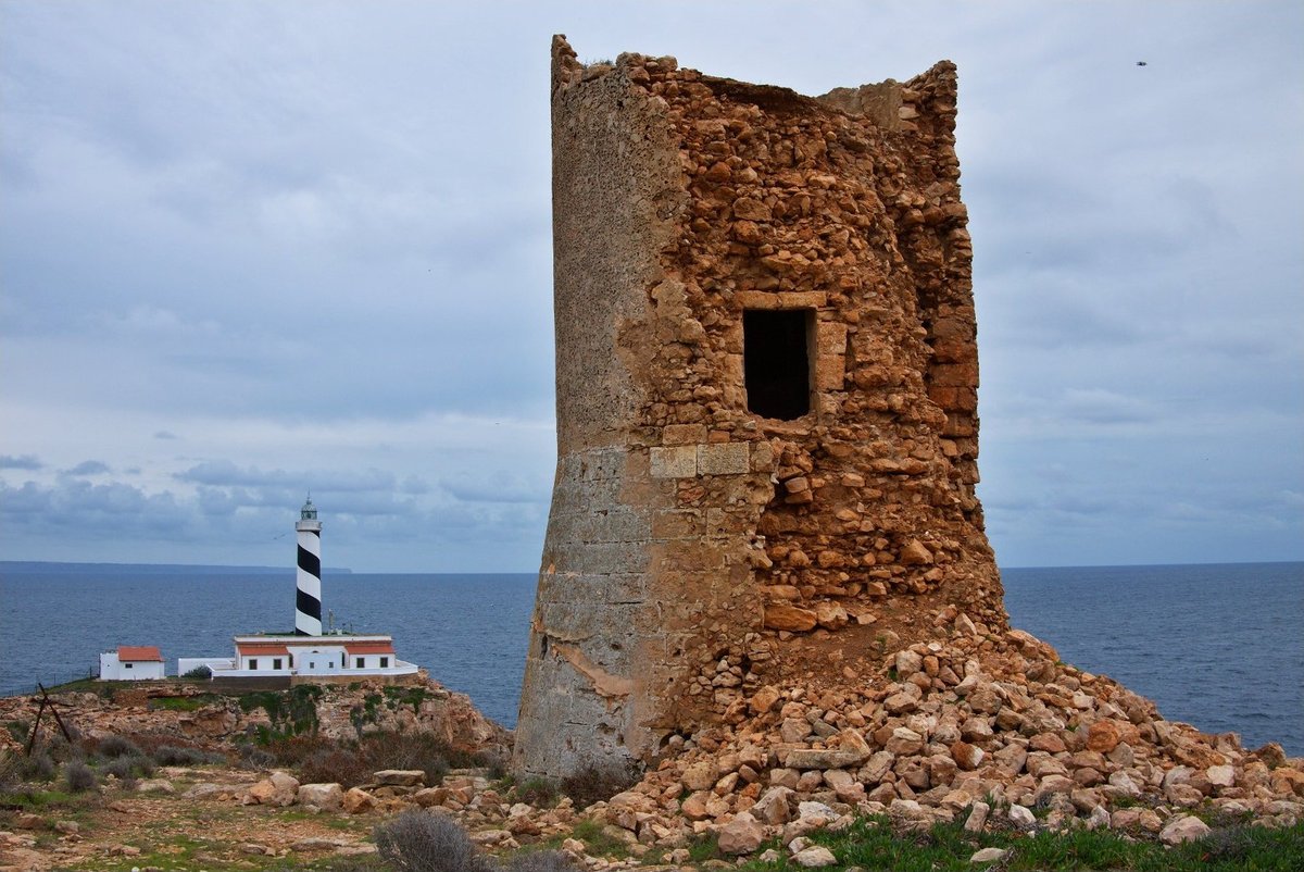
The fortification features a quadrangular plan measuring 40x40 meters with five towers. Four of these towers are located at the corners with irregular dimensions, while the fifth, smaller tower is placed only 5.50 meters from the corner tower. Construction analysis indicates that the walls were intended to protect nearby villages. The archaeological evidence suggests the structure may have been an unfinished work built with stones of medium size joined with lime mortar.
Sources: Wikipedia, OpenStreetMap, Wikidata, Wikimedia Commons
Written by Nicolo Ciampini
Discuss this with the author and others
No comments yet. Be the first to start the conversation.