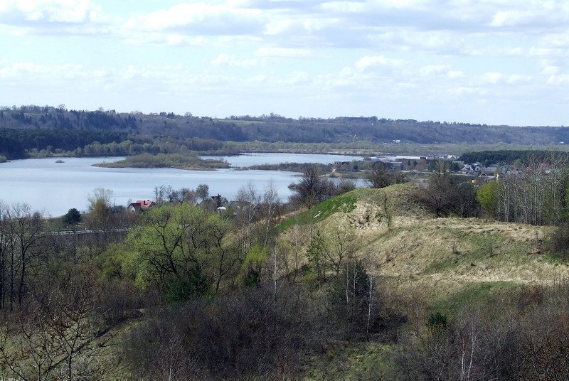

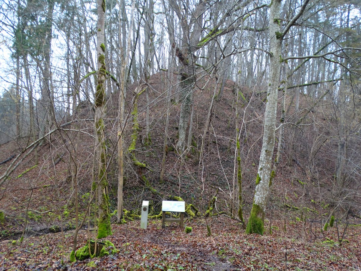
Veršvų piliakalnis is a hillfort and former settlement located in Veršvai, within the Kauno rajono municipality. The site is situated on a height on the right bank of the Nemunas River. It is accessible from the Islandia plieno žiedas near the IX fort, traveling towards Vilijampolė along the Žemaičių plentas and Baltų проспектas, situated about 300 m northwest of the northern side of the western bypass.
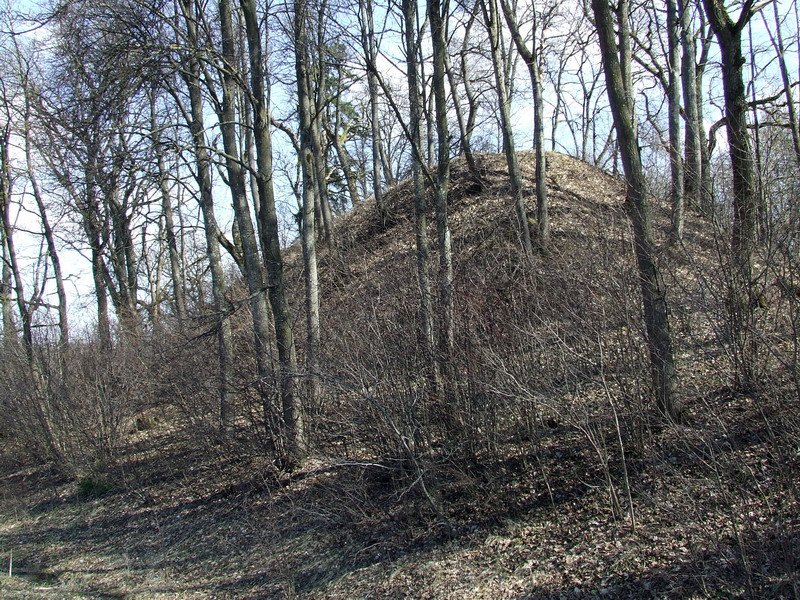
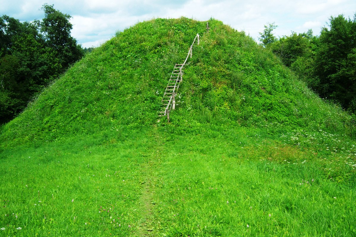
The hillfort features an almost rectangular, elongated courtyard measuring 12x9 m. On its eastern edge stands a 3.5 m high rampart, 20 m wide, with an outer slope of 5 m dropping into a 17 m wide, 2 m deep ditch. A terrace 3 m wide is located 2 m below the courtyard level. The slopes stand 37 m high, and the site is surrounded by juniper bushes and shrubs.
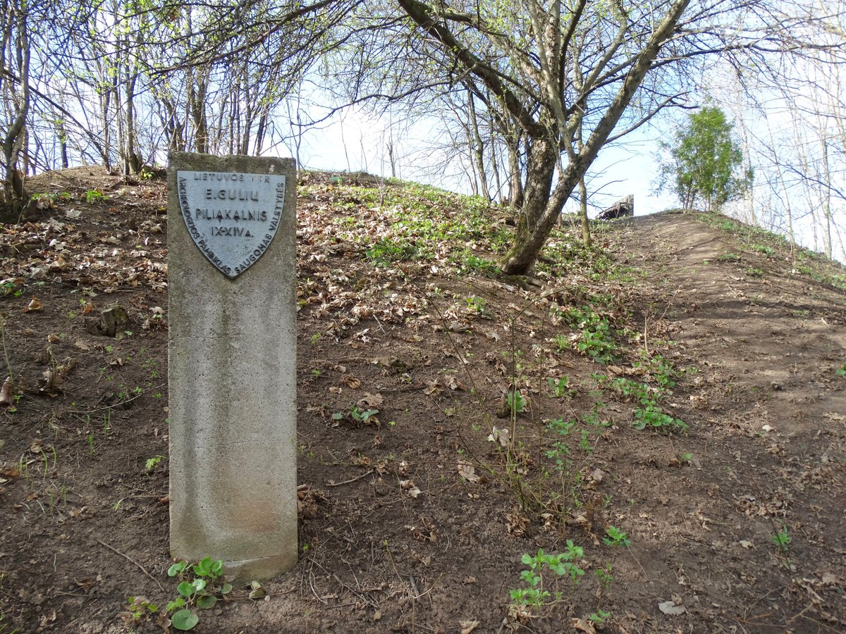
The site dates from the 1st millennium to the 14th century and was declared a cultural monument in 1998. Archaeological research in the 1980s uncovered a cultural layer from the 1st millennium BCE to the 14th century, containing post-holes, pottery, and remains of a smithy from the 18th to 19th centuries. Nearby, a village site from the 1st millennium BCE to the 13th century was investigated, where remains of buildings, querns, and iron axes were found before a portion was destroyed by the western bypass in 1986.
Sources: Wikipedia, OpenStreetMap, Wikidata, Wikimedia Commons




Written by Nicolo Ciampini
Discuss this with the author and others
No comments yet. Be the first to start the conversation.