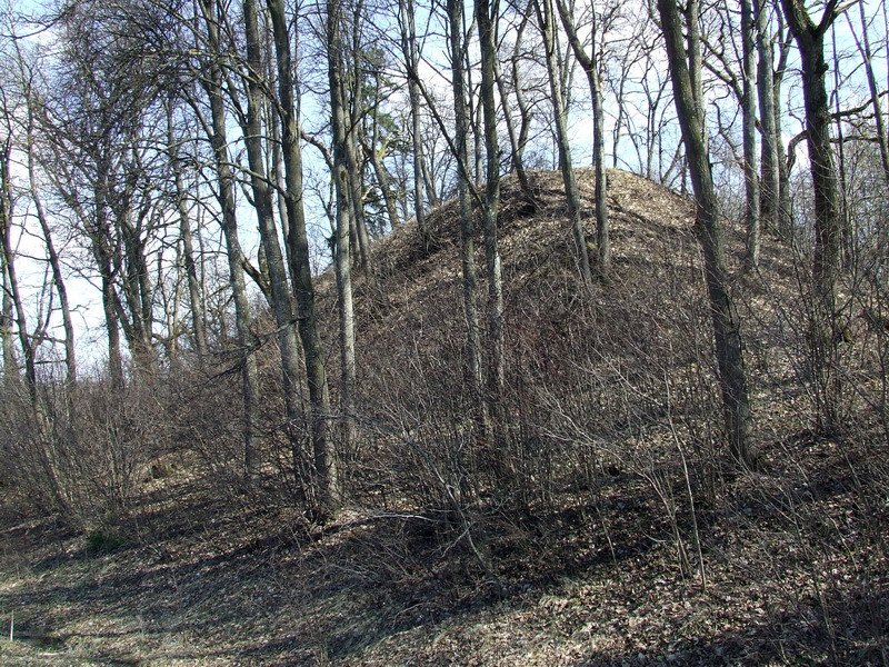

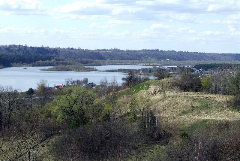
A rectangular clearing sits on the edge of the Nemunas river, oriented toward the southwest. It is 7 metres long and 13 metres wide. The site is dated to the first millennium - the beginning of the second millennium, with its appearance date determined by the žiedadulka research method.
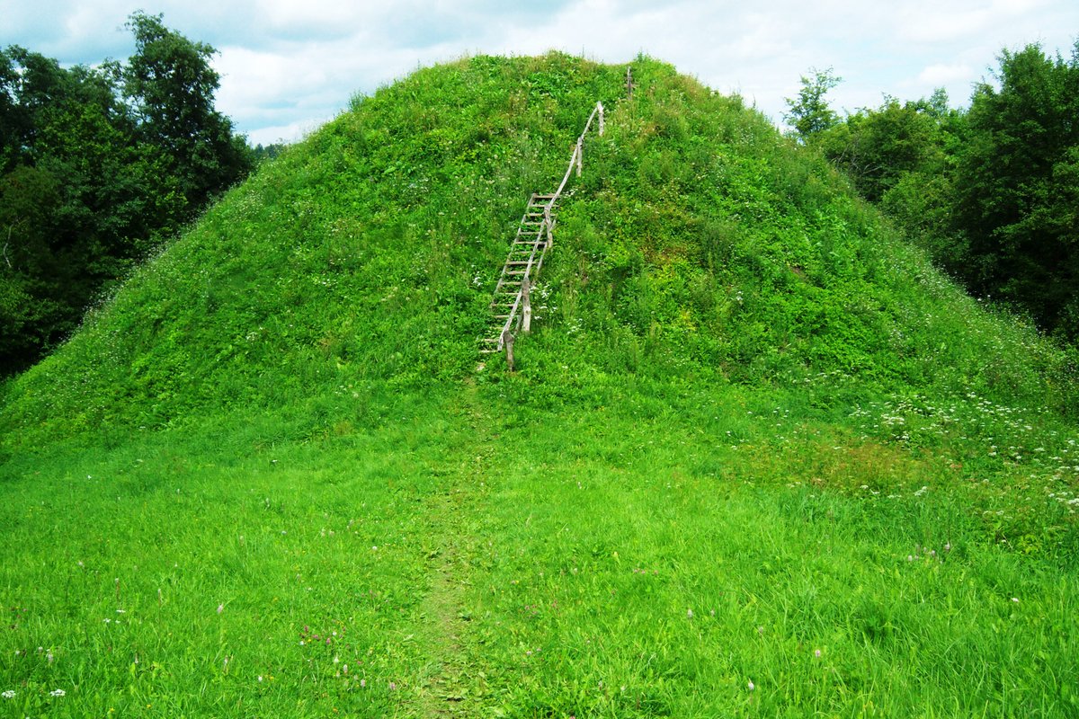
Defensive structures include a bank 3 metres high and 19 metres wide along the southern edge of the clearing, behind which was excavated a ditch 18 metres wide and 2 metres deep. The slopes reach heights of 17-20 metres. The northeastern part of the clearing has slipped over time, and the hillfort is currently surrounded by leafy trees.
About 1 km to the east are the Marvelės cemeteries from the 2nd to 13th centuries, which were researched between 1991 and 2002. A settlement once occupied the northern bank in the Nemunas valley until it was destroyed around 1986. The site also has a historical connection to 1941, when the leader of the Marva uprising against the Soviet occupation, D. Skrinius, died on the slope.
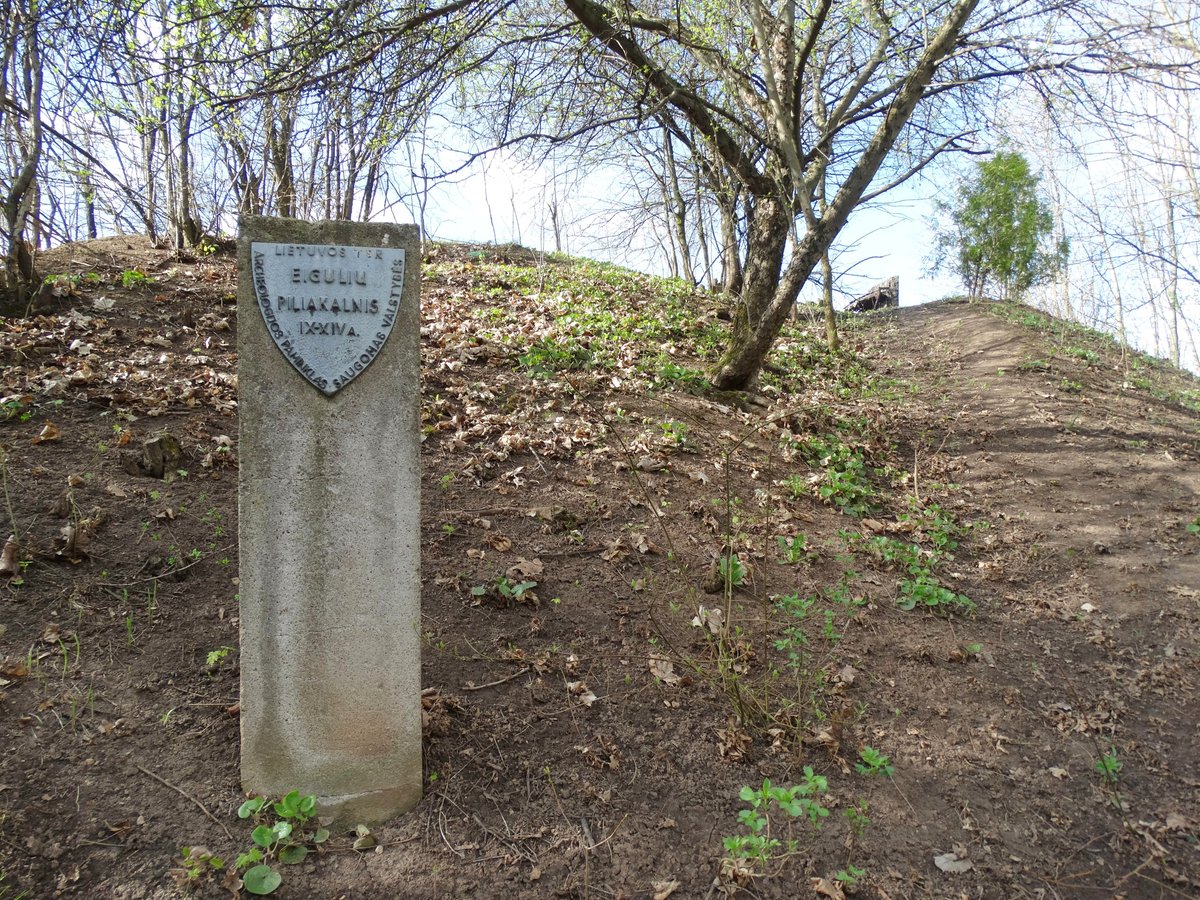
The site covers an area of 5,800 square metres and was declared a cultural monument in 1998. It is located in the Aleksota eldership of Kaunas, reachable from the western bypass.
Sources: Wikipedia, OpenStreetMap, Wikidata, Wikimedia Commons





Written by Nicolo Ciampini
Discuss this with the author and others
No comments yet. Be the first to start the conversation.