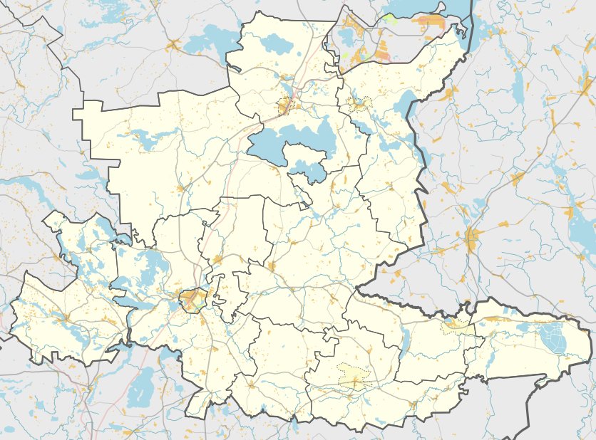

Garbšių piliakalnis, also known as Juodkalnis or Bažnyčios kalnas, is an archaeological site located in the village of Garbšiai, within the Kazitiškis eldership of Ignalina district. It is reached by turning into Garbšiai from the Kazitiškis - Švedriškė road and is situated in the western part of the village.
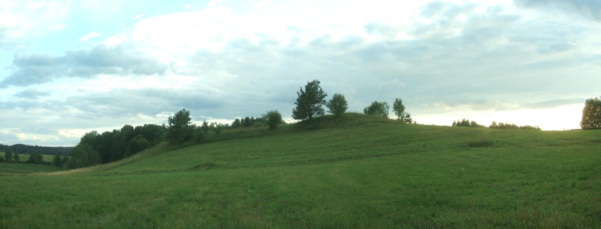
The site is built on a separate hill on the southwestern shore of Lake Sagardo. It features an oval courtyard, elongated in a north - south direction, measuring 80x15 meters. The slopes of the hill range from 6 to 15 meters in height and lead down into the lake.
Although the site was heavily damaged by arable farming, which destroyed the cultural layer, buildings were constructed on the east - southwest slope. Today, the site is ploughed, a mixed forest grows on the northern slope, and a homestead stands on the southwestern slope. The site is dated to the beginning of the 1st millennium.
Sources: Wikipedia, OpenStreetMap, Wikidata, Wikimedia Commons
Written by Nicolo Ciampini
Discuss this with the author and others
No comments yet. Be the first to start the conversation.