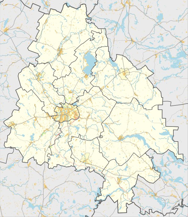

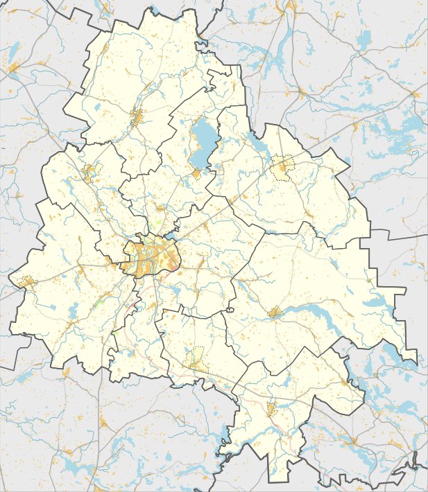
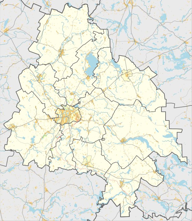
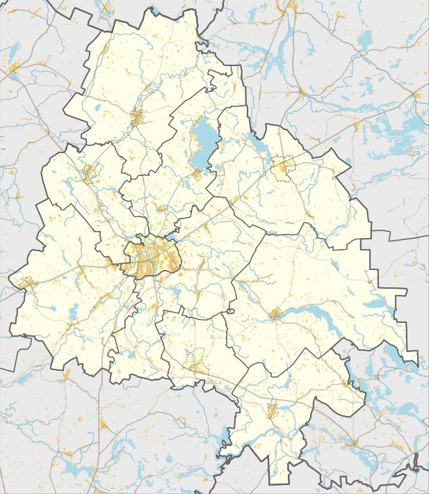
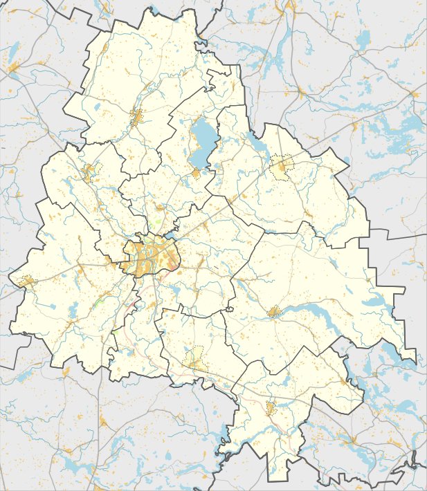
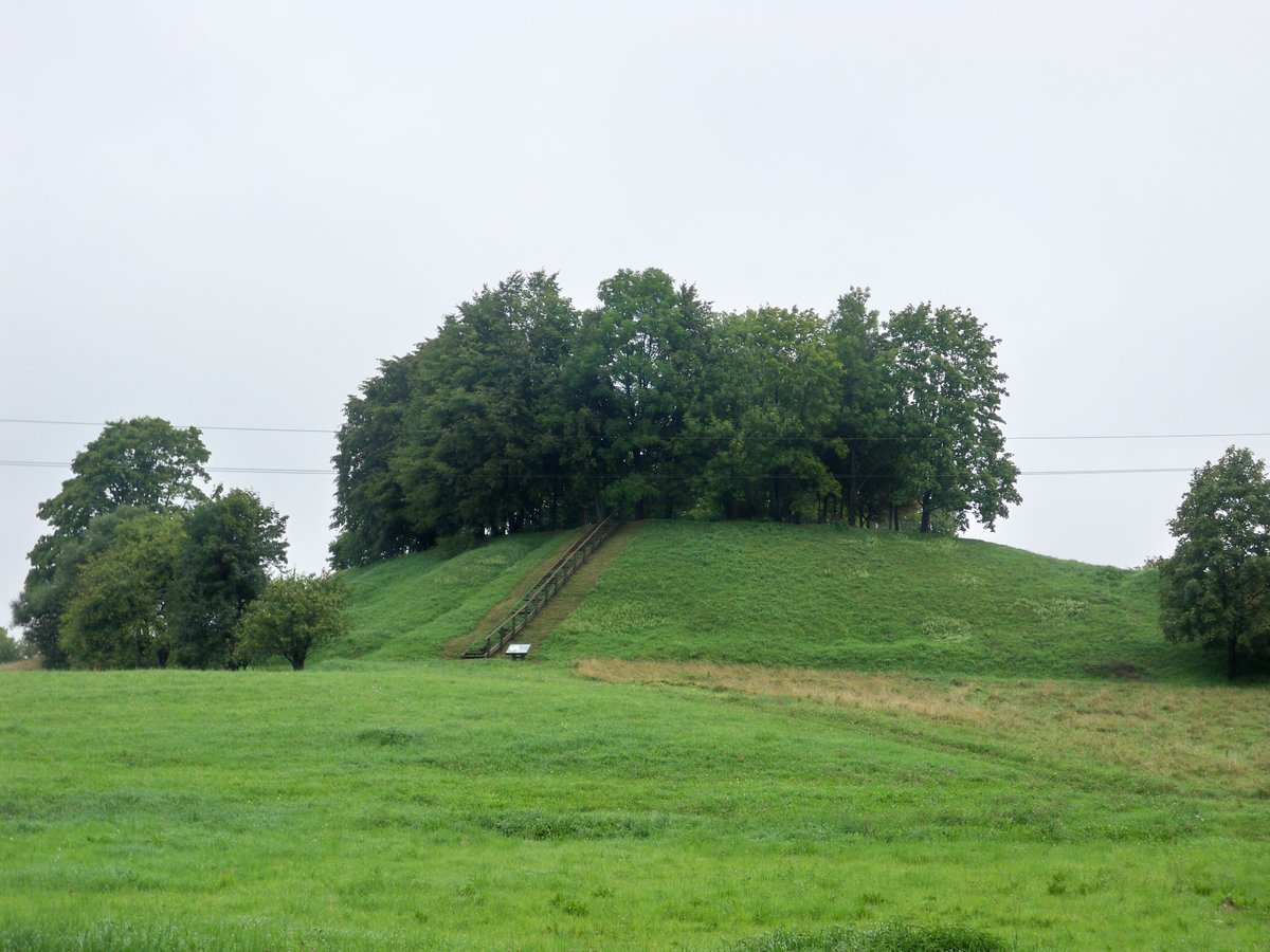
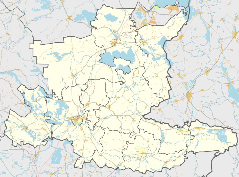
Gatelių piliakalnis is a hillfort located in the Utenos district, north of the Gateliai Daugailių eldership. To reach the site, one travels to the eastern part of Gateliai village, turns northwest for 900 m, then turns west for 450 m along a field path to a non-residential homestead, where the site is situated to the right, northwest.
The fortification is situated on a separate hill on the right bank of the Ilgės stream, 330 m southwest from the southwestern shore of Šiekštelio lake. The site features a rectangular courtyard measuring 25x17 m, elongated in an east-west direction. On its eastern edge, a trench 5 m wide and 1 m deep has been excavated.
Further down the eastern slope, 2 m below the courtyard, lies a terrace measuring 33x18 m. The eastern slope is steepened by embankments reaching 10 m in height. The hillfort is heavily overgrown with brush and pine trees, covering a total area of 1.4 hectares.
Sources: Wikipedia, OpenStreetMap, Wikidata, Wikimedia Commons
Written by Nicolo Ciampini
Discuss this with the author and others
No comments yet. Be the first to start the conversation.