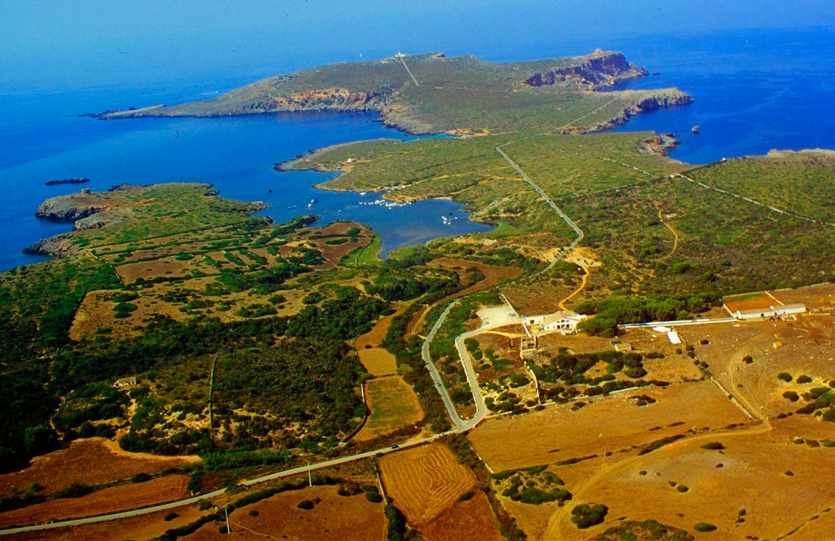

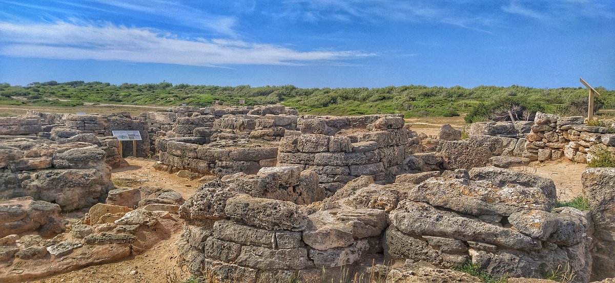
The remnants of Sanisera are nestled within the natural harbor of Sanitja. This strategic inlet on the northern coast of Menorca is shaped by a rocky arm and the island of Porros. Together, these features form a natural dike that shields the area from northern winds. Because of this geography, the site served as a vital military stronghold as early as 123 BC when the Roman army seized the Balearic Islands.
Identifying the precise location of Sanisera was a challenge. Although Pliny the Elder wrote about the city in the 1st century AD, later portolan charts from the 16th to 18th centuries offered only various name variations. Researchers have since identified the site by analyzing 18th-century writings describing pottery fragments and structures in the area, as well as local folklore. Since 1974, underwater sports activities have led to the recovery of a great number of amphorae dating from the 1st to the 4th centuries AD from the seabed, proving the presence of Roman ruins.
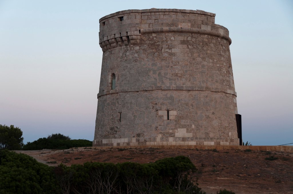
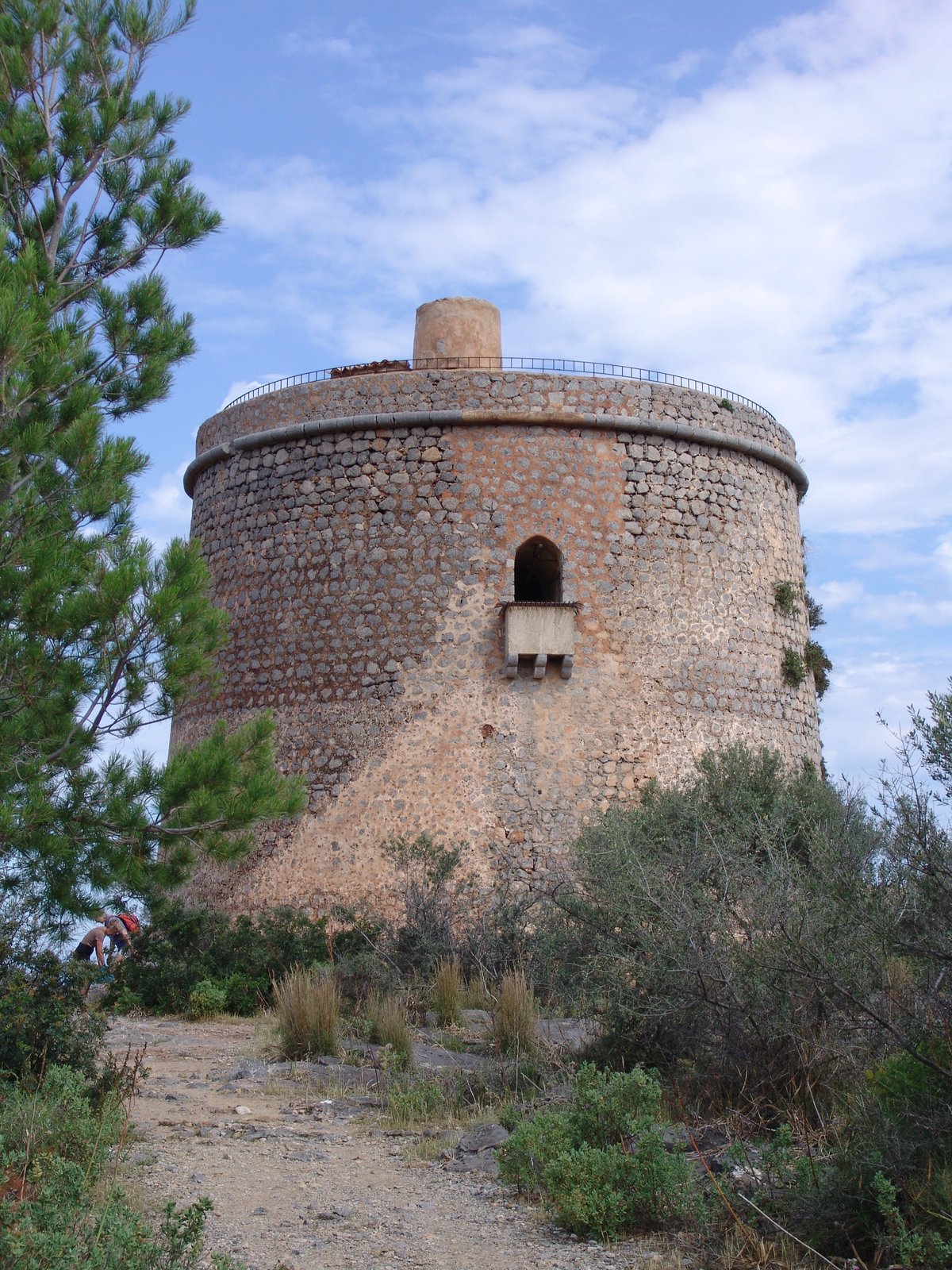
We are now in a position to continue exploring what this site has to offer. The area remains undeveloped, which preserves the integrity of ongoing archaeological research. Visitors can still observe the 19th-century English watchtower on the western sub-peninsula and the 18th-century fishermen's shelter known as S’Almadrava on the eastern side. While work continues to unearth the Roman remains, the site stays an open part of the Cap de Cavalleria landscape.
Sources: Wikipedia, OpenStreetMap, Wikidata, Wikimedia Commons
Written by Nik Frost
Discuss this with the author and others
No comments yet. Be the first to start the conversation.