
In 1777, a man named Cristòfol Vilella Amengual bought a slice of land from the Reial Patrimoni, the royal estate that then owned the Castell de Bellver, and built himself a country house called Can Vileta. It is believed that his interest in living away from the city was due to the shame caused by his trade as a taxidermist.
That is roughly where El Terreno starts. The name itself appears on the map engraved by Josep Muntaner in 1784. It comes from the fact that these lands were part of the Reial Patrimoni, which were parcelled and urbanised from the end of the eighteenth century throughout the nineteenth. The Natzaret school stands on the site of the house of Cardinal Despuig, which was called el Terreno and gave the district its name.
In the seventeenth century, the site held a quarantine station. The formal plan to turn it into a summer district began in 1855 but could not be fully completed because parts of the land were of military interest due to proximity to the Castell de Bellver. Even so, during the 1880s, it was an important summer resort for Palma. Houses were initially single-storey or low-rise, often with gardens, and because the terrain slopes toward the sea, most had a view of the water. The parish church, La Salut, was built in 1894. In 1895, a novel described the neighborhood as a place of reception on the route from the city to the Castle of Bellver.
Then came height. The Hotel Reina Victoria opened in 1910 and the Mediterrània in 1923 - the first buildings to break the low skyline. When Son Armadans was developed in 1932, the district was physically joined to Palma and turned residential. From 1930, with the military restrictions lifted, growth accelerated. Due to a lack of municipal control in the urban plan, especially during the dictatorship, some original houses were destroyed to build high-rise blocks. The Passeig Marítim finished the transformation along the shoreline, leaving only the cove of Can Barbarà, where the Torrent del Mal Pas reaches the sea, unchanged.
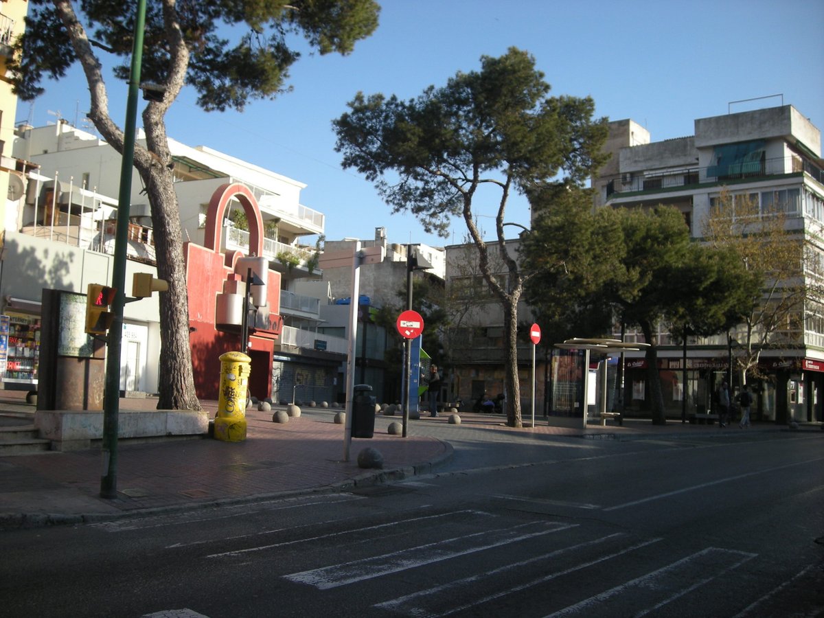
Where the roads to Gènova and Portopí met - now Carrer Robert Graves and Carrer Joan Miró - sits Plaça Gomila, which became an elegant center of leisure with well-known dance halls such as Tito's, Barbarela, and the Zhivago. Of these three, only Tito's remains open to the public.
The neighbourhood was never purely seasonal. Year-round residents organised themselves - the Societat Bellver was one such neighbours' association, which disappeared after the coup of General Franco. Life here ran in two directions: down to the water, and up into the Bellver woods, which remain the green lung of Palma.
What is left of Vilella's house is a gatehouse with a date and a royal coat of arms at the end of Carrer de Son Catlaret, which is in a poor state of conservation. The man's name has been given to a small alley running off Carrer del Polvorí towards the Torrent del Mal Pas.
Sources: OpenStreetMap, Wikidata, Wikipedia
Written by Nik Frost
Discuss this with the author and others
No comments yet. Be the first to start the conversation.