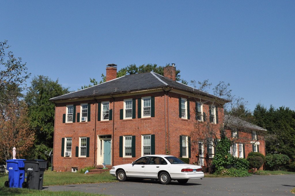
Melrose sits in northeastern East Windsor. It is where Broad Brook Road meets Melrose Road. Land use patterns in this area are relatively little changed from the 19th century, with houses set relatively near the road and agricultural lands in strips behind them.
Settlers arrived in the early 18th century. They were Scots and Irish. They called the area "Irish Row" for a time. They started with subsistence farming. Then tobacco developed as a major cash crop in the 19th century and remained a significant force in the local economy into the 20th century.
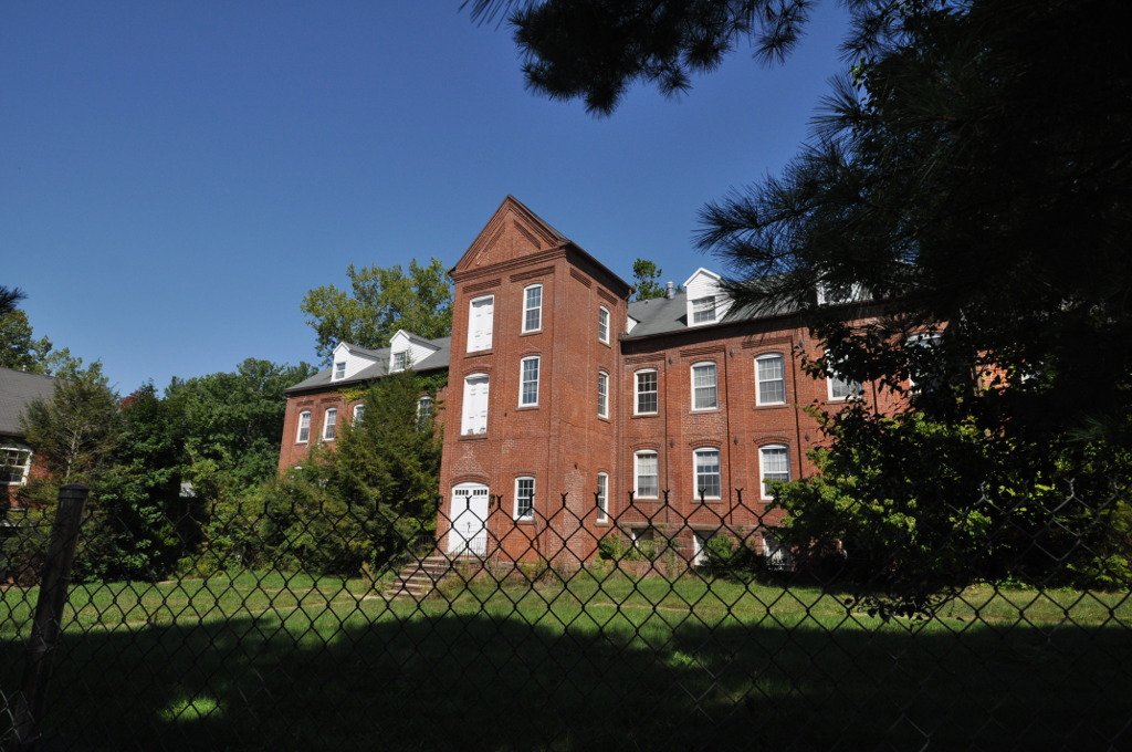
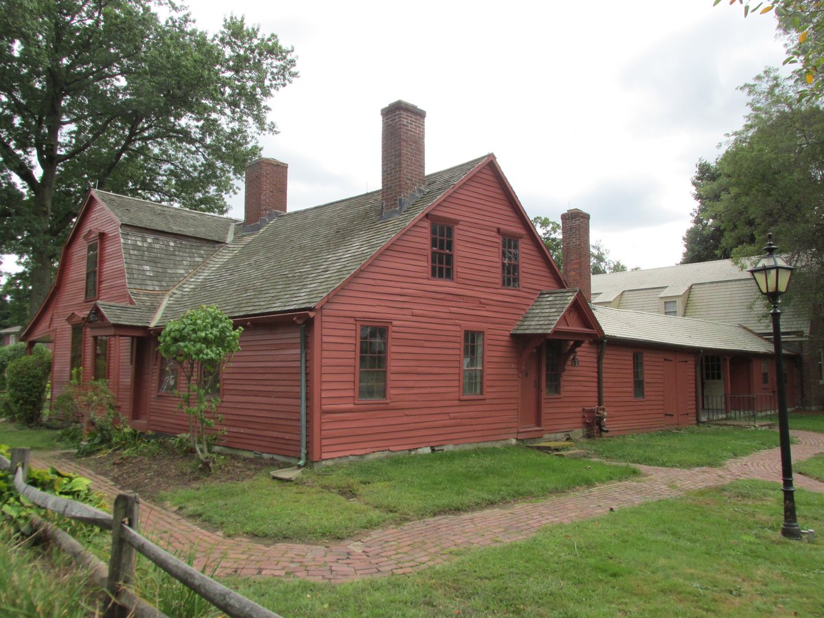
Agriculture shaped the area's buildings. There are numerous barns and other farm outbuildings, many dating to the late 19th or early 20th century, with a cross-section of older barns as well. Ruins of a small distillery sit on the banks of Broad Brook at the southern edge of the area.
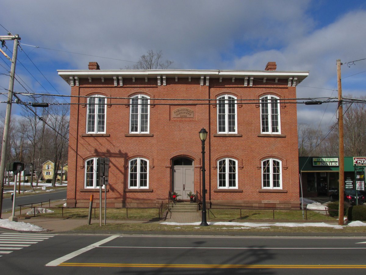
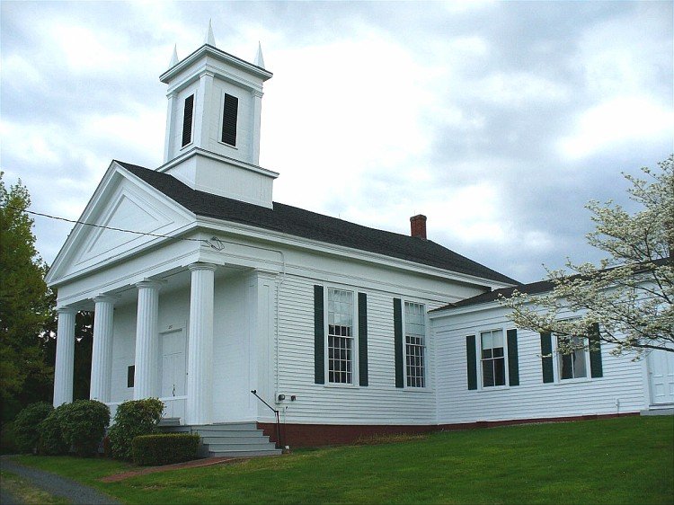
An 1850 schoolhouse still stands. It served the town until 1938, after which it was adapted for use as a library. Over 250 acres of the village center, including farmland, period farmhouses, and the distillery ruins, were listed on the National Register of Historic Places in 2010.
Sources: Wikipedia, OpenStreetMap, Wikidata, Wikimedia Commons
Written by Leroy
Discuss this with the author and others
No comments yet. Be the first to start the conversation.