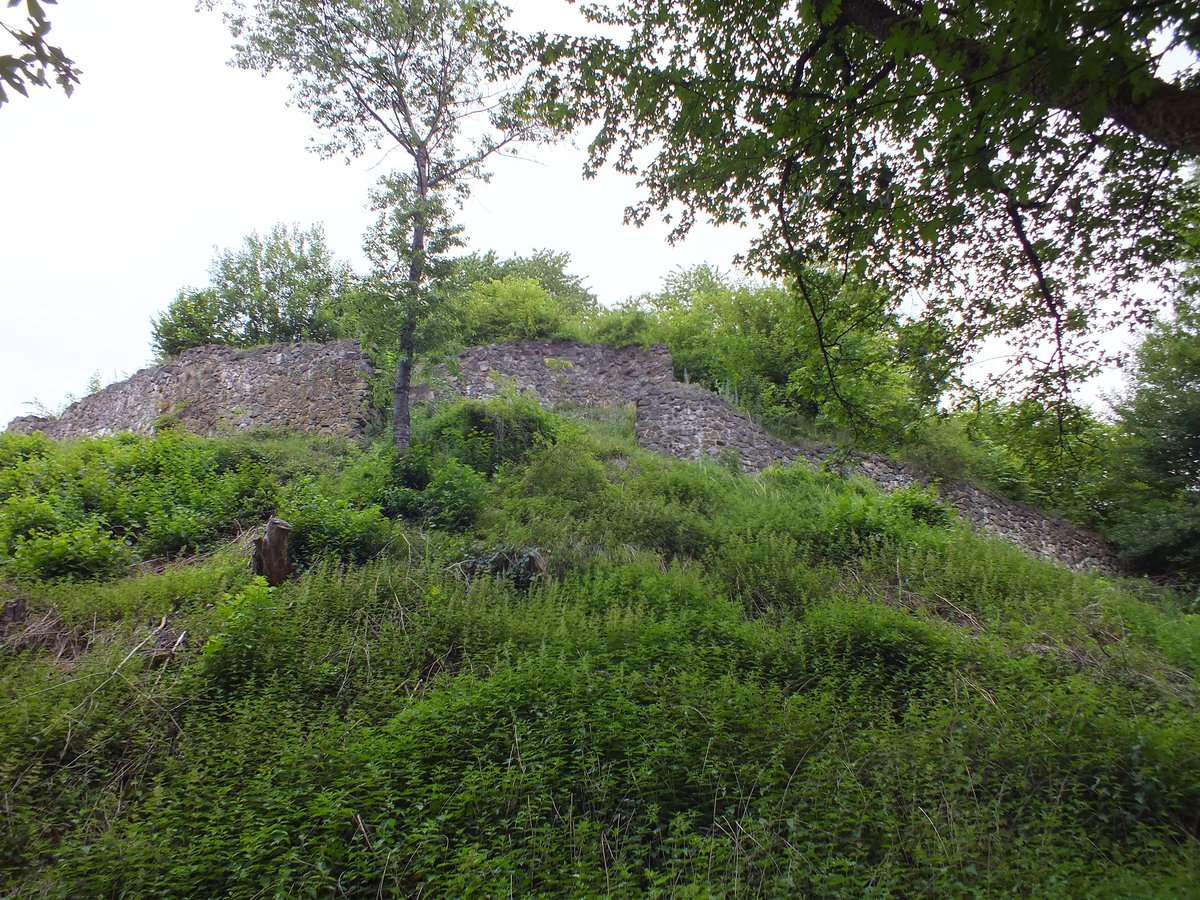
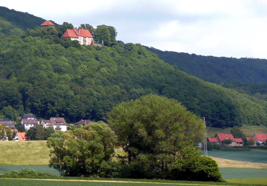
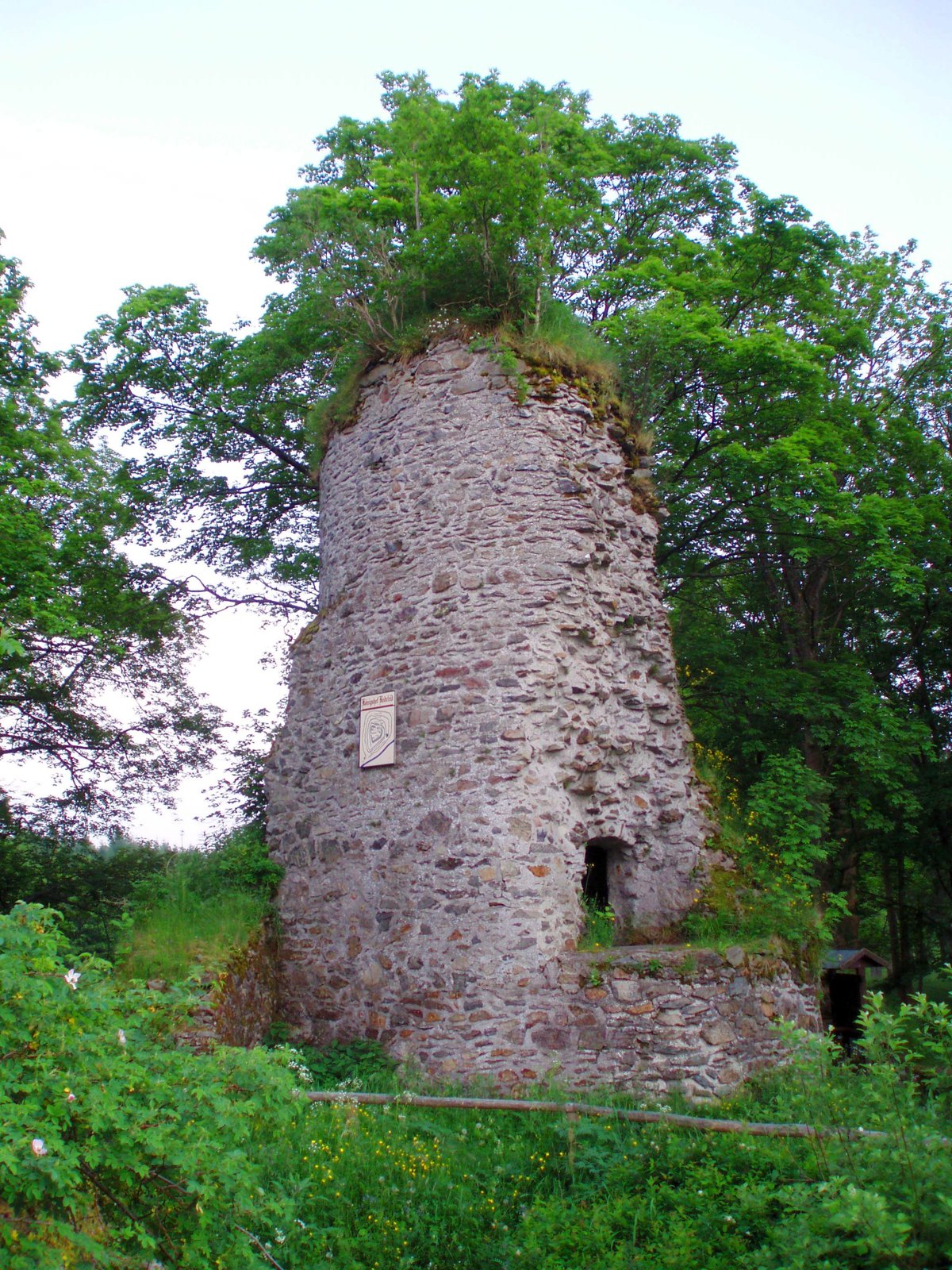
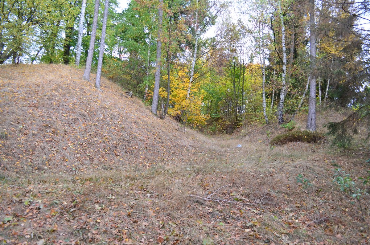
The Schauenburg rests atop a basalt cone, a peak with an elevation of 499.9 m ü. NHN. Erected between 600 and 800 AD, these ramparts likely served as a residence and a place of refuge, potentially forming part of the border fortifications against the Saxons.
Records from 1089 note Scouwenburg and Count Adalbert von Scouwenburg in a deed of gift from the monastery of Helmarshausen. The Counts of Schauenburg held the high court of Ditmelle during the late 11th century and derived their title of Count from the ownership of that court. The County of Schauenburg was likely worn down by conflicts between the Landgraviate of Thuringia and the Archbishopric of Mainz. Following the extinction of the male line of the Counts of Schauenburg with Count Berthold in 1252, ownership drifted from noble blood to the knight Hermann Hund von Holzhausen and later to the Lords of Dalwigk.
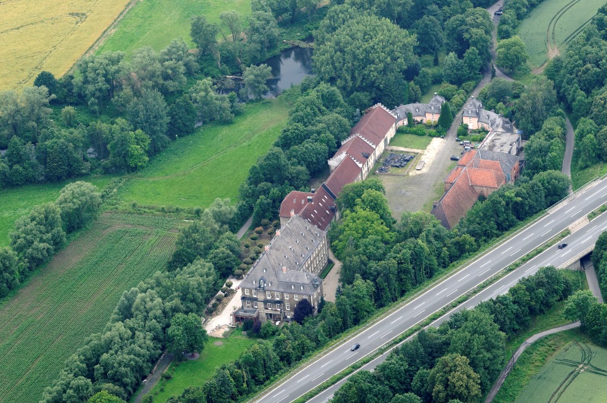
Near these ruins, the Lords of Dalwigk built 'daz nuwe hus' at the foot of the castle during the 14th century. This building was called 'im Hobe' in 1366, and the village of Hoof began with its construction. By 1543, the castle was likely ruined and used as a quarry.
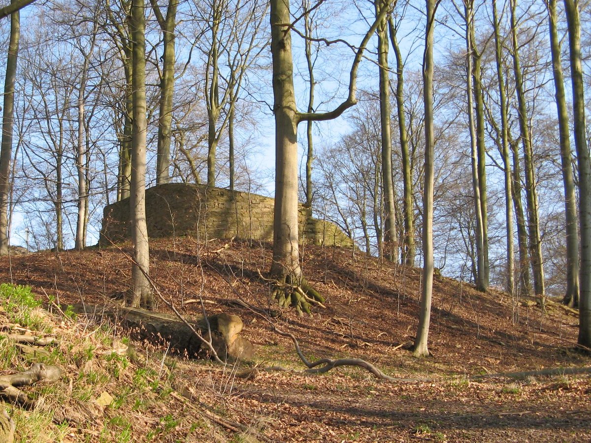
Since 1989, the municipality of Schauenburg and the Habichtswald Nature Park have worked to secure the remains. Walls and vaulted cellars still exist today, though they are poorly accessible due to the overgrowth and forestation of the hill.
Sources: Wikipedia, OpenStreetMap, Wikidata, Wikimedia Commons
Written by Aurora
Discuss this with the author and others
No comments yet. Be the first to start the conversation.