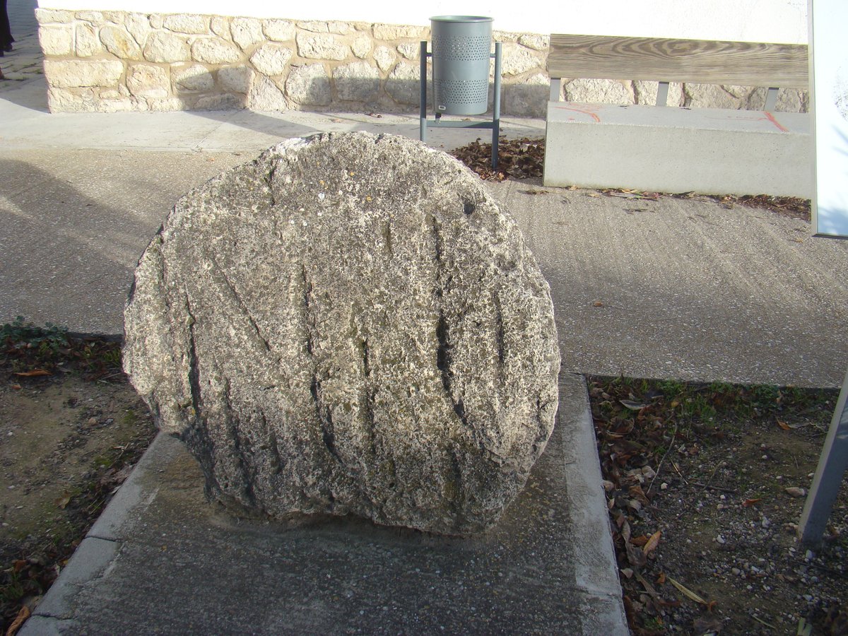

The archaeological site of Zorita-Las Quintanas is located on the left bank of the river Pisuerga, occupying a large area within one of the wide meanders formed by the river's course in the municipality of Valoria la Buena, Valladolid. The site was declared a cultural landmark on 14 July 2011, protecting the complex of sites that includes Zorita, Las Quintanas, and the abandoned villages of Galleta.
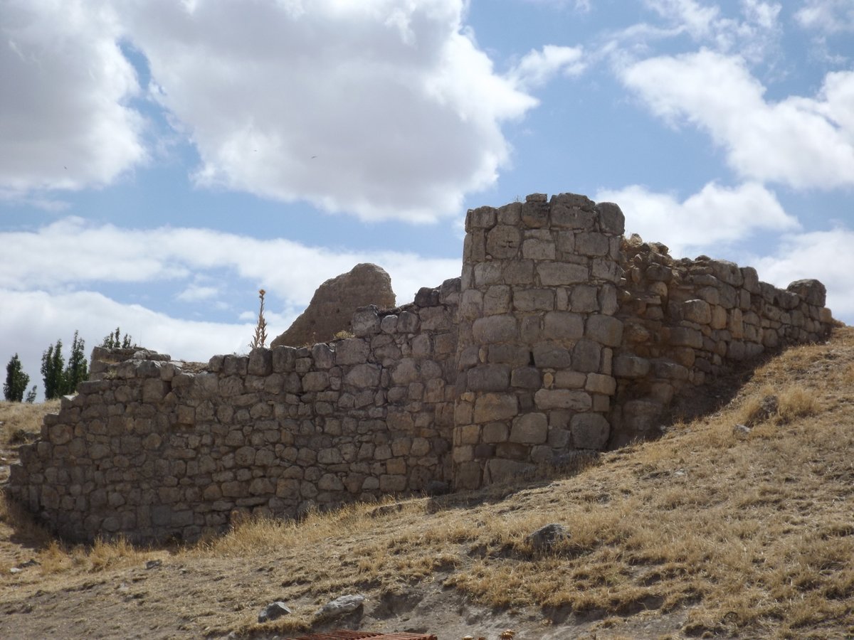
In the Zorita nucleus, situated at the confluence of the Arroyo de Zorita and the river Pisuerga, the habitat of the Primera Edad del Hierro was established on an elevation. The systematic superposition of structures, including dwellings, resulted in an artificial hill over 5 meters high. The settlement's triangular plan was delimited to the west by a sharp river cut, while other sides featured deep slopes. The third flank was artificially protected by a powerful wall, possibly preceded by two outer walls.
During the Segunda Edad del Hierro, the Las Quintanas city was built on a flat surface protected by a wall and a ditch up to 20 meters wide. Aerial photography revealed an urban layout of streets forming blocks of about 30 meters per side. Outside the walls, there were urban waste areas and possibly a cemetery. The Veccho oppidum of Las Quintanas was eventually abandoned, not to be occupied again until the Middle Ages.
Sources: Wikipedia, OpenStreetMap, Wikidata, Wikimedia Commons
Written by Nicolo Ciampini
Discuss this with the author and others
No comments yet. Be the first to start the conversation.