
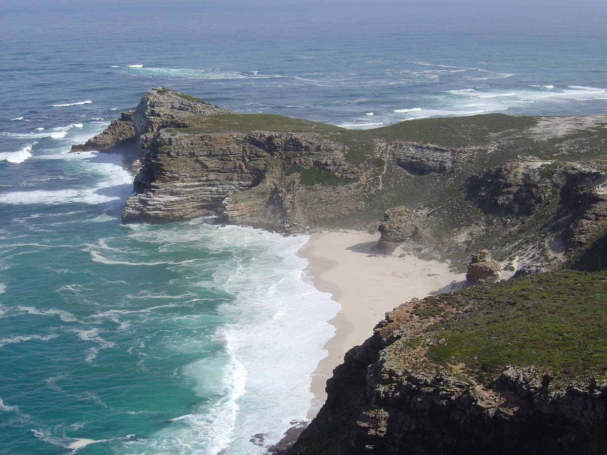
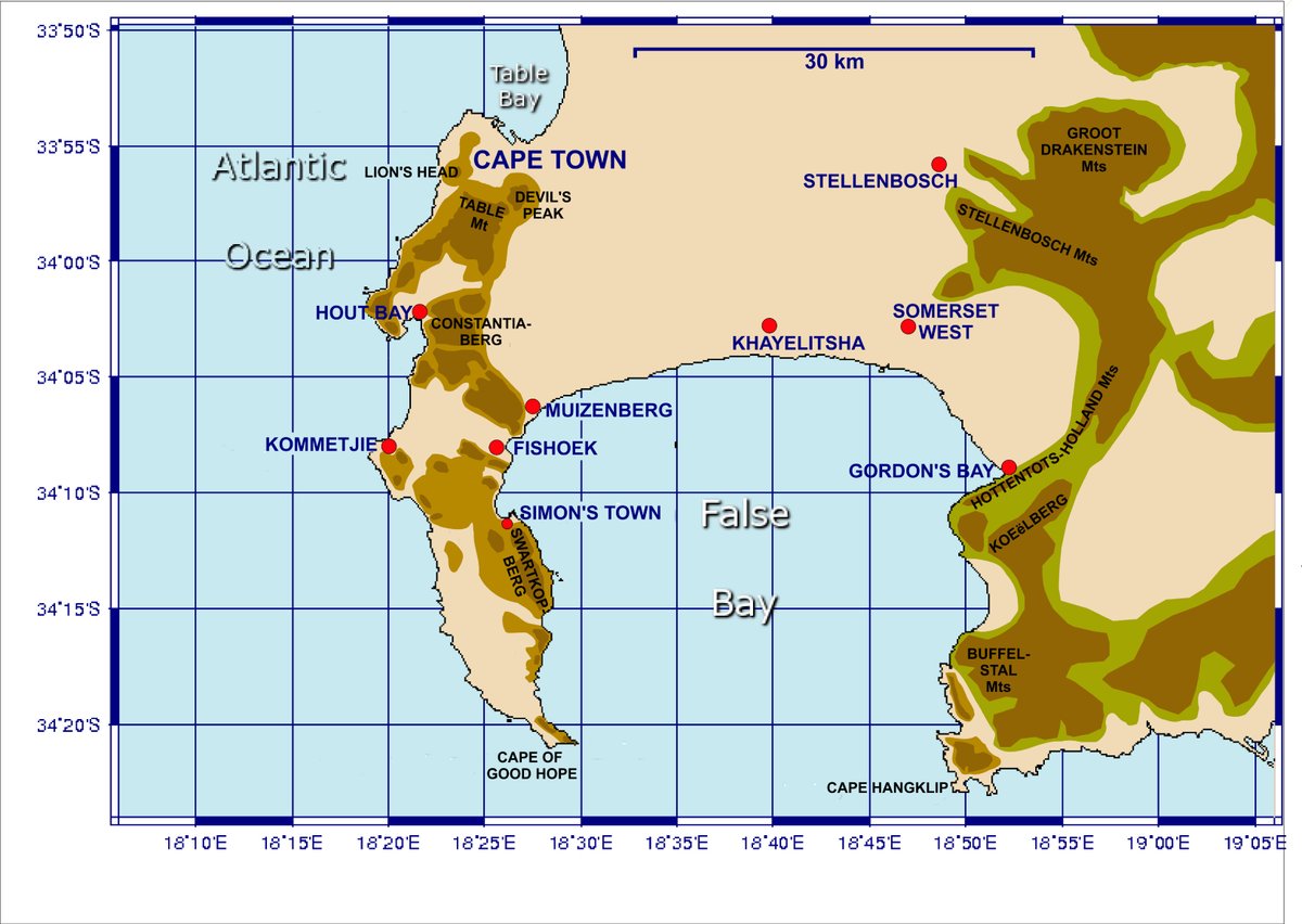
Cape Agulhas is a rocky headland that serves as the southernmost point of South Africa and the geographic southern tip of the African continent. It is located 170 kilometres southeast of Cape Town in the Overberg region. The cape was named by Portuguese navigators, who called it Cabo das Agulhas - Portuguese for "Cape of Needles" - after noticing that around the year 1500, the direction of magnetic north coincided with true north in the region. It was first bypassed in 1488 by the Portuguese Bartolomeu Dias to establish direct trade relations with the Far East.
South of the cape, the warm Agulhas Current flows south along the east coast of Africa and retroflects back into the Indian Ocean. While retroflecting, it pinches off large ocean eddies, known as Agulhas rings, that drift into the South Atlantic Ocean carrying enormous amounts of heat and salt. This mechanism is one of the key elements in the global conveyor belt circulation of heat and salt. The waters of the Agulhas Bank off the coast are relatively shallow and are renowned as one of the best fishing grounds in South Africa.
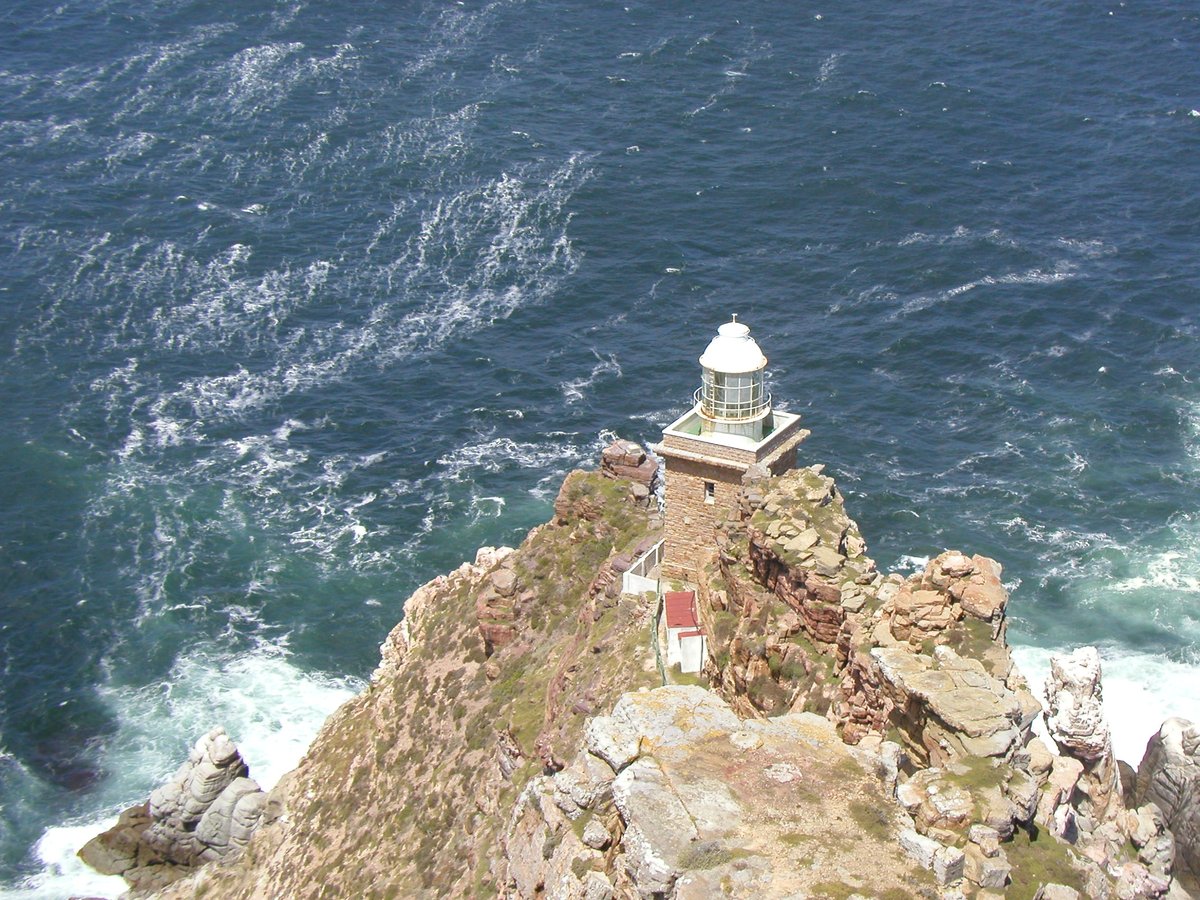
The sea off Cape Agulhas is notorious for winter storms and significant rogue waves which can range up to 30 metres high. These conditions are caused by the Roaring Forties winds and the cold Antarctic Circumpolar Current meeting the warmer Agulhas Current. Because of these hazards, a lighthouse was built in 1848 following the loss of several vessels. The lighthouse now houses a museum and a small rustic restaurant.
Sources: Wikipedia, OpenStreetMap, Wikidata, Wikimedia Commons
Written by Mutabor
Discuss this with the author and others
No comments yet. Be the first to start the conversation.