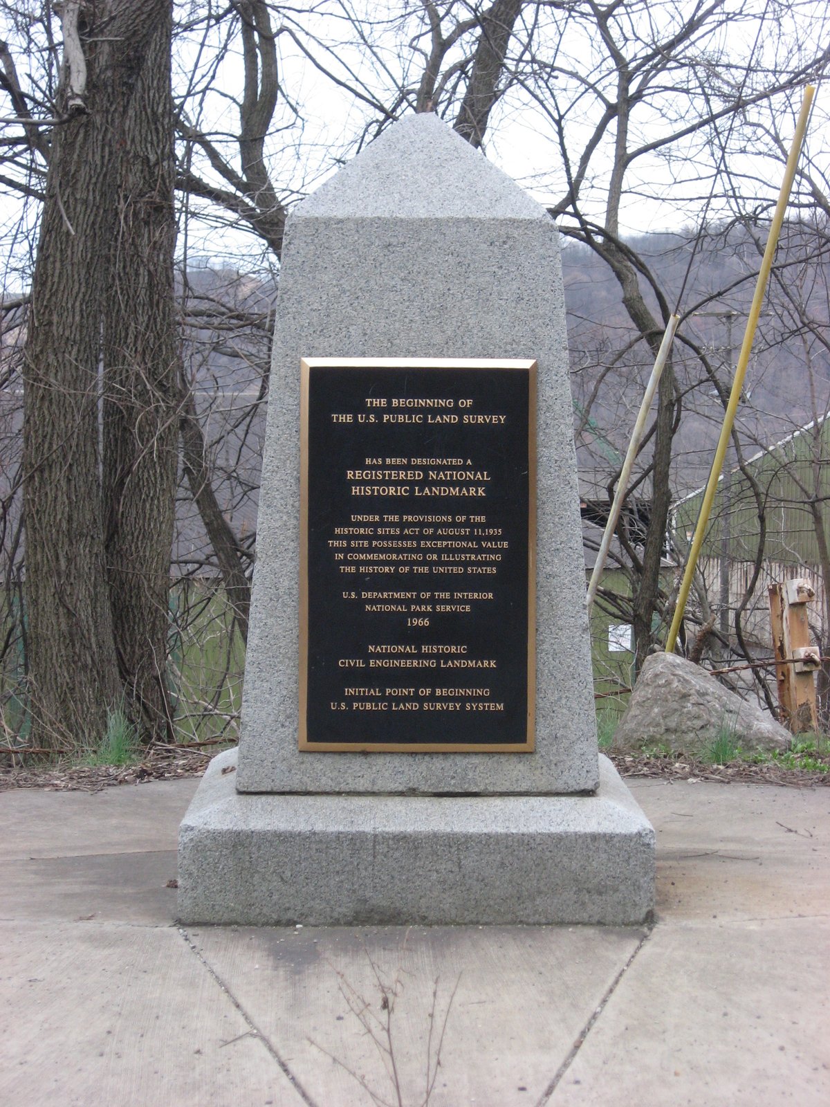

The 'Submerged Stone' - the starting point for the formal survey of what later became U.S. public lands, including parts of Ohio, Indiana, Illinois, Michigan, Wisconsin, and Minnesota, is now underwater. The monument that honors this significant spot stands near the roadway and lays right on the state line between East Liverpool, Ohio, and Ohioville, Pennsylvania. The area was designated a National Historic Landmark in 1965. The marker inscribed, '1,112 feet south of this spot was the point of beginning for surveying the Public Lands of the United States.
The Public Land Survey System of the United States, established by Congressional legislation in 1785, aimed to provide an orderly mechanism for opening the Northwest Territory for settlement. Thomas Hutchins, the Geographer of the United States, took charge of surveying an initial east-west base line in 1786. He used a stake on the north bank of the Ohio River as his starting point, a location set by a 1785 survey team.
Sources: Wikipedia, OpenStreetMap, Wikidata, Wikimedia Commons
Written by Friendly Jane
Discuss this with the author and others
No comments yet. Be the first to start the conversation.