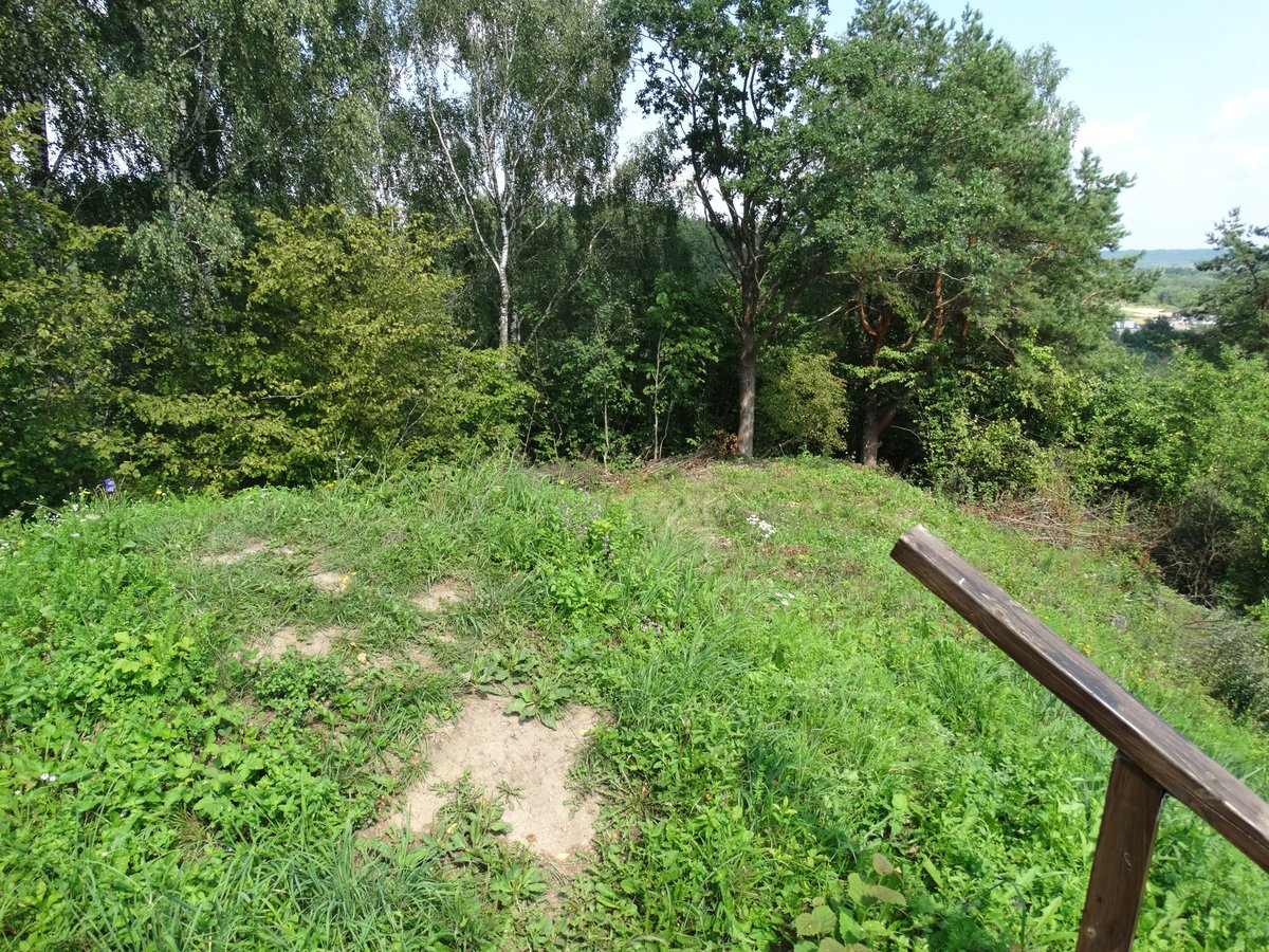

Located in the village of Lepšiškiai within the Kauno rajono savivaldybės, the Lepšiškiai Hillfort is a prominent archaeological site. Accessible from road 232 Vilijampolė - Žeimiai - Šėta, the fort can be reached by following a signpost from the bus stop, passing through a tree alley and the Masteikių kaimo daugiabučius. In 2018, the site was marked with signs and equipped with stairs and benches for visitors.
The hillfort is situated on a high terrace of the right bank of the Neris river. It features an oval courtyard measuring 15x7 meters, oriented from the northeast to the southwest. At the southwest end of the courtyard stands a plow-shaped embankment 2.8 meters high and 11 meters wide, with an outer slope 4 meters high descending into a 4-meter wide trench 0.8 meters deep. The courtyard slopes reach heights of up to 23 meters. The fort is surrounded by bushes, the embankment is cleared, and a small cellar-storehouse is built on its outer side. Dated to the first millennium - beginning of the second millennium, the site was recognized as a state-protected monument in 2005.
About 250 meters southwest of the fort lies a settlement known as Ginėnų, covering 0.5 hectares. This site contains smooth, coarse, and rough ceramics and was entered into the Register of Cultural Values in 2009. Further away, 450 meters to the south, are the Masteikių burial grounds, which were excavated in 1993 - 1994 and date from the 12th to the 17th centuries.
Sources: Wikipedia, OpenStreetMap, Wikidata, Wikimedia Commons
Written by Nicolo Ciampini
Discuss this with the author and others
No comments yet. Be the first to start the conversation.