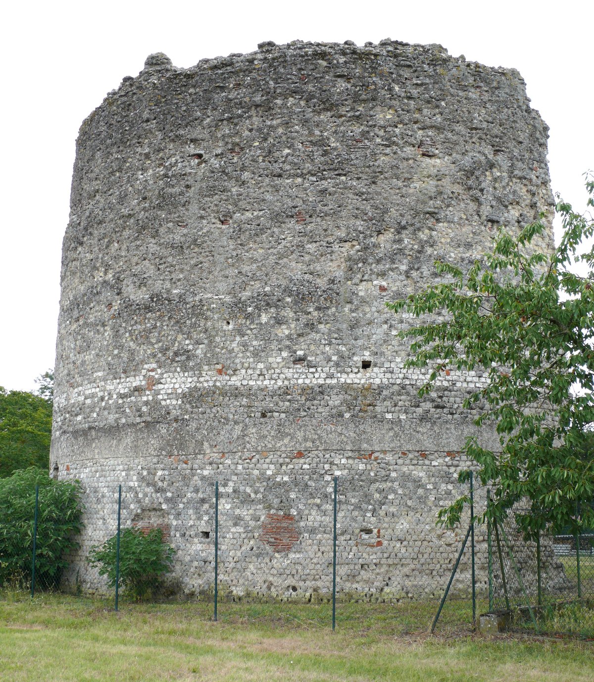

The monumental core of Excisum, a Roman city built between the reigns of Tiberius and Hadrian, is located at a strategic crossroads between Bordeaux and Cahors. Located in the Lot-et-Garonne department, the site was occupied as early as the 2nd century BC. The city was situated at the intersection of two major routes: one linking Agen and Périgueux to Argenton-sur-Creuse, and another connecting Cahors to Bordeaux. The name of the city appears on the Table of Peutinger and the Itineraries of Antoninus.
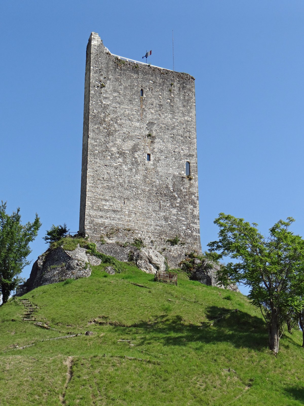
At the center of the settlement is a monumental ensemble featuring a circular tower. This structure, built with small stones, has a wall thickness of 1.1 metres, an interior diameter of about 11 metres, and a remaining height of approximately 10 metres. While some researchers have proposed it was a fanum, excavations have revealed the nearby apse of a curia where magistrates met. This building was surrounded by galleries of shops surrounding a courtyard with a temple dedicated to Mars at its center. The complex included north and south pavilions and a forum ending in an exedra. It was one of the ten largest sanctuaries in Roman Gaul.
The city occupied an area of 50 hectares and began to decline during the 3rd century, likely following the first Germanic invasions. Archaeologists have uncovered a closed midden from the Flavian period containing over a hundred military objects, including horse harnesses and infantry weapons. While these finds suggest a military presence, no actual legionary camp has been discovered on site. Theories suggest the site may have housed a small garrison, a station for the cursus publicus, or workshops for producing military equipment.
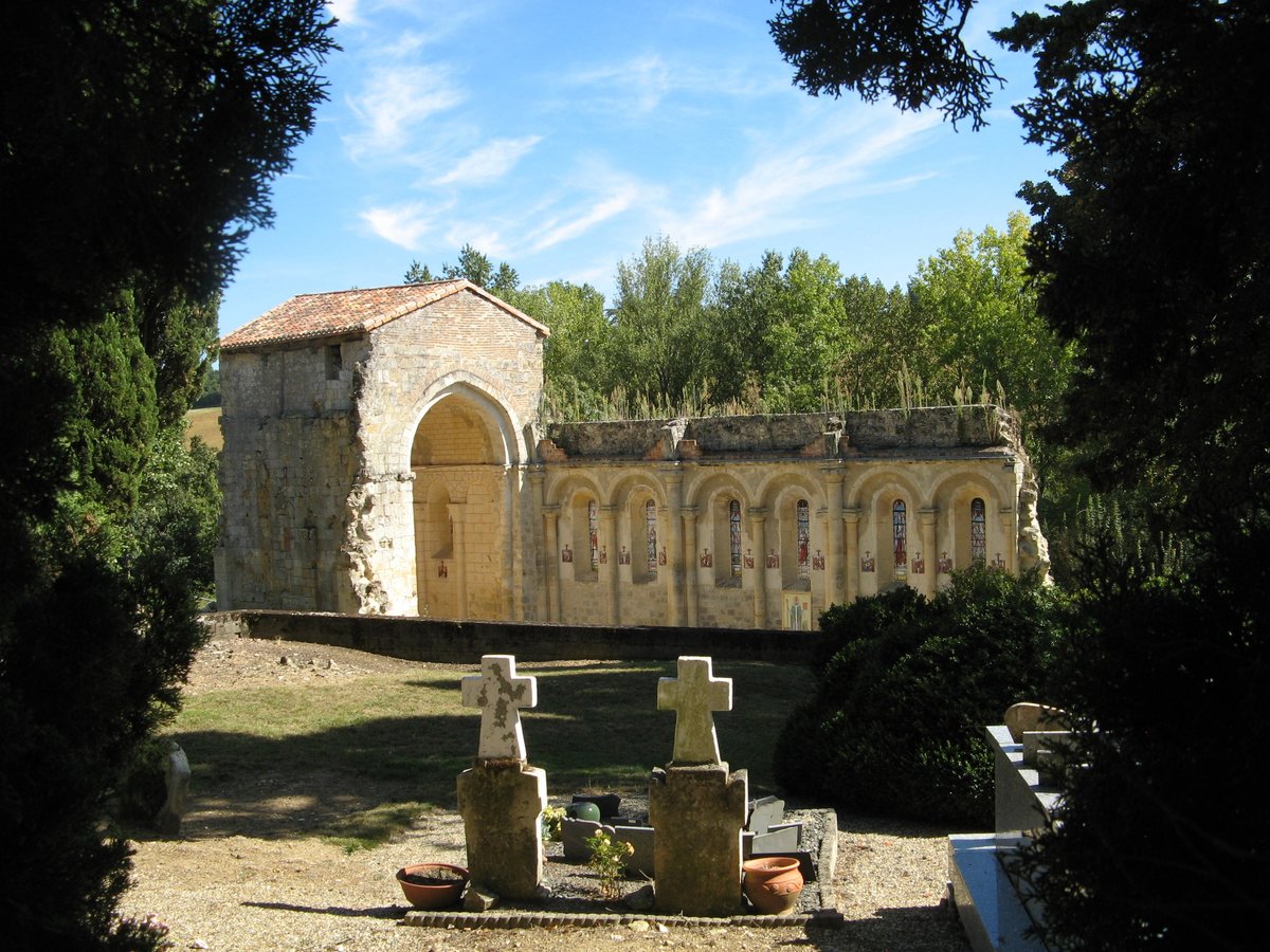
Today, the most visible area of the site is 100 metres north of the Saint-Sernin church. This church building served as a Benedictine abbey in the 9th century, followed by a school and a prison. Visitors can see the results of archaeological campaigns in a museum located in the old presbytère of the church, which houses bronze tools, coins, and other artifacts recovered from the site.
Sources: Wikipedia, OpenStreetMap, Wikidata, Wikimedia Commons
Written by Nicolo Ciampini
Discuss this with the author and others
No comments yet. Be the first to start the conversation.