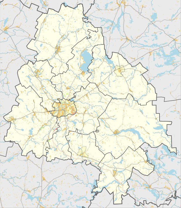

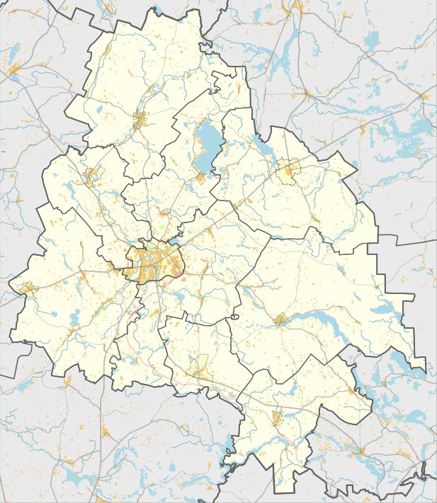
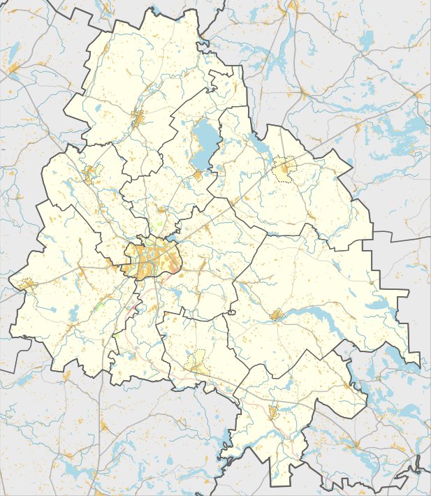
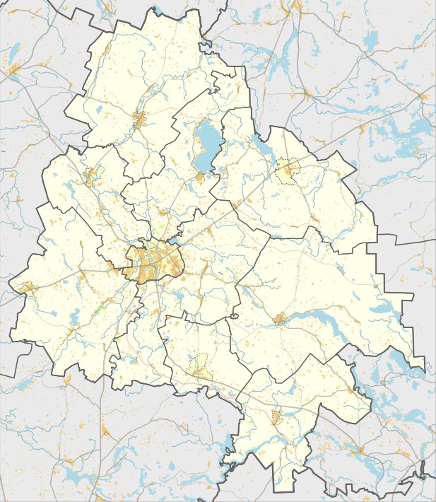
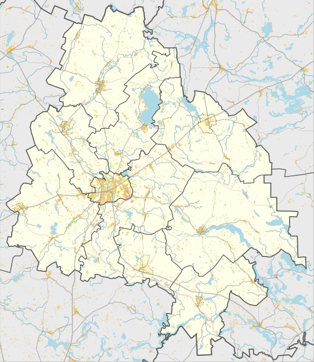
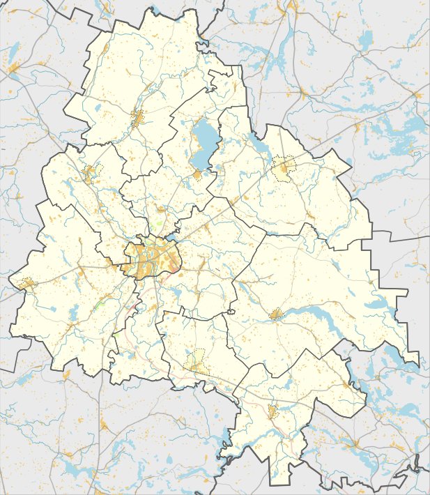
Nemeikščių piliakalnis is a hill fort located in the Utena district, in the Utena eldership, south of Nemeikščiai. It is situated on a separate hill on the left bank of the Krašuona stream. The site is accessible from the Utena-Kaltanėnai-Švenčionys road by turning toward the south and following the road for 500 meters past the Krašuona crossing.
The clearing of the hill fort is oval-shaped and elongated in the north-south direction. It measures 43 by 26 meters and is 1.5 meters higher in the southern part. The slopes are of medium height, reaching 15 meters, and are covered with grass and bushes. The northern slope is overgrown with shrubs.
In 1970, the Institute of History surveyed the site. No cultural layers or fortifications were observed during the study. The hill fort is dated from the 1st millennium BC to the beginning of the 1st millennium AD.
Sources: Wikipedia, OpenStreetMap, Wikidata, Wikimedia Commons

Written by Nicolo Ciampini
Discuss this with the author and others
No comments yet. Be the first to start the conversation.