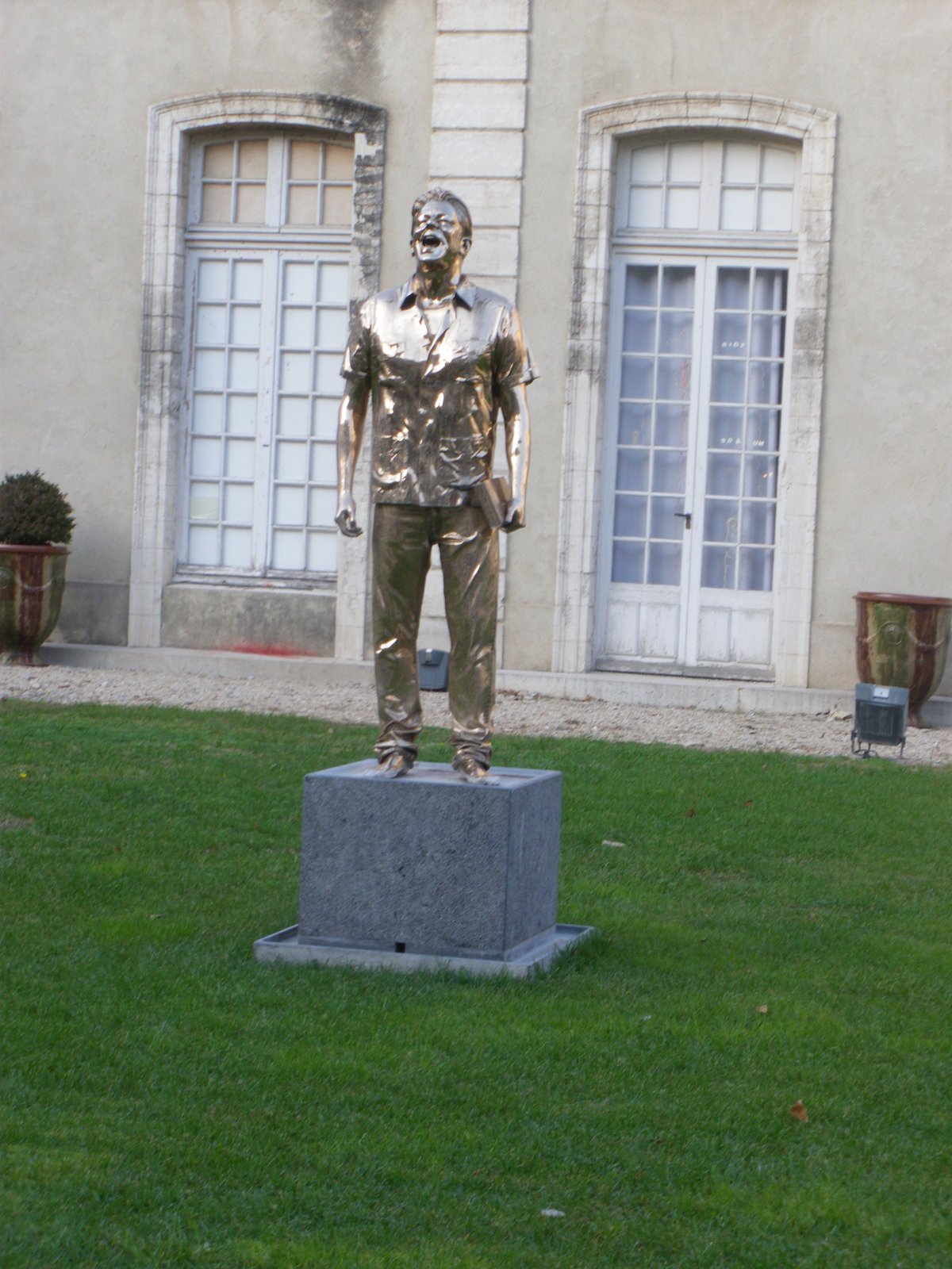

The Rhône once flowed through the ditches of this street in its lower section, toward rue Joseph-Vernet. This street corresponds to the outer boundary of the city's first medieval ramparts, constructed in the 13th century.
The current name of this thoroughfare has an uncertain origin and was only attributed to it in the 18th century. Before then, it was designated as "la rue du Moulin de la Ville aux remparts," and was also known as "rue des capucins," "rue des carmélites," or "rue de la Font-des-prêcheurs." The municipal mill was destroyed in the middle of the 19th century. At that time, the Sorgue river flowed in the open, and poplar trees lined its banks until 1704, when they were replaced by elm trees.
This area hosted a massive Dominican convent built on l'Estel, an island of gravel deposited by the river. Clement V resided here during his stay in Avignon, while Benoit XII and Clement VI were crowned within the convent walls.
Inside the historic center, the streets of Avignon Centre were created during the development of ancient Avenio and the medieval city during the time of the popes. These streets housed cardinal coats of arms, various hôtels particuliers, places of worship, old cemeteries, convents, and the university.
Sources: Wikipedia, OpenStreetMap, Wikidata, Wikimedia Commons

Written by Nicolo Ciampini
Discuss this with the author and others
No comments yet. Be the first to start the conversation.