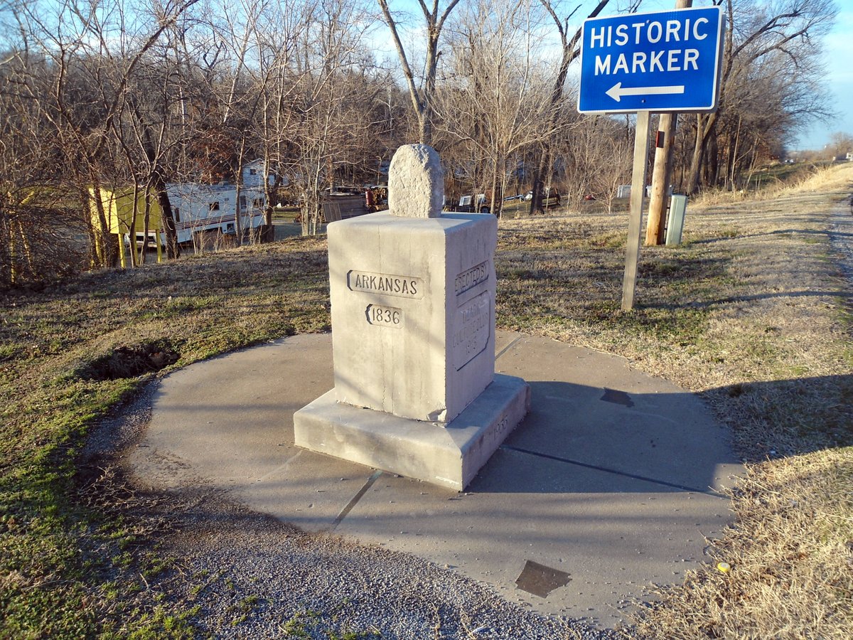

If you position yourself at OKARMO Corner, you are occupying three states at once. Out of only six such tripoints for Oklahoma, this one sits at 1,049 feet above sea level where the dirt of three different jurisdictions converges.
The atmosphere here feels layered. A concrete pedestal from 1915 holds a much older stone that probably dates back to the 1820s, during the era of the Missouri Compromise. The original stone marker was rediscovered by a local farmer before being incorporated into the current monument by the Ozark Culture Club.
Each side of the pedestal identifies the neighbors and their years of joining the Union, which are 1821 for Missouri, 1836 for Arkansas, and 1907 for Oklahoma. The Lions Club of Southwest City restored the monument in 1955 to preserve the historic site.
OKARMO Corner is easily accessible by road and is located just off the shoulder of Missouri Route 43. It serves as a reminder of how state boundaries meet at a single point.
Sources: Wikipedia, OpenStreetMap, Wikidata, Wikimedia Commons
Written by Friendly Jane
Discuss this with the author and others
No comments yet. Be the first to start the conversation.