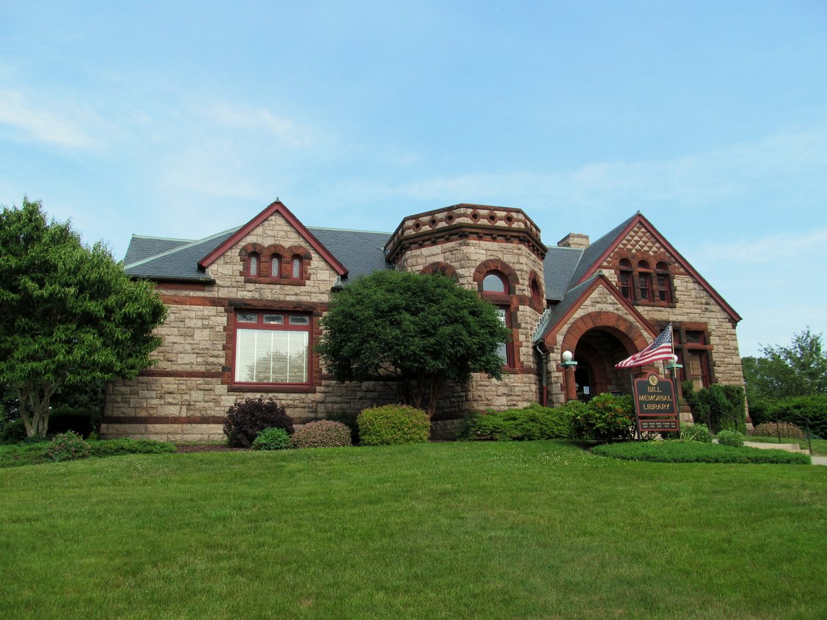

Groton Heights, also known as Groton Bank Historic District, is a fortress-like flotsam of urban debris, tucked away in Connecticut’s City of Groton. The boundaries of this 50-acre (20 ha) district are defined by the snake-like curves of Thames, Broad, and Monument Streets, forming an inverted U-shape, based on an 1868 map. But the story of this peculiar place isn’t as straightforward as the map might suggest. The district is a testament to the city’s tumultuous past, echoing the meandering river that carves through it.
Groton was first trodden by English colonizers in the mid-17th century, and it’s been a rollercoaster ever since. A significant whaling and shipbuilding center at one point, Groton’s past was marred by the Battle of Groton Heights during the American Revolutionary War, which left much of its colonial-era structures in ruins. However, two centuries later, the district still stands, albeit reborn in a new form.
Sources: Wikipedia, OpenStreetMap, Wikidata, Wikimedia Commons
Written by Friendly Jane
Discuss this with the author and others
No comments yet. Be the first to start the conversation.