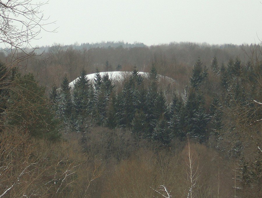

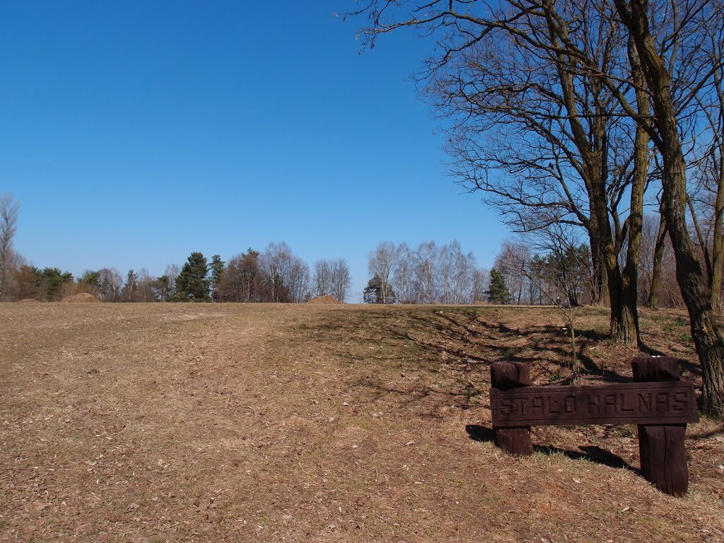
The Rokantiškės hillfort is an archaeological site located in the Vilnius city municipality, within the Naujosios Vilnios eldership. Registered as number 975 with unique object MC code 17323, the site consists of a hillfort and a settlement. The hillfort is situated on a separate hill on the left bank of the Murlė, featuring an oval enclosure measuring 28 by 25 meters with a center rising up to 1 meter.
The enclosure's slopes are characterized by a series of terraces. On the northwestern and eastern slopes, a terrace 1-2 meters wide sits 6 meters below the first terrace. Further down, 8 meters below that, is a third terrace situated 6 meters above the foot of the slope. On the southwestern slope, a trench 20 meters long, 6 meters wide, and 0.2 meters deep was carved 4 meters below the enclosure's floor.
Historical research dating from 1955 and 1993 identifies the hillfort as dating to the first millennium and the beginning of the second millennium. Archaeological findings in the nearby settlement include coarse and polished ceramics. The site is protected as a state cultural heritage monument and covers a total area of 47,000 square meters.
Sources: Wikipedia, OpenStreetMap, Wikidata, Wikimedia Commons



Written by Nicolo Ciampini
Discuss this with the author and others
No comments yet. Be the first to start the conversation.