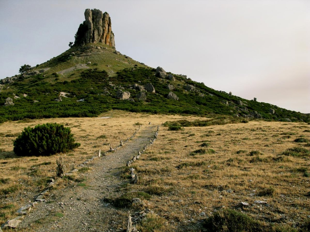
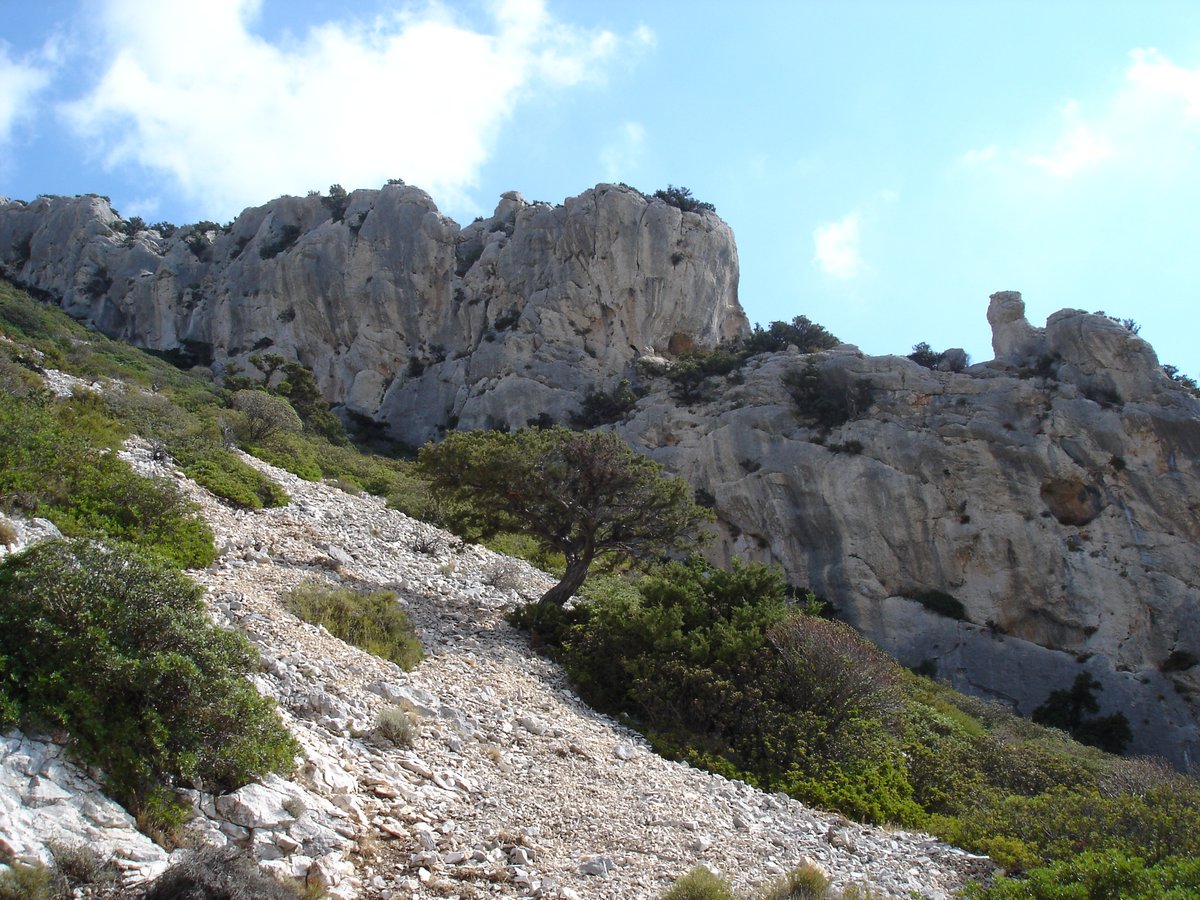
Monte Perda Liana is a distinctive mountain formation classified as a geological tacco in central-eastern Sardinia. Located at the boundary between the Barbaricina sub-region of Ogliastra and Barbagia di Seùlo, it stands within the territory of Gairo. Reaching 1,293 meters above sea level, it is the highest among the tacchi of Ogliastra.
The name of the mountain is composed of the words Perda, which identifies a rocky mass, and Liana. One theory suggests Liana may derive from the name of the Nuragic population of the Iliensi, who lived in the area and gathered at the base of the peak. Other theories suggest the name derives from the physical characteristics of the rock material or from the strawberry tree, which once covered its slopes.
The calcareous tower dates back to the Jurassic period, between 130 and 150 million years ago, and was formed through a long process of sedimentation in a submarine environment. The current forms were shaped over geological eras through water erosion. The vertical rocky walls of the tower rise for about 50 meters, and the fractures in the walls form large prismatic-section blocks.
The terminal structure of the dolomitic tower rests on a truncated conical base of sandstone nature from the Mesozoic era. The most significant stratigraphic development is found in the section at the base of the truncated conical block of the tacco, formed by schists dating back to the Paleozoic era, between 360 and 500 million years ago.
Sources: Wikipedia, Wikidata, Wikimedia Commons
Written by Sardinian
Discuss this with the author and others
No comments yet. Be the first to start the conversation.