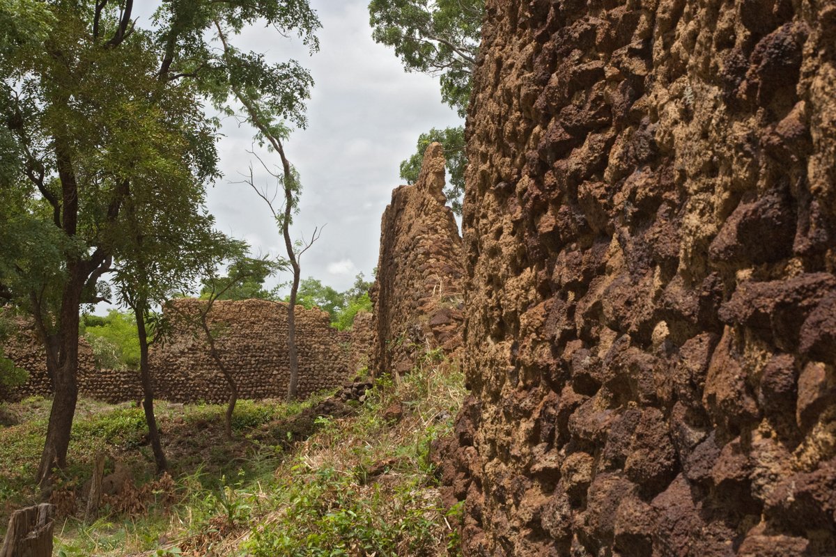

The stone walls of Loropéni stand at a height of six metres. These ruins are the best-preserved of ten fortresses in the area, dating back at least a thousand years. The site, which covers 1.113 hectares, was occupied by the Lohron or Kulango people and prospered from the trans-Saharan gold trade.
Between the 14th and 17th centuries, the site flourished as trade routes moved through the region. While the Ghana Empire held a firm grip on the gold mines, Loropéni was believed to witness gold trade due to its proximity to the two Trans-Saharan termini of Timbuktu and Gao. The imposing height of the walls was allocated to preserving gold inside the ruins, though this is based on circumstantial evidence.
The Mali Empire also saw a significant gold price collapse during the reign of Mansa Musa in 1324. However, trade eventually shifted to the coast as Europeans established trading posts and gold was sourced from Ashanti holdings. The settlement was eventually abandoned in the early 19th century.
Today, the ruins are a UNESCO World Heritage site, recognized as the country's first such listing in 2009. The site is currently overgrown by shrubbery and dense trees. While managed for sustainable development, the ruins are severely impacted by environmental conditions, including increasing rainfall variability and extreme temperature cycles.
Sources: Wikipedia, OpenStreetMap, Wikidata, Wikimedia Commons

Written by Mutabor
Discuss this with the author and others
No comments yet. Be the first to start the conversation.