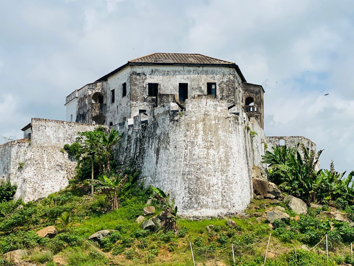

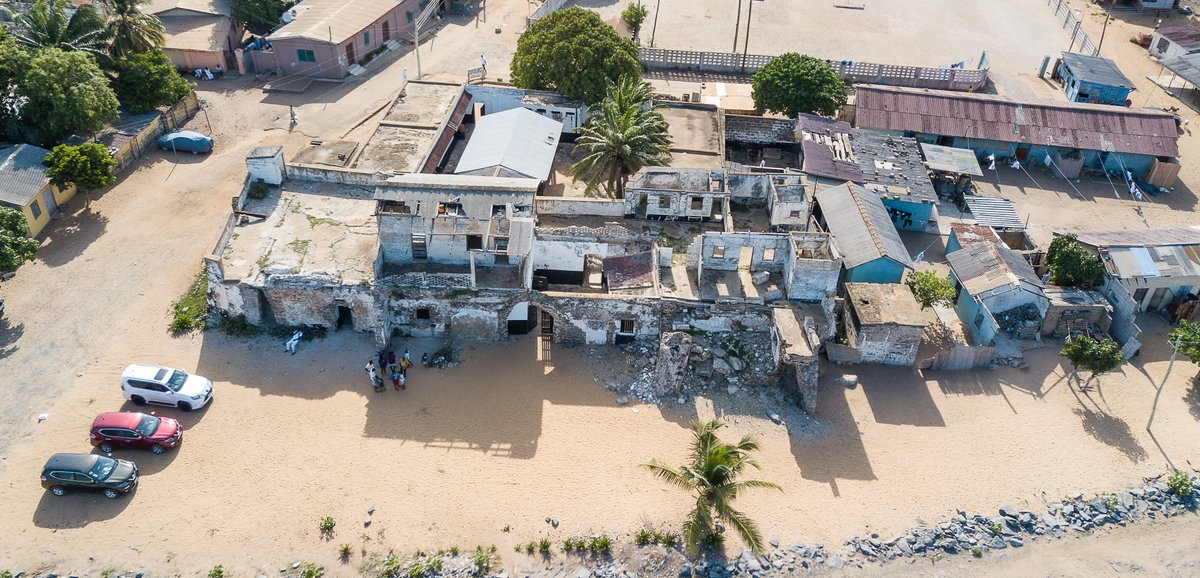
Fort Saint Anthony was built by the Portuguese in 1515 near the town of Axim in Ghana. In 1642, the Dutch captured the fort and made it part of the Dutch Gold Coast. The Dutch expanded the fort considerably before turning it over to the British in 1872. The fort is now owned by the Ghanaian state and is open to the public. It was the first fort encountered by Dutch traders in the region, serving as a source of provisions and fresh water.
As the westernmost fort of the Dutch possessions, its commandant served as senior commissioner in the Colonial Council in Elmina. Unlike many other Dutch possessions, Fort Saint Anthony was never abandoned during the 19th century and remained occupied until 1872. Due to its testimony to European pre-colonial and colonial trade and exploitation, it was inscribed on the UNESCO World Heritage List in 1979 along with several other castles and forts in Ghana.
The authority of the commander reached far beyond the fort and the town of Axim. In 1642, the Dutch signed a treaty claiming joint jurisdiction over many surrounding settlements, a claim they maintained for years. In the late 1850s, when the Dutch reformed their possessions into districts, the resident of Fort Saint Anthony, Julius Vitringa Coulon, drew a map displaying a jurisdiction similar to the one proclaimed by Jan Valckenburgh in 1656.
In 2013, the Zamani Project, a non-profit research group from the University of Cape Town, documented Fort Saint Anthony with terrestrial 3D laser scanning. This data provides a permanent record for research, education, restoration, and conservation. A 3D model, panorama tour, and plans of the fort are available online through the project's website.
Sources: Wikipedia, OpenStreetMap, Wikidata, Wikimedia Commons
Written by Mutabor
Discuss this with the author and others
No comments yet. Be the first to start the conversation.