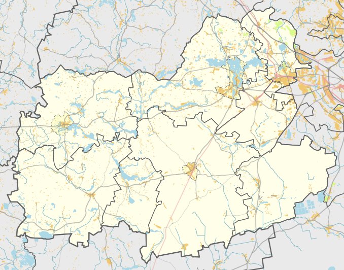

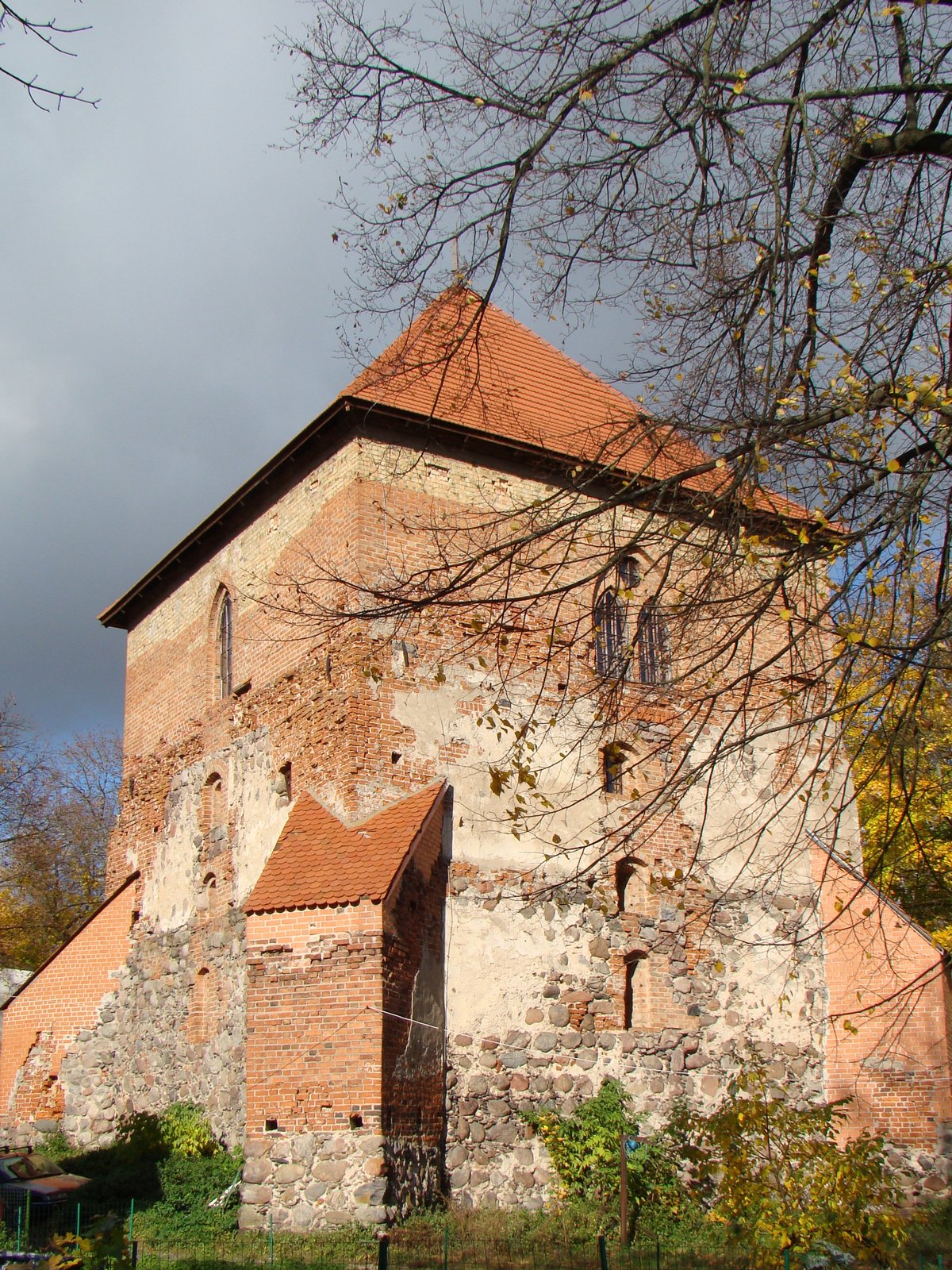
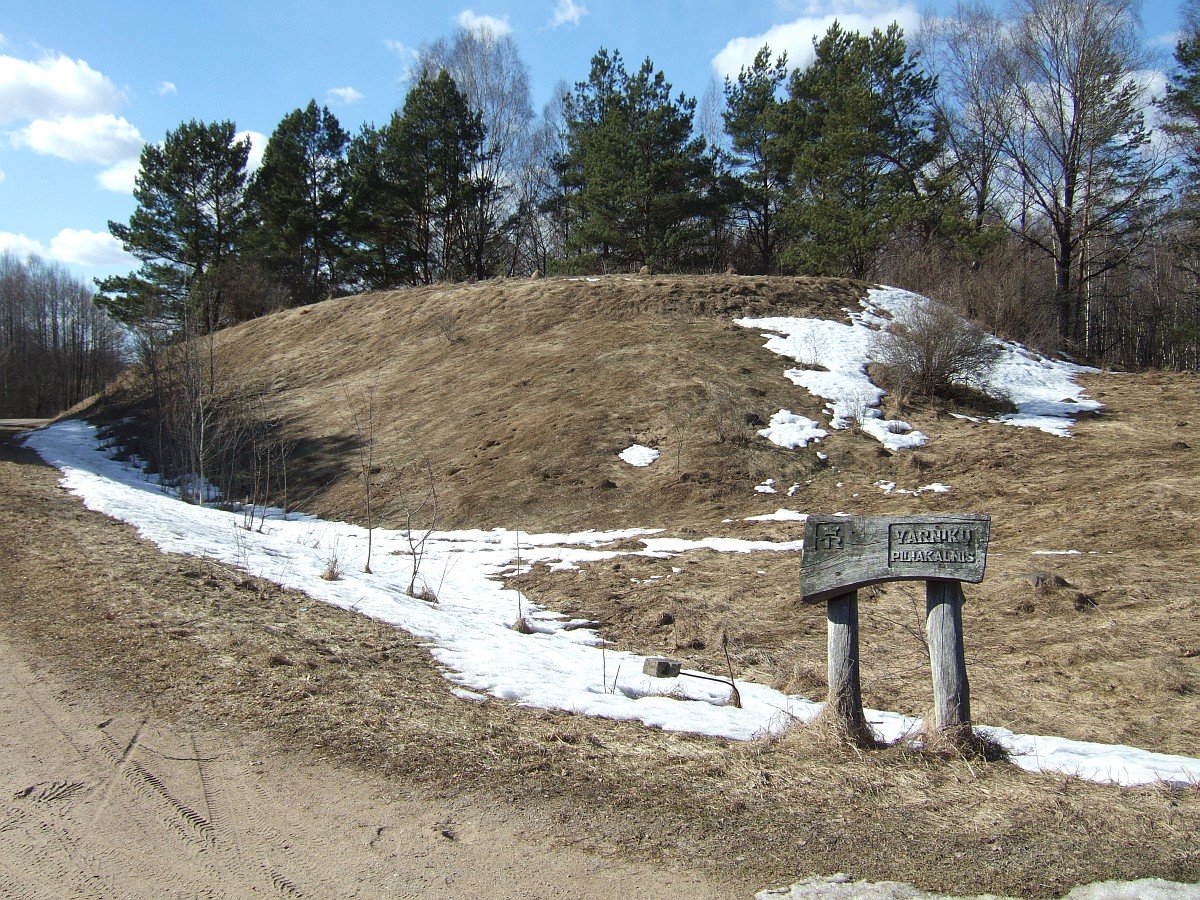
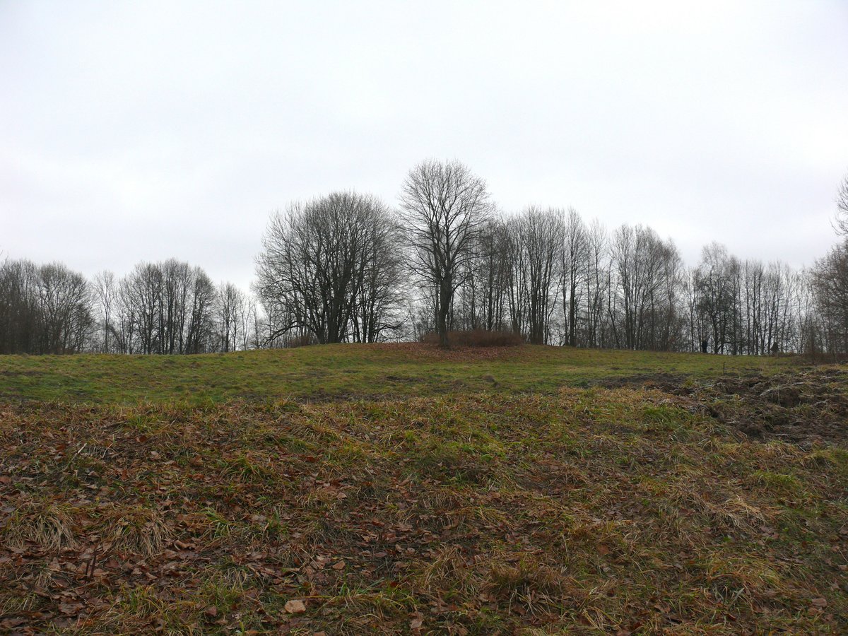
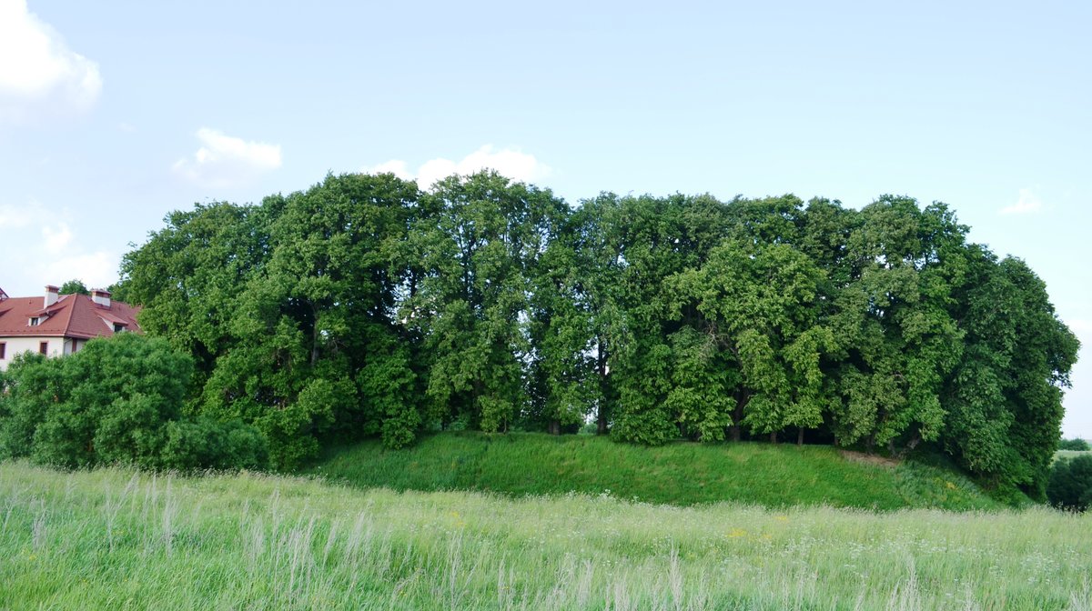
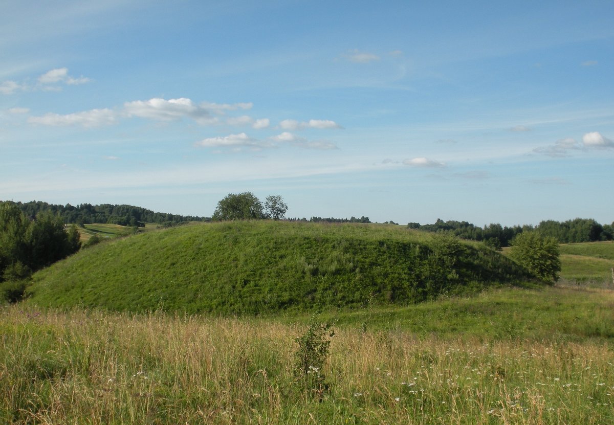
In the northern part of Trakai, the Trakai Castle Mound (or Pilies Kalnas) stands on a peninsula on the western shore of Lake Luko. The rectangular clearing measures 45 by 17 meters, situated just 700 meters southeast of the Trakai Island Castle. The mound features slopes reaching 12 to 14 meters in height, and its territory covers 39,000 square meters.
Archaeological investigations have revealed layers of history. In 1854, Eustachijus Tiškevičius made a cross-section of the clearing and dug 7 pits, discovering masonry slope reinforcements. Later, in 1962, Adolfas Tautavičius examined a 582-square-meter area. He found that while some early fortifications were destroyed during later reconstructions, others remained buried under thick layers of gravel and clay.
Excavations uncovered a defensive wall of brick and stone measuring 50 by 15 meters, two meters thick, and a partially finished building of 15 by 18 meters. Further north, a courtyard and a possible tower or building were also identified. Among the few archaeological finds in the clearing are three iron pins, a lock part, a whetstone, an arbalest arrow tip, a few undefined small objects, and 17 ceramic forks.
Sources: Wikipedia, OpenStreetMap, Wikidata, Wikimedia Commons

Written by Nicolo Ciampini
Discuss this with the author and others
No comments yet. Be the first to start the conversation.