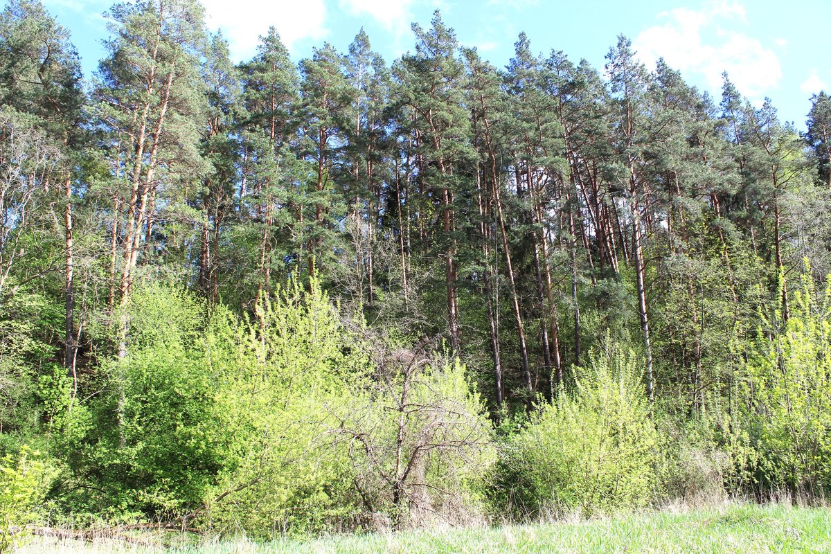

At Neravų piliakalnis, the fortification sits on a jagged ridge along the left bank of a river. The site features a triangular courtyard, stretching 60 metres long and 41 metres wide, oriented in a northeast - southwest direction. Along the southwest edge of the courtyard, there is a bank 40 metres long, 1.5 metres high, and 10 metres wide. Behind this bank, a 6-metre wide ditch, 1 metre deep, is visible on the southwest slope.
Further details of the site include another embankment in the northeast corner of the courtyard, measuring 15 metres long, 0.5 metres high, and 7 metres wide. The surrounding slopes reach heights of 12 to 25 metres. The site is protected by ramparts and is covered in pines with sparse birch trees. The fortification is dated to the first millennium - the beginning of the second millennium.
Located in the northeast corner of the 36th quarter of the Paneriai forest, the site is reachable via a forest road from Grigiškės toward Vilnius. To reach it, travelers go north past the railway, 900 metres from the road to a farm on the left, and 500 metres north along the second block line. The cultural monument covers a total area of 12,000 square metres.
Sources: Wikipedia, OpenStreetMap, Wikidata, Wikimedia Commons




Written by Nicolo Ciampini
Discuss this with the author and others
No comments yet. Be the first to start the conversation.