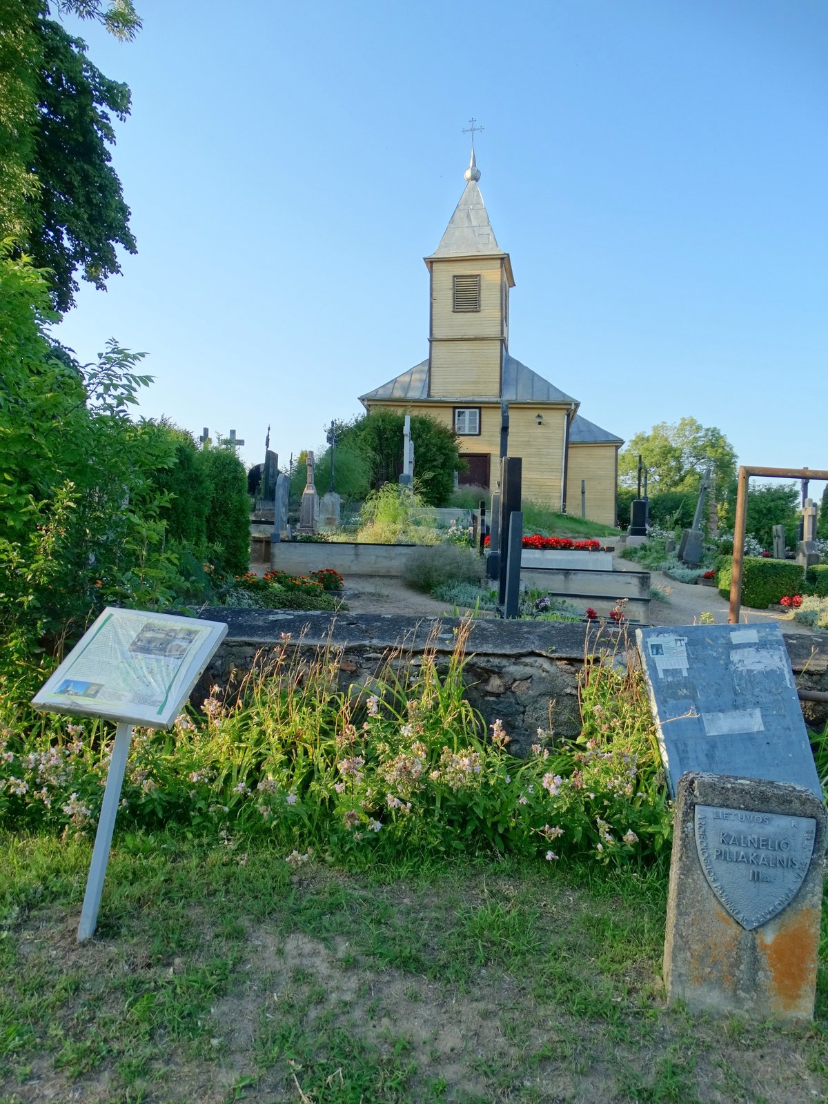

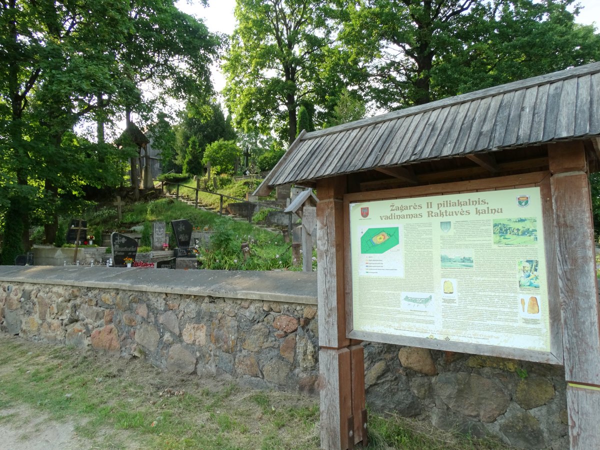
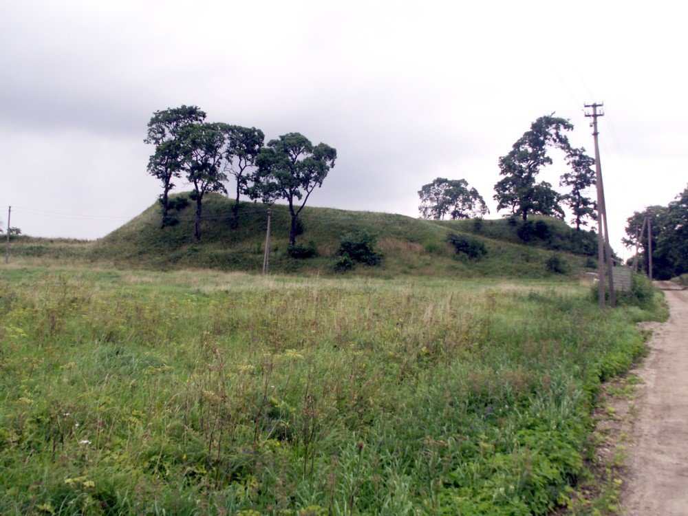
Kalnelio piliakalnis is a hillfort located in the northern part of Kalnelio village, on the left bank of the Sidbra river. The site features a 70 x 45 m oval courtyard with slopes 4-6 m high. To the north, behind a 4 m wide and 2 m deep ditch, lies a cemetery with an oval courtyard measuring 130 x 40 m.
Archaeological research conducted since 1966 has revealed a cultural layer about 0.9 m thick. Excavations have uncovered pottery, a silver pendant, fragments of bronze jewelry, iron knives, flint, oil, and a jeweler's hammer. The hillfort is dated from the 5th to the 13th centuries. To the west, south, and east of the hillfort lies a settlement explored in 1990.
Historically, Sidabrė castle stood on this site, serving as the final fortress captured by the Crusaders. In 1289, the outer bailey of the castle was burned, though the fortress was not captured. In the winter of 1290, the castle was attacked again with new forces; part of the population surrendered, others fled to Lithuania, and the castle was burned. In 1526, a wooden church and cemetery were built on the hillfort, which still occupies the cemetery area.
Today, the western slope of the hillfort remains covered in viburnum. A chapel stands on the crest of the hillfort, overlooking the area where the old fortress stood.
Sources: Wikipedia, OpenStreetMap, Wikidata, Wikimedia Commons




Written by Nicolo Ciampini
Discuss this with the author and others
No comments yet. Be the first to start the conversation.