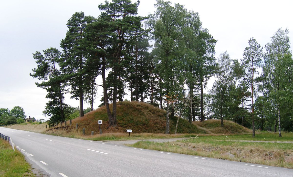

Located between Hönshyltefjorden and Hönshylte gyl, along a road from Smålands inland to Blekingekusten, the Hönshylte Redoubt dates back to the 1300s. With an approximate area of 40x40 meters, the fortification is square, featuring two constructed mounds reaching about 5 meters high. These mounds once stood surrounded by dug trenches. However, the fort's name and origins continue to baffle researchers, potentially tied to either the bishop of Växjö or a noble family. One mystery is if it functioned as a transfer station between land and sea transport. Today, the fort is predominantly reduced to a few grass-covered mounds. The west side was breached in the 1870s by the Karlshamn-Vislanda railway, while the east side has been slightly damaged by the current county road 126. Archaeological excavations of the site remain unexplored.
Sources: Wikipedia, OpenStreetMap, Wikidata, Wikimedia Commons
Written by Nik Frost
Discuss this with the author and others
No comments yet. Be the first to start the conversation.