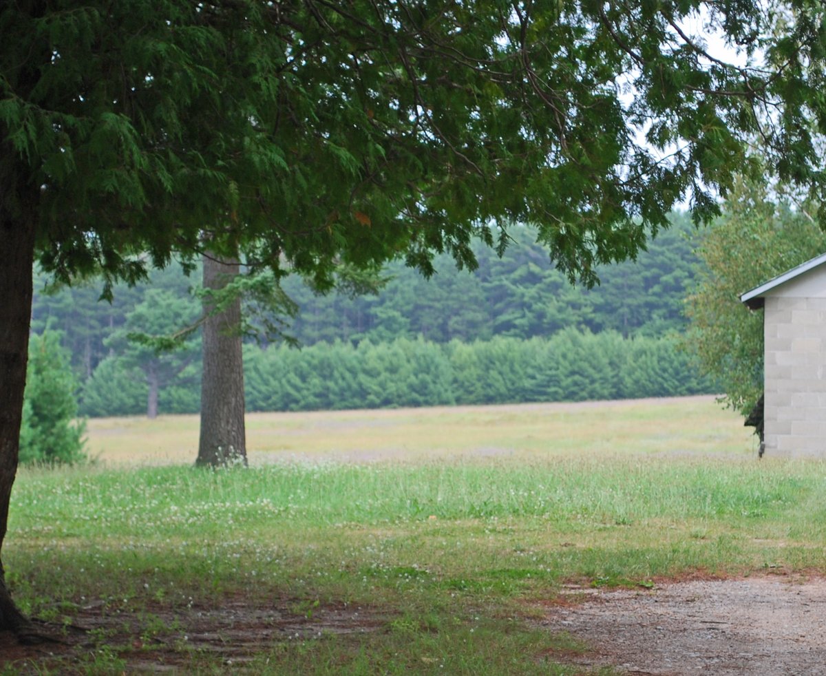
Skegemog Point is no regular point. Listed on the National Register of Historic Places, it features a unique geological layout where layers lie flat rather than vertically. This happens thanks to a geological quirk called glacial rebound, where the underlying limestone slowly rises, changing the relative location of the lakeshore. The oldest layers are far from the lakeshore, dating back around 10,000 BCE.
The second layer is closer to the shore, from around 3000 BCE. The newest? That is right at the shore, from around 900-1200 AD. The Late Woodland section, which holds the youngest material, boasts at least 26 hearth areas, charcoal, potsherds, bone fragments, and seeds. It also contains multiple postmolds set in circular configurations of about 10 feet in diameter, suggesting temporary or seasonal wigwam-type structures.
So, don't settle in. At Lake Skegemog's Point, history is constantly rising.
Sources: Wikipedia, OpenStreetMap, Wikidata, Wikimedia Commons




Written by Leroy
Discuss this with the author and others
No comments yet. Be the first to start the conversation.