
Petersburg: Interesting Toponyms
For Browsing
Throughout our entire lives, from the moment of birth until the very end, various geographical names accompany us. Geographical names do not arise out of "thin air": by noticing certain features of the terrain and nature, the people living nearby named them, emphasizing their distinctive characteristics. Over time, the peoples living in a particular region changed, but the names remained and were used by those who came to replace them. Any toponym for historical science is not simply the name of a geographical object, but a historical trace on the map, which has its own origin story, linguistic roots, and semantic meaning.
 Jermaine
 Map

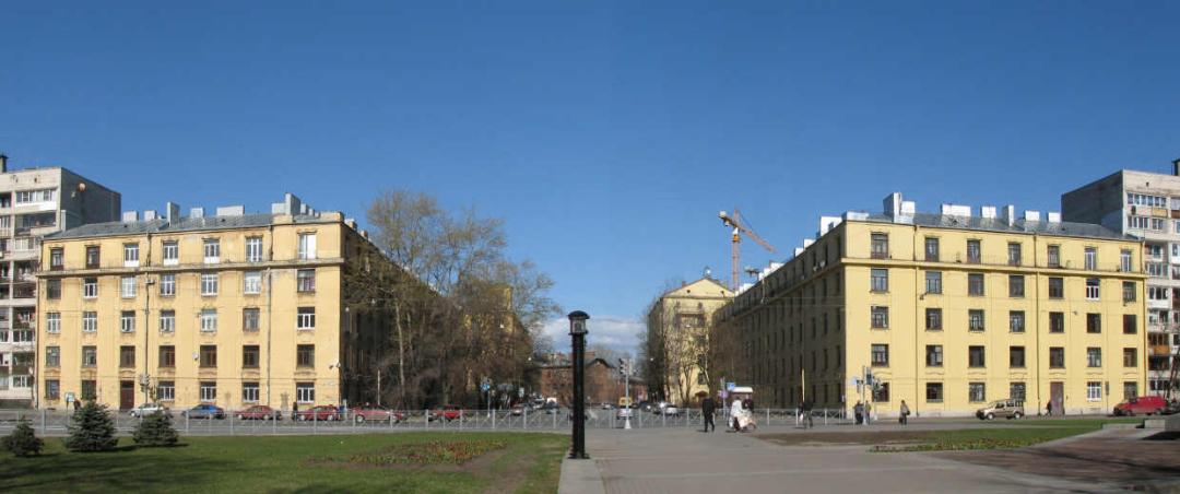
History of the Komendantsky Aerodrome District
Bogatyrsky Ave., 7, bldg. 5, Saint Petersburg, Russia, 197348
Petersburg: Interesting Toponyms Jermaine 
Konnyaya Lakhta or Kontu Lakhta — "courtyard by the bay"

Kolomyagi or Kelomyaki, another trace of Swedish presence
3rd Line Street, 2nd Half, 19, Saint Petersburg, Russia, 197375
Petersburg: Interesting Toponyms Jermaine 
The History of the Name of Vasilievsky Island

The Origin of the Name. Karpovka River
nab. r. Karpovki, d. 5, korp. 16, of.201-202, Saint Petersburg, Russia, 197101
Petersburg: Interesting Toponyms Jermaine 
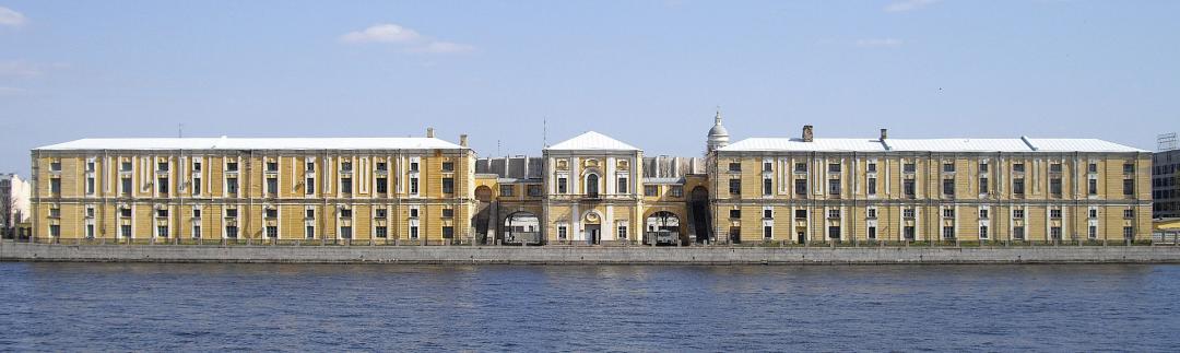
Kozhevennaya Line - a new hangout spot replacing the creepy industrial zone

Old Kalinkin Bridge
Staro-Kalinkin Bridge, Staro-Petergofsky Ave., Saint Petersburg, Russia, 190121
Petersburg: Interesting Toponyms Jermaine 
Kirochnaya Street
Saint Petersburg, Kirochnaya 8 lit V, Saint Petersburg, Russia, 191028
Petersburg: Interesting Toponyms Jermaine 
Furshtatskaya Street

Austrian Square

Bestuzhevskaya Street

Osinovetsky Redoubt, Osinovaya Roshcha Fortress

Moon Cats Street

Avtovo (historical district)

Okhta (historical district)
Tuchkov Buyan - the legendary Biron’s palace or hemp warehouses?
Bolshoy Prospekt P.S., 1A, Saint Petersburg, Russia, 197198
Petersburg: Interesting Toponyms Jermaine 
Are the streets called Zeleinye or Zelenina? (Bolshaya Zelenina, Malaya Zelenina, and Glukhaya Zelenina)
Lodeynopolsky Square, Bolshaya Zelenina St., 23, Saint Petersburg, Russia, 197110
Petersburg: Interesting Toponyms Jermaine 
Bolshaya and Malaya Monetnye Streets
Bolshaya Monetnaya St., 16b, Saint Petersburg, Russia, 197101
Petersburg: Interesting Toponyms Jermaine 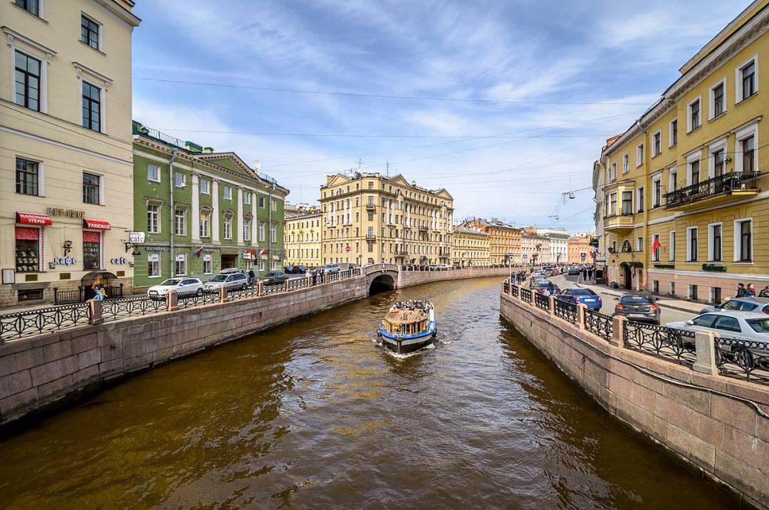
History of the Moyka River
Moika River Embankment, 89, Saint Petersburg, Russia, 190000
Petersburg: Interesting Toponyms Jermaine 
History of the Fontanka River
Fontanka River Embankment, 115, Saint Petersburg, Russia, 190068
Petersburg: Interesting Toponyms Jermaine 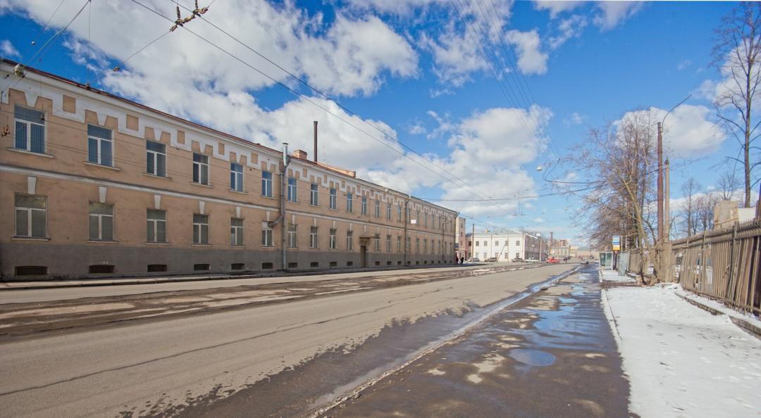
Chapaev Street
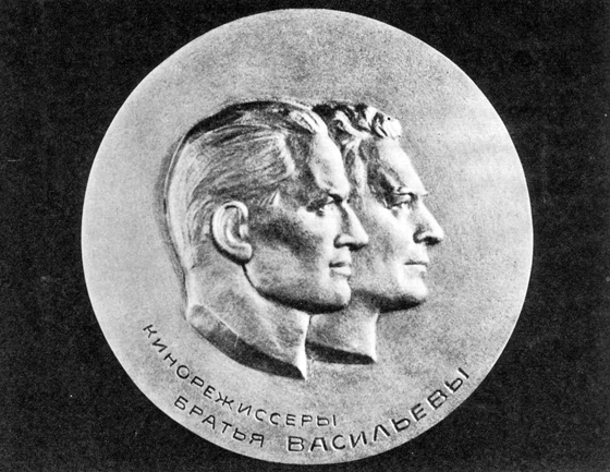
Malaya Posadskaya Street (Bratyev Vasilyevykh)
Malaya Posadskaya St., 22-24, Saint Petersburg, Russia, 197046
Petersburg: Interesting Toponyms Jermaine 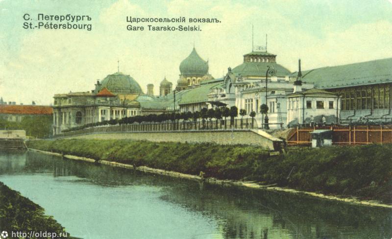
The Legendary Vvedensky Canal: History of Its Origin and Loss (Vvedensky Canal Street)
Income Houses of the Joint-Stock Company "New Petersburg"
Zheleznovodskaya St., 19, Saint Petersburg, Russia, 199155
Petersburg: Interesting Toponyms Jermaine