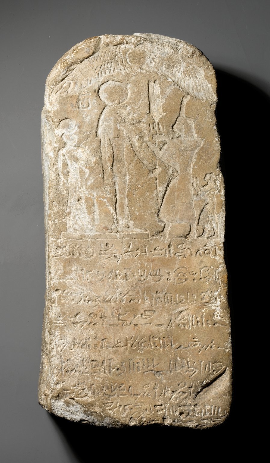

Kom Firin is an archaeological site in Egypt, situated in the southwestern border of the Nile Delta, just west of Kom el-Hisn. Most of the information regarding the site comes from a 2002–2010 excavation campaign led by Neal Spencer for the British Museum. The site was originally located on a Finniya Canal that flowed north toward the Mediterranean.
Earliest attestations of the site date back to the 19th Dynasty, and it was likely founded as a fortified town against Libyan incursions from the western border of Egypt. A large enclosure measuring 225 by 199 meters was unearthed in the eastern part of the site, believed to be the remains of a fortified Ramesside temple. During the Late Period, the town and the older New Kingdom enclosure underwent significant remodeling and expansion, quadrupling the area of the enclosure.
During the Saite period in the mid-first millennium BC, Kom Firin may have reached its greatest extent, potentially covering around 57 hectares and containing between 3800 and 5700 houses. In later times, the site was progressively demolished by sebakh diggers. Today, modern features of the site include mudbrick pillars and pinnacles up to 10 meters high, formed by the combined action of weather and sebakh-digging on the ancient buildings.
Sources: Wikipedia, OpenStreetMap, Wikidata, Wikimedia Commons




Written by Mutabor
Discuss this with the author and others
No comments yet. Be the first to start the conversation.