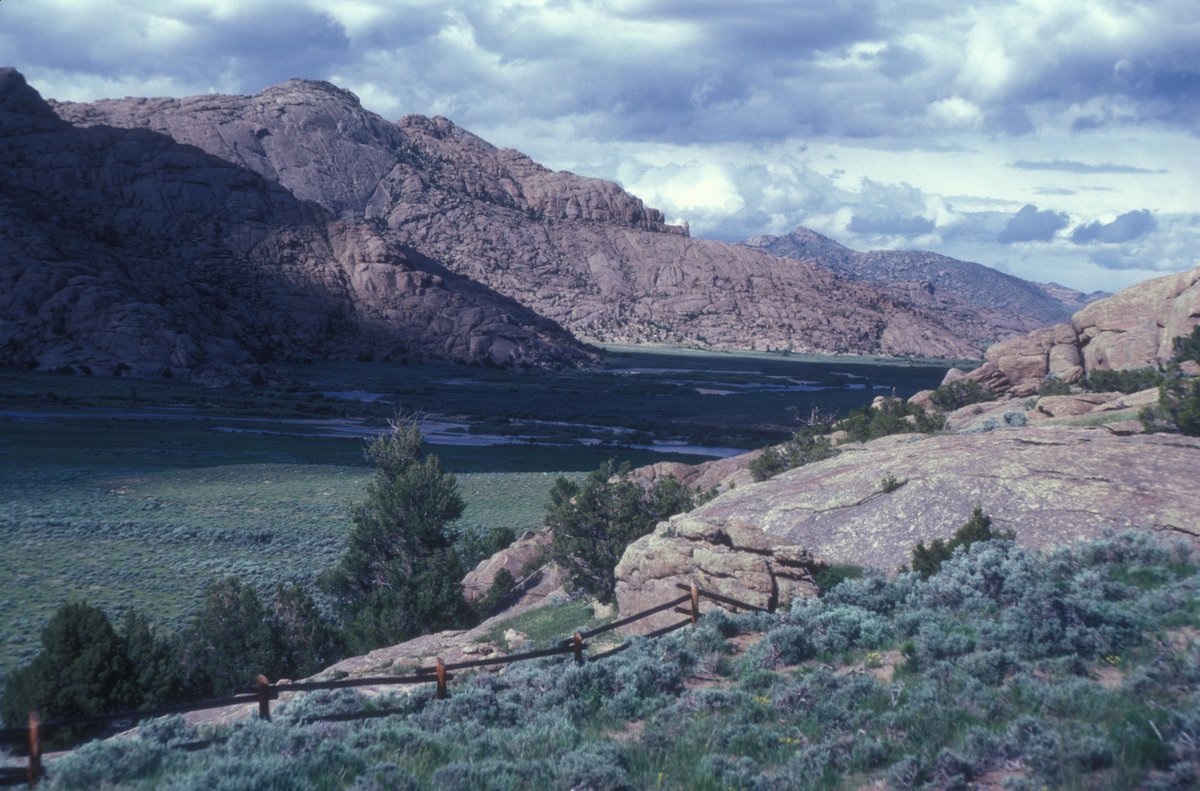

Located roughly ten miles north of the Muddy Gap junction between Casper and Rawlins, Twin Peaks, also known as Split Rock, is a distinctive mountain in central Wyoming. With an elevation of 7,305 feet (2,227 m) and a deep V-shaped cleft dividing its summit, it has long been a landmark along the Oregon Trail and other early settlement routes. The mountain summit was even listed on the National Register of Historic Places in 1976 for its historic significance.
But its history runs even deeper - around fifty million years, in fact. Fifty million years ago, the Sweetwater River Valley and Granite Range began to form. The range was created as a segment of the Rocky Mountains. About fifteen million years later, the area dropped downward, creating a bowl. About ten million years ago, Moonstone Lake formed in this bowl. The lake, located in the Sweetwater River Valley, was large, shallow, and briny, adding 1,500 feet (460 m) of sediments, with some uranium concentrations. The erosion that stripped the surrounding high points and exposed the Granite Range followed later.
Sources: Wikipedia, OpenStreetMap, Wikidata, Wikimedia Commons
Written by Friendly Jane
Discuss this with the author and others
No comments yet. Be the first to start the conversation.