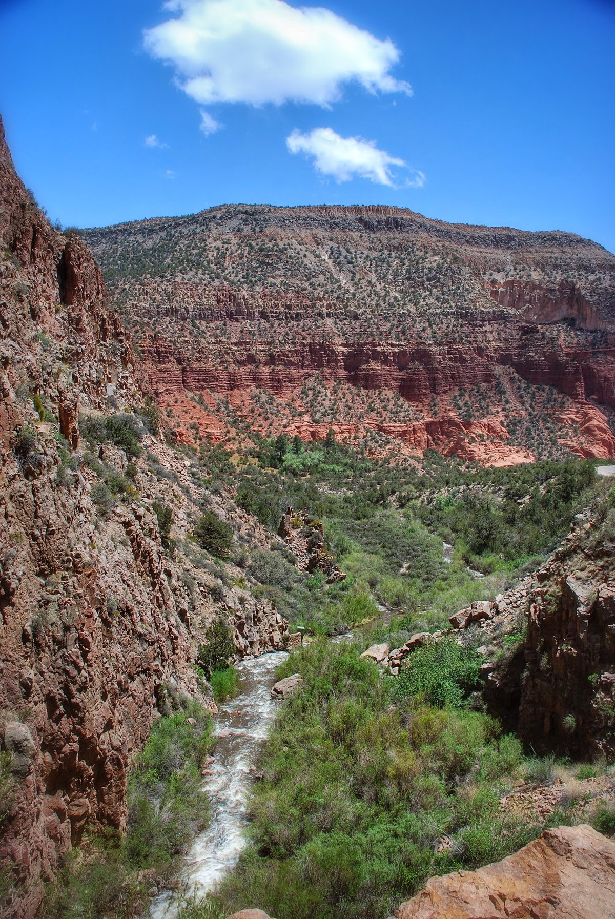
A million years ago, tremendous volcanic eruptions created a huge caldera some 15 miles in diameter. The rim of this caldera is segregated by structures into multiple lush grass valleys.
Magma produced from the fertile rock of an ancient subduction zone has repeatedly found its way to the surface along faults produced by rifting. This has produced a long-lived volcanic field, with the earliest eruptions beginning at least 13 million years ago and continuing almost to the present day. Most of the range is composed of pre-caldera basalts, andesites, and dacites. The most recent known eruption is the obsidian of the Banco Bonito flow, dated to 68.3 ± 1.5 thousand years before the present.
A seismic low-velocity zone exists beneath the western part of the Valles Caldera. It covers an area of 10 by 14 kilometers and extends to depths of 5 to 15.5 kilometers. This zone consists of at least 10 percent molten rock and represents a new pulse of magmatic activity. The Los Alamos Seismic Network has detected no unusual volcano-seismic activity since it was installed in the 1970s.
People still use the land for sport. You can hike the Continental Divide Trail. You can ski at Pajarito Mountain. There are hot springs and fishing in the Jemez River and San Antonio Creek. Watch the wind. It gets dry in the spring. The region is prone to forest fires because of the tendency for spring weather to be dry and windy, creating conditions under which fires caused by human activities or lightning can spread rapidly.
Sources: Wikipedia, OpenStreetMap, Wikidata, Wikimedia Commons
Written by Leroy
Discuss this with the author and others
No comments yet. Be the first to start the conversation.