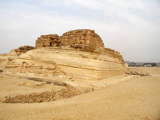

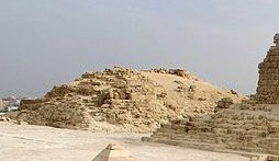
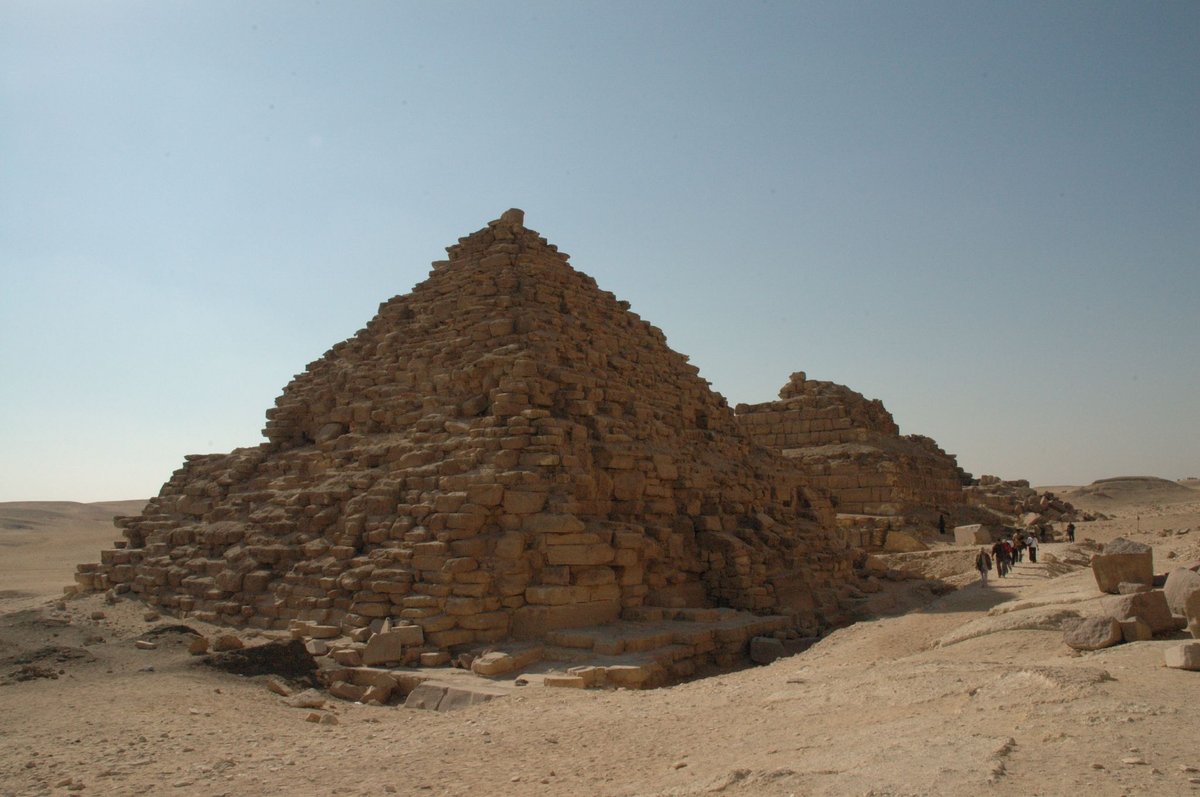
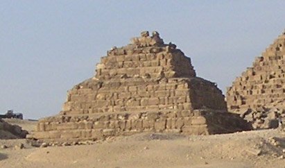
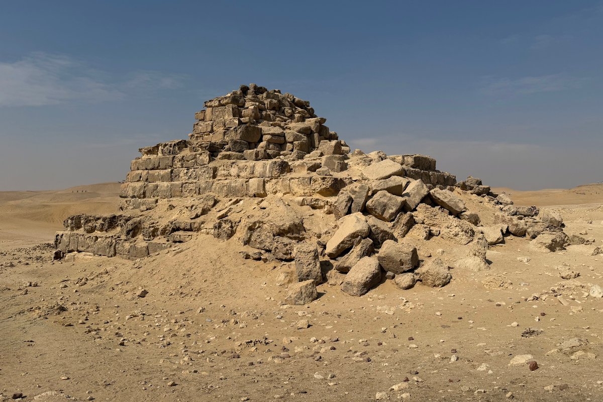
The pyramid of Khentkaus I, or step tomb of Khentkaus I, is a Fourth Dynasty two-stepped tomb built for the Queen Mother Khentkaus I in Giza. The tomb, built in two phases coinciding with its two steps, was originally known as the fourth pyramid of Giza. One of her titles was of particular interest because it had not been known of prior to its discovery at her tomb.
It was built in two phases. In the first phase, a nearly square block of bedrock, around which the stone had been quarried for the Giza pyramids, was utilised to construct her tomb and encased with fine white Tura limestone. In the second phase, most likely in the Fifth Dynasty, her tomb was enlarged with a large limestone structure built on top of the bedrock block.
South-west of the tomb was a long boat pit, which housed the Night boat of Re. The pyramid of Khentkaus I has a two-stepped superstructure. The lower step is nearly square in shape and has dimensions 45.8 m x 45.5 m with a height of 10 m. This step had a north-south orientation and was cut into bedrock - reserved for the tomb whilst the stone around it was quarried for the Giza pyramids - and encased in fine white Tura limestone with a given slope of about 74 degrees. The casing was well preserved on the west and north faces, but near totally destroyed on the south face.
The pyramid of Khentkaus I was significantly altered in the first half of the Fifth Dynasty of Egypt, and a second step was built over the west half of the superstructure. The second step is mastaba-like and has dimensions of 28.5 m x 21 m with a height of 7 m. The overall structure was 17.5 m tall and was fully encased in white Tura limestone. The tomb of Khentkaus I was enclosed on three sides by a 2.75 m thick, whitewashed mudbrick perimeter wall.
The south wall of the perimeter wall starts with a bend at the edge of the solar boat pit, runs for 61 m along the entire east wall, and then along the north wall for 4 m. Ten carefully planned homes were built along a causeway leading from the chapel through the town, suggesting that the town was designed and not the result of natural urban development.
Sources: Wikipedia, OpenStreetMap, Wikidata, Wikimedia Commons

Written by Mutabor
Discuss this with the author and others
No comments yet. Be the first to start the conversation.