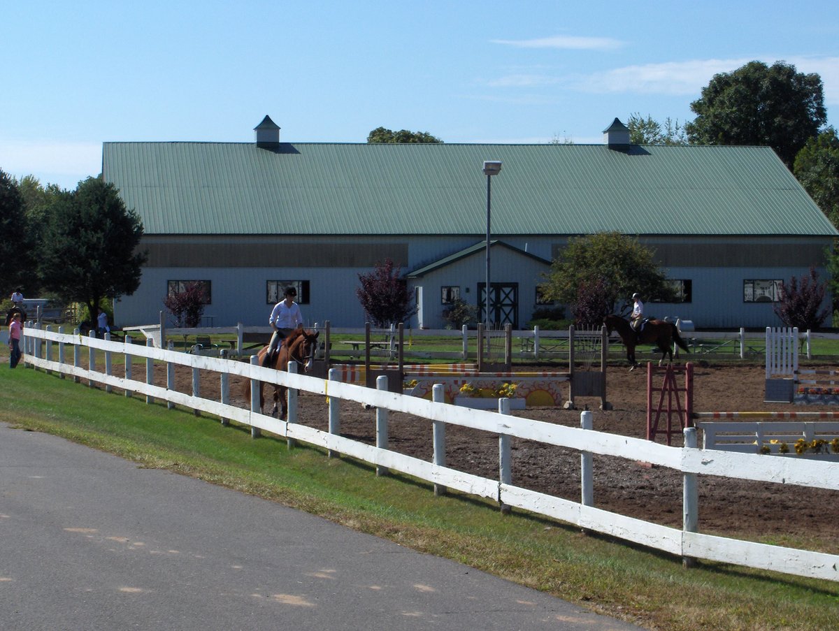
Simsbury was settled in the 17th century and incorporated in 1670. None of its early buildings survived the ravages of King Philip's War in 1676, and it was not resettled until the early 18th century.
East Weatogue is located in the plains between the Farmington River and a low mountain ridge. It is one of three early village settlements from that period. Three houses from the first map of the area, dated about 1730, are still standing.
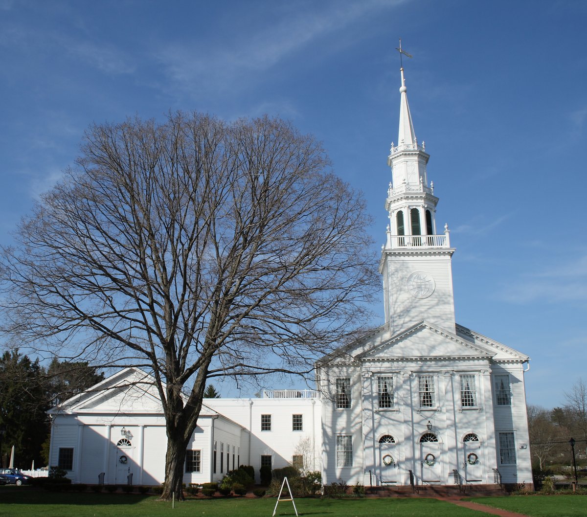
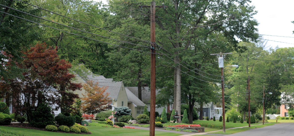
Wood-frame houses cluster together. Farmers built them in a village cluster and typically worked land nearby, creating the present arrangement of the village. The largest architectural style is the colonial-era Georgian style, which continued into the 19th century. There are also smaller numbers of Federal and Greek Revival houses.
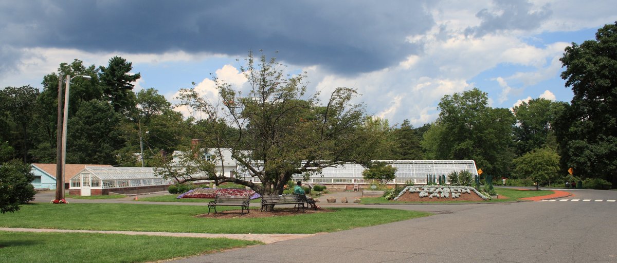
The district covers 490 acres and remains largely agricultural. The land use still reflects early methods of use. The district is centered on the junction of East Weatogue Street and Hartford Road, where houses line the roads in some instances growing into substantial farm complexes.
Sources: Wikipedia, OpenStreetMap, Wikidata, Wikimedia Commons
Written by Leroy
Discuss this with the author and others
No comments yet. Be the first to start the conversation.