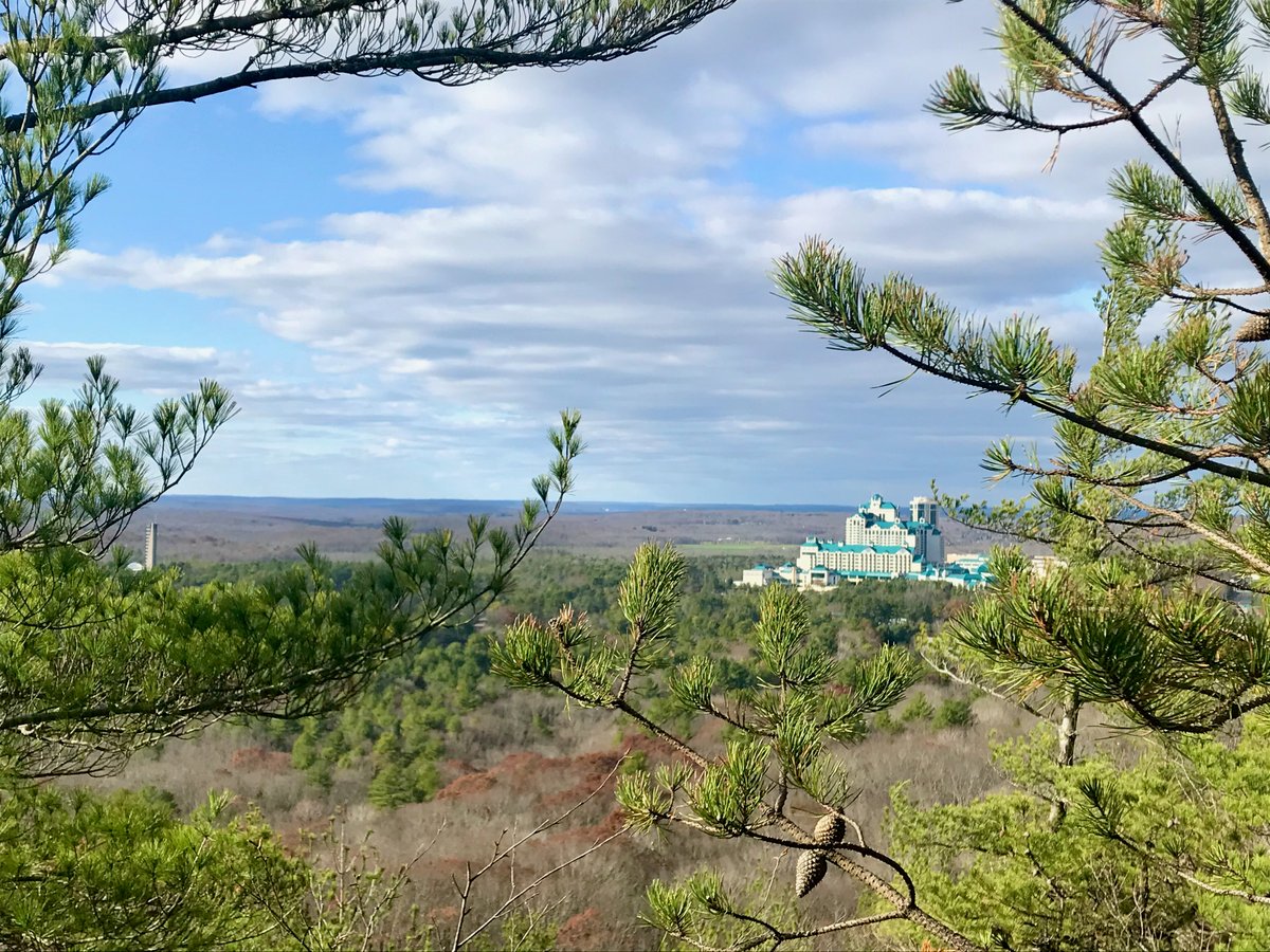
A 1614 map shows the first records of Pequot land. The tribe names this northern upland Wawarramoreke. The Mashantucket Pequot Reservation Archeological District is in the northeast corner of the town of Ledyard, Connecticut.
In 1666, the Connecticut Colony set aside 3,000 acres. The population dwindled over two centuries. By 1856, the state shrunk the reservation to 216 acres. The tribe fought back in the 1970s with a land claim suit. They recovered more than 2,000 acres via a settlement affirmed by an act of Congress.
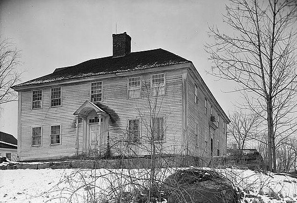
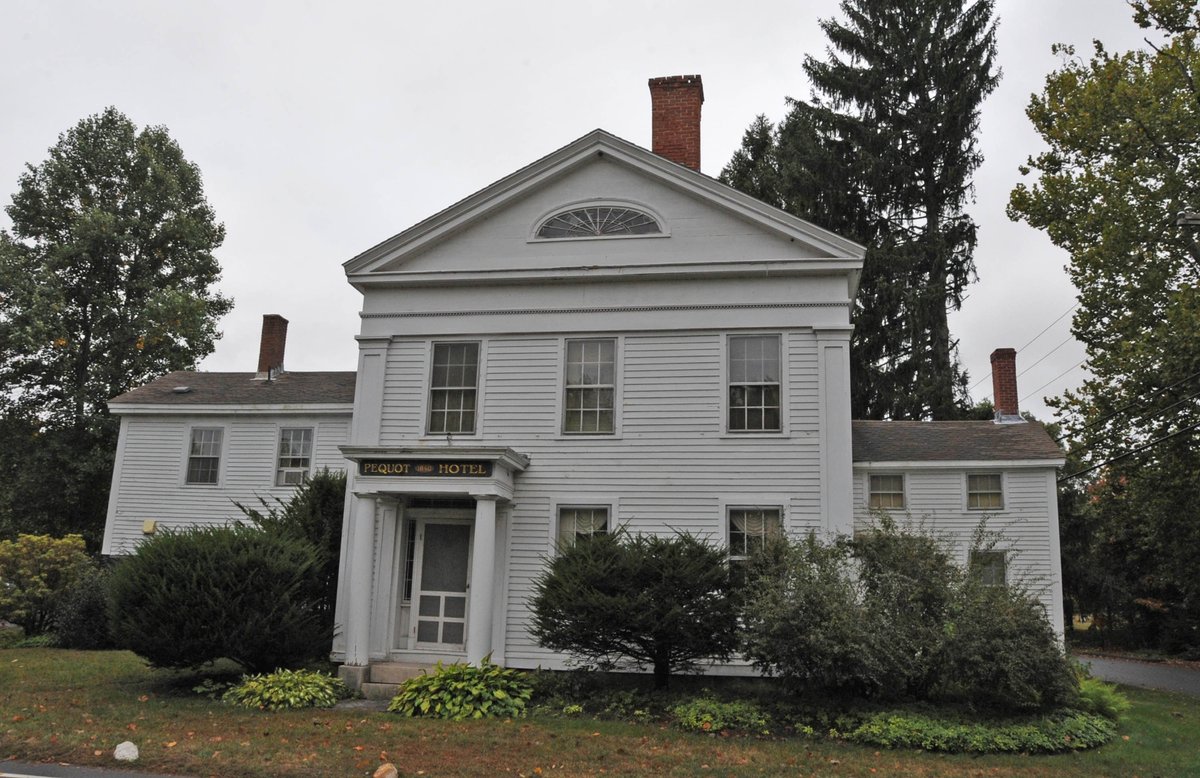
Archaeological investigations into these lands have identified more than fifteen sites of interest. They found 16th-century trade items and quartz stonework. Some farmsteads were 3 to 4 acres and wrapped in stone walls. By the 1700s, people lived in wigwams and European-style houses.
The Mashantucket Pequot Reservation Archeological District is a National Historic Landmark. The tribe considers the entire reservation to be archaeologically sensitive, requiring investigation before any significant construction projects take place on its territory.
Sources: Wikipedia, OpenStreetMap, Wikidata, Wikimedia Commons
Written by Leroy
Discuss this with the author and others
No comments yet. Be the first to start the conversation.