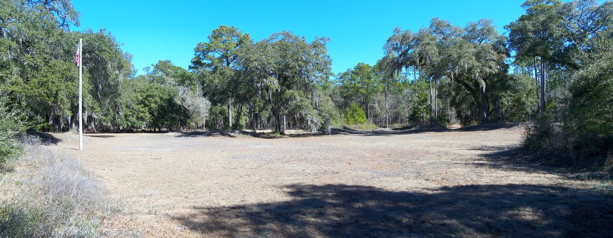

Prospect Bluff, a fine bluff overlooking the Apalachicola River, is known today as the site of two forts. The earlier and larger one was built by the British in 1814 during the War of 1812. After the British evacuated Florida in 1815, they allowed members of the disbanded Corps of Colonial Marines, made up largely of fugitive slaves, and Creek tribesmen to occupy it. It was destroyed in a river attack from U.S. forces in 1816, after which Fort Gadsden was built in 1818 within the former walls of the earlier fort.
Spanish forces in Florida had limited ability to govern their territory, and many slaves found the best route to freedom through Prospect Bluff. The Prospect Bluff Historic Sites has been managed by the U.S. Forest Service since 1940 and is located in Franklin County, Florida. Today, the site contains interpretive signage, a picnic area with a pavilion, and restrooms, all situated in an area that was once a swamp that almost surrounded the bluff.
The location was known by several names, including British post, Nicholls' Fort, Blount's Fort, and African Fort. The local natives called the land Achackwheithle. Its name parallels the Spanish one, Loma de Buena Vista, which literally means "hill with a good view." The site was historically remote, as the river served as the boundary between East and West Florida during the British and Spanish periods.
Sources: Wikipedia, OpenStreetMap, Wikidata, Wikimedia Commons
Written by Friendly Jane
Discuss this with the author and others
No comments yet. Be the first to start the conversation.