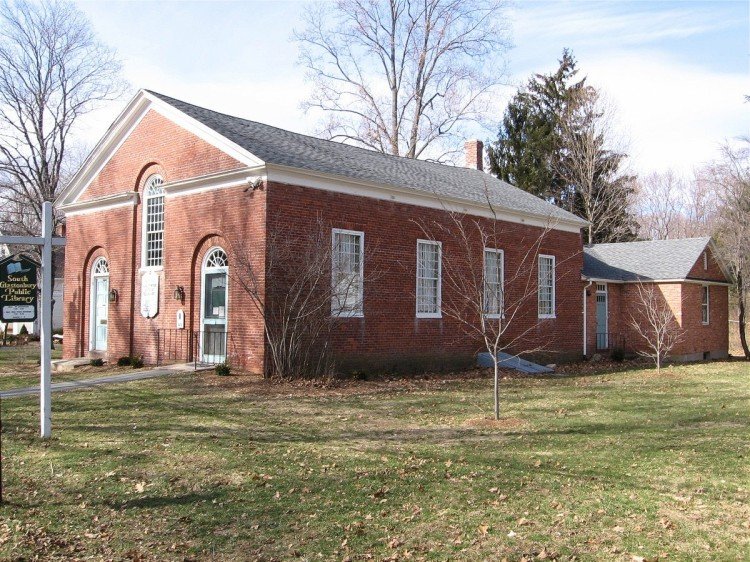

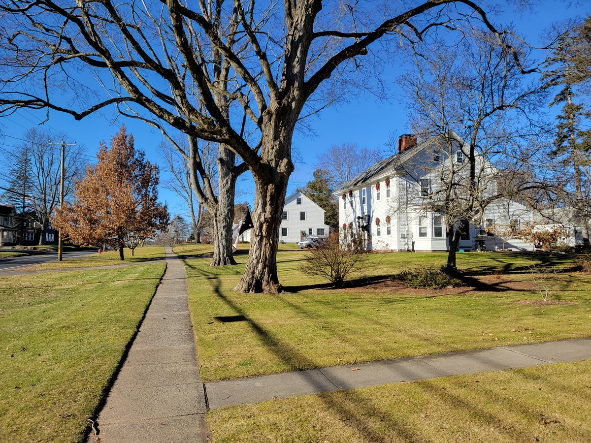
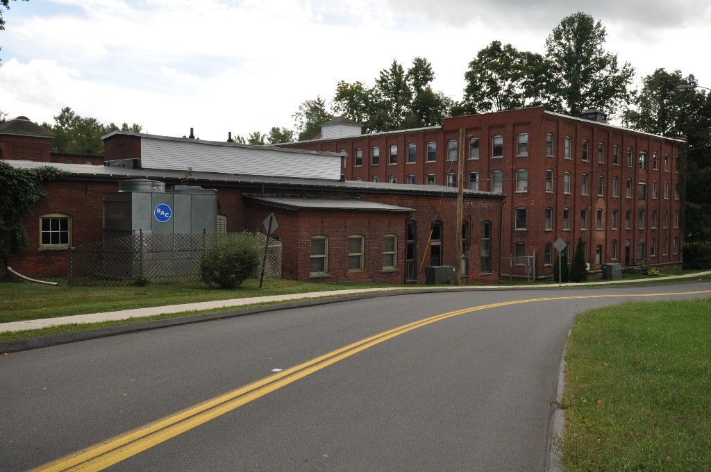
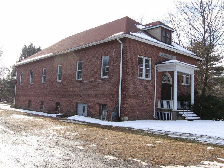
The South Glastonbury Historic District is a historic district in Glastonbury, Connecticut, where the village center was first settled in the 17th century. The district was listed on the National Register of Historic Places in 1984 and was later enlarged in 2009 to include properties as far as Chestnut Hill Road. Locals often refer to the area as SoG.
During the 17th century, the river meadows were used as farmland by the proprietors of Wethersfield, one of Connecticut's oldest colonial settlements. By the late 17th century, there was enough permanent settlement for Glastonbury to be incorporated as a separate town in 1693. High Street, extending east from the Rocky Hill–Glastonbury ferry, is the oldest road in the town. South Glastonbury developed as the town's first village, spurred by the development of grist and saw mills on Roaring Brook to the east.
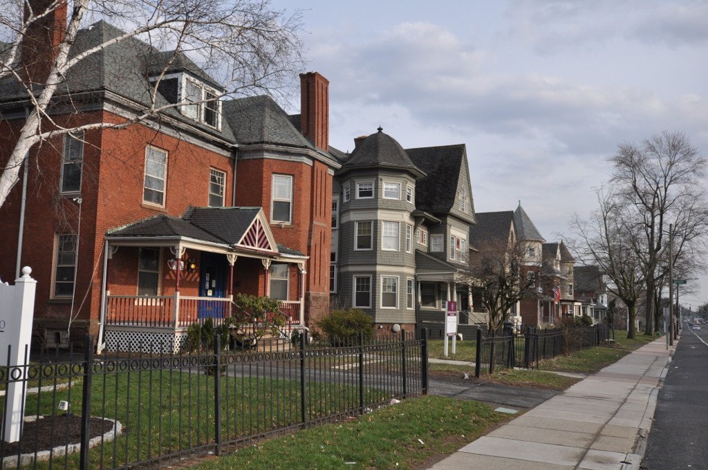
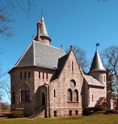
The village center is a triangle made up of all or part of Main, High, and Water Streets. It includes 83 contributing resources, such as a c. 1740 house at 120 High Street and the c. 1878 Carpenter Gothic St. Augustine's Church. The oldest surviving building in the district is the c. 1731 Tryon House at 879 Main Street. The district also features the Welles-Shipman-Ward House, a Georgian house built about 1755.
Sources: Wikipedia, OpenStreetMap, Wikidata, Wikimedia Commons
Written by Friendly Jane
Discuss this with the author and others
No comments yet. Be the first to start the conversation.