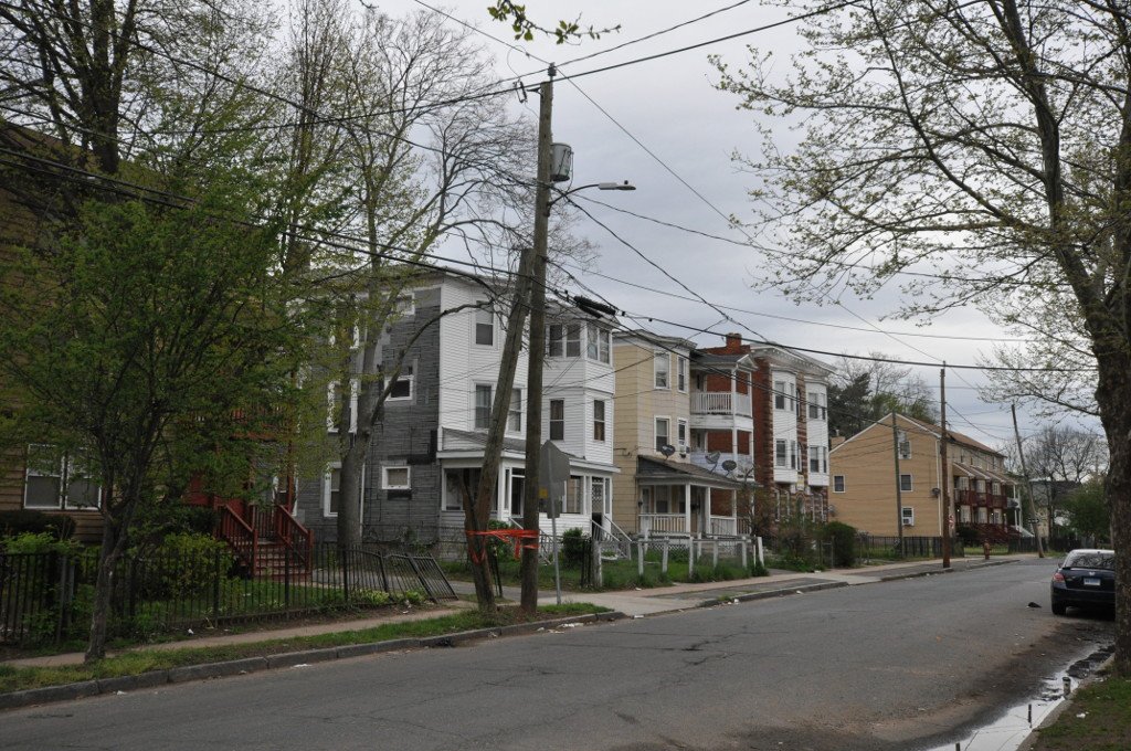

Hartford's North End, a spot between Main and Enfield Streets, has been on the National Register of Historic Places since 1982. This district shows the development patterns of the city's economy between about 1865 and 1910. Spring Grove Cemetery, founded in 1845, formed a natural barrier between the older development in the city's Clay-Arsenal area and this northern section of Hartford.
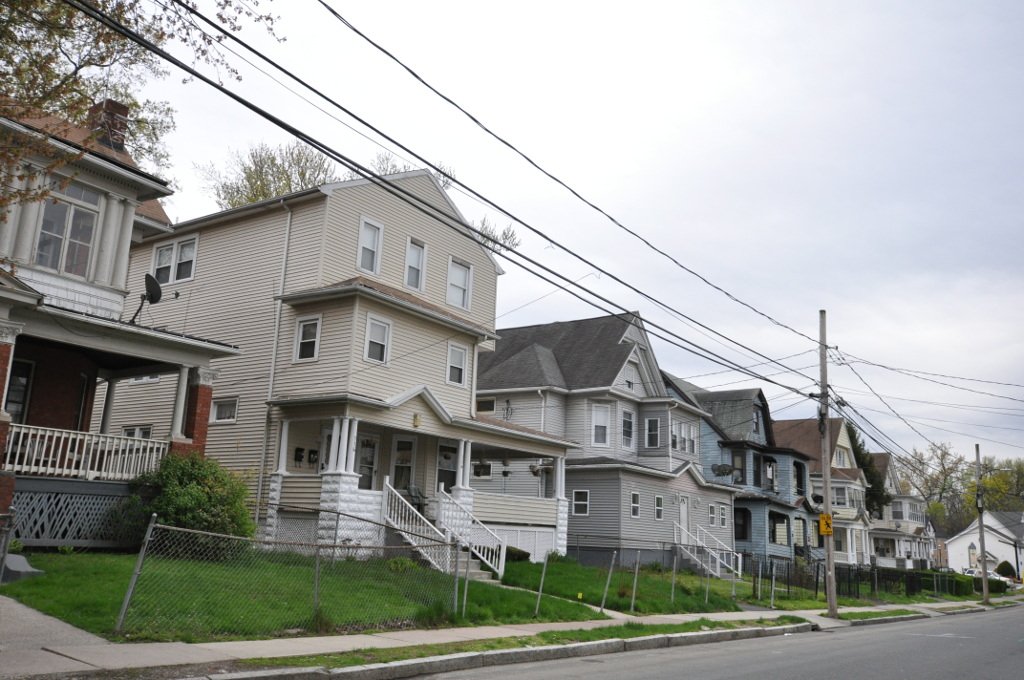
After the Civil War, economic growth pushed residential development into this area. Between 1867 and 1873, Capen Street and three roads leading north from it were laid out, and a series of vernacular Italianate houses and Second Empire were built. The economy slumped in the late 1870s and did not pick up again until the late 1880s, when infill development began, spurred by expansion of the city's streetcar network, resulting in the addition of Queen Anne Victorians.
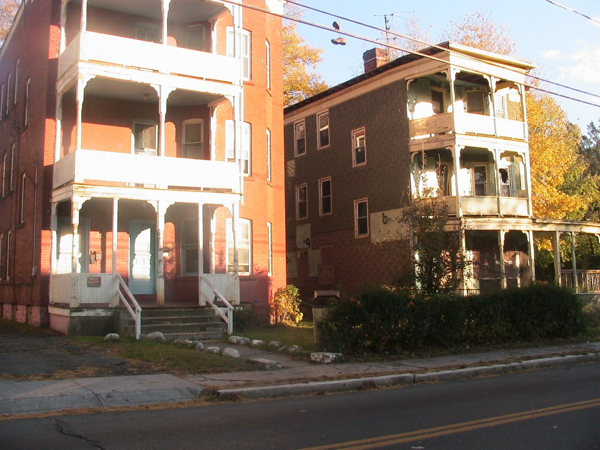
Capen Street runs east-west between Main and Enfield Streets and is bordered on the south by Spring Grove Cemetery. The district extends northward along Clark, Barbour, Martin, and Garden Streets, and includes properties on Main and Elmer Streets. Buildings range in height from 1-1/2 to three stories and are generally of wood frame or brick construction. Most are single family residences, but there are also two-family houses, triple deckers, and a few apartment blocks.
Non-residential buildings include a former school complex, now a community center, and a church. This neighborhood provides a cross-section of post-Civil War Victorian vernacular housing styles and reflects the ebb and flow of Hartford's economic history.
Sources: Wikipedia, OpenStreetMap, Wikidata, Wikimedia Commons
Written by Friendly Jane
Discuss this with the author and others
No comments yet. Be the first to start the conversation.