
Back between 1964 and 1971, a quiet stretch of the Keweenaw Peninsula became a hub for the Meteorological Rocket Network. It was a collaboration between NASA and the University of Michigan to gather data on solar X-rays, electron density, and Lyman alpha flux.
If you were looking for the heavy hitters, you would have seen the Nike Apache. That rocket was over 28 feet tall and could reach an altitude of almost 100 miles. But the project also relied on something way smaller called the Mighty Mouse. These rockets were only a few feet tall with folding fins.
Engineers launched about 50 of these little rockets from a floating buoy 2.5 miles offshore. The goal was to determine if the rockets could be launched from a closed-breech launcher to help protect them from the elements. If they succeeded, it would lead to a system of ocean buoys for collecting weather information.
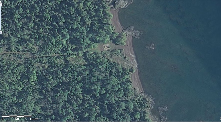
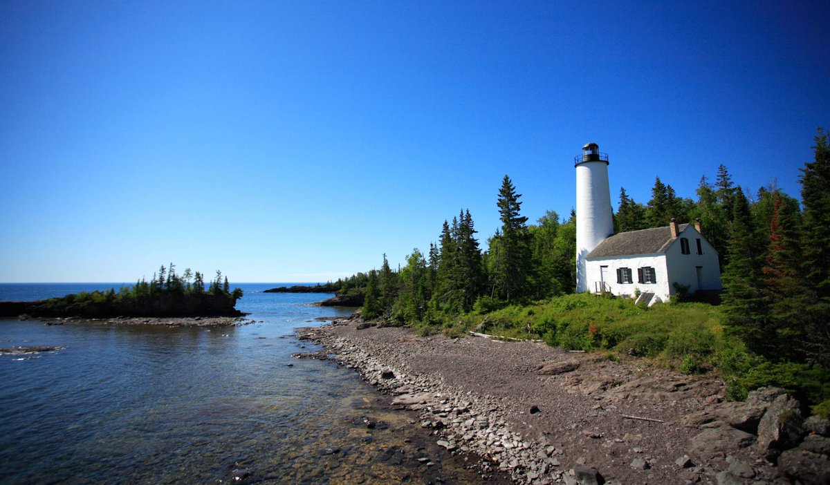
All that high-tech gear is gone now. If you make the trek past Copper Harbor and follow the seasonal road and ATV trail to the end, you won't find a command center. There is just a concrete pad with an iron rail marked with degrees and a memorial plaque. It is a quiet spot, but the view of Lake Superior and Manitou Island is spectacular.
Sources: Wikipedia, OpenStreetMap, Wikidata, Wikimedia Commons

Written by Friendly Jane
Discuss this with the author and others
No comments yet. Be the first to start the conversation.