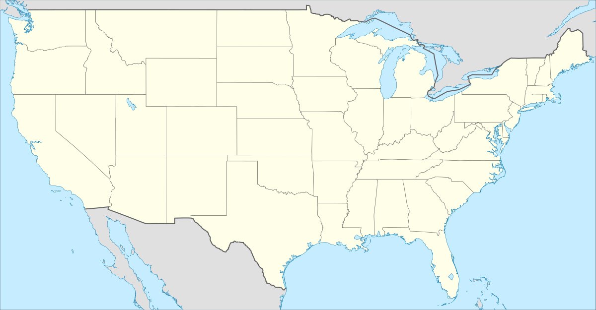
The exact spot where Kansas, Colorado, and Oklahoma meet is currently hidden by a steel cover. It sits beneath the grade of the westbound lane of State Line Road. In 1990, the Bureau of Land Management reestablished the corner, placing a steel cover over the survey marker.
On top of the tri-state monument is a manhole cover with embossing to indicate its location at the tri-point of the three states. A few feet below the closed manhole is the Department of the Interior cadastral survey disk set in concrete, part of the Federal Base Network. This point is the meeting point for the Western United States (Colorado), the Midwestern United States (Kansas), and the Southern United States (Oklahoma).
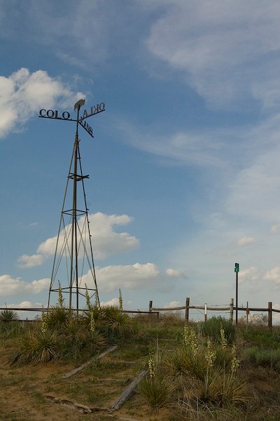
The old monument, locally referred to as a "windmill," was built in 1903. It featured a mock weather vane with a bison silhouette that pointed toward each state. This weather vane was reported to have been destroyed between 2011 and 2019.
Morton County announced a replacement for the old vane on January 5, 2024. The new landmark appears to be a weather vane similar to the 1903 landmark, surmounted with a bison silhouette as before. The site is surrounded by yucca blooms in the spring and buffalo gourd in the summer, where visitors might see mule deer, prairie dogs, and burrowing owls.
Sources: Wikipedia, OpenStreetMap, Wikidata, Wikimedia Commons
Written by Leroy
Discuss this with the author and others
No comments yet. Be the first to start the conversation.